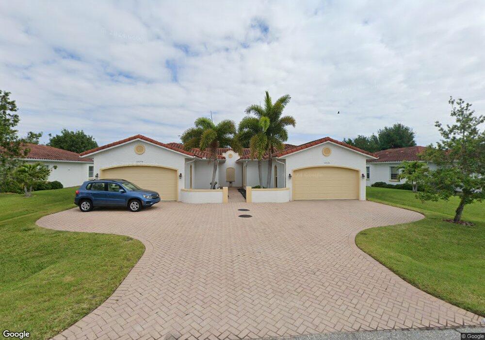
12376 Grouse Ave Unit 10B Port Charlotte, FL 33981
Englewood East NeighborhoodEstimated Value: $243,902 - $314,000
3
Beds
3
Baths
1,509
Sq Ft
$185/Sq Ft
Est. Value
About This Home
This home is located at 12376 Grouse Ave Unit 10B, Port Charlotte, FL 33981 and is currently estimated at $279,726, approximately $185 per square foot. 12376 Grouse Ave Unit 10B is a home located in Charlotte County with nearby schools including Myakka River Elementary School, L.A. Ainger Middle School, and Lemon Bay High School.
Ownership History
Date
Name
Owned For
Owner Type
Purchase Details
Closed on
Jan 18, 2017
Sold by
Hellinger Ralf
Bought by
Sexe David A and Sexe Sharon L
Current Estimated Value
Purchase Details
Closed on
Jun 25, 2009
Sold by
J & 7 Properties Llc
Bought by
Hellinger Ralf
Home Financials for this Owner
Home Financials are based on the most recent Mortgage that was taken out on this home.
Original Mortgage
$97,300
Interest Rate
4.79%
Mortgage Type
Unknown
Create a Home Valuation Report for This Property
The Home Valuation Report is an in-depth analysis detailing your home's value as well as a comparison with similar homes in the area
Home Values in the Area
Average Home Value in this Area
Purchase History
| Date | Buyer | Sale Price | Title Company |
|---|---|---|---|
| Sexe David A | $195,000 | Coastal Security Title | |
| Hellinger Ralf | $139,990 | Stewart Title Company |
Source: Public Records
Mortgage History
| Date | Status | Borrower | Loan Amount |
|---|---|---|---|
| Previous Owner | Hellinger Ralf | $97,300 |
Source: Public Records
Tax History Compared to Growth
Tax History
| Year | Tax Paid | Tax Assessment Tax Assessment Total Assessment is a certain percentage of the fair market value that is determined by local assessors to be the total taxable value of land and additions on the property. | Land | Improvement |
|---|---|---|---|---|
| 2023 | $4,601 | $223,586 | $0 | $0 |
| 2022 | $4,384 | $266,951 | $0 | $266,951 |
| 2021 | $3,788 | $186,215 | $0 | $186,215 |
| 2020 | $3,405 | $167,984 | $0 | $167,984 |
| 2019 | $3,265 | $161,473 | $0 | $161,473 |
| 2018 | $2,975 | $157,566 | $0 | $157,566 |
| 2017 | $2,950 | $157,566 | $0 | $0 |
| 2016 | $2,870 | $137,717 | $0 | $0 |
| 2015 | $2,572 | $125,197 | $0 | $0 |
| 2014 | $2,319 | $113,815 | $0 | $0 |
Source: Public Records
Map
Nearby Homes
- 12354 Grouse Ave Unit 8A
- 12396 N Access Rd
- 6449 Kevitt Blvd
- 12541 Buffing Rd
- 12142 Appleberg Cir
- 7310 David Blvd
- 7556 David Blvd
- 6440 & 6448 David Blvd
- 5698 David Blvd
- 6211 Barrel St
- 12216 van Gough Ave
- 6203 Barrel St
- 12307 S Access Rd
- 12208 Grouse Ave Unit 16
- 6395 Kevitt Blvd
- 6413 6431 Kevitt Blvd
- 6401 & 6365 Kevitt Blvd
- 6383 Kevitt Blvd
- 7160 David Blvd
- 12208 Tetzel Ave
- 12374 Grouse Ave Unit 10A
- 12384 Grouse Ave Unit 11A
- 12366 Grouse Ave Unit 9B
- 12344 Grouse Ave Unit 7A
- 12386 Grouse Ave Unit 11B
- 12364 Grouse Ave Unit 9A
- 12364 Grouse Ave
- 12394 Grouse Ave Unit 12A
- 12356 Grouse Ave Unit 8B
- 12396 Grouse Ave Unit 12B
- 12404 Avenue
- 12404 Grouse Ave Unit 10-A
- 12404 Grouse Ave Unit 13A
- 12404 Grouse Ave
- 12406 Grouse Ave Unit 13B
- 12346 Grouse Ave Unit 7B
- 12414 Grouse Ave Unit 14A
- 12416 Grouse Ave Unit 14B
- 12416 Grouse Ave
- 12334 Grouse Ave Unit 6A