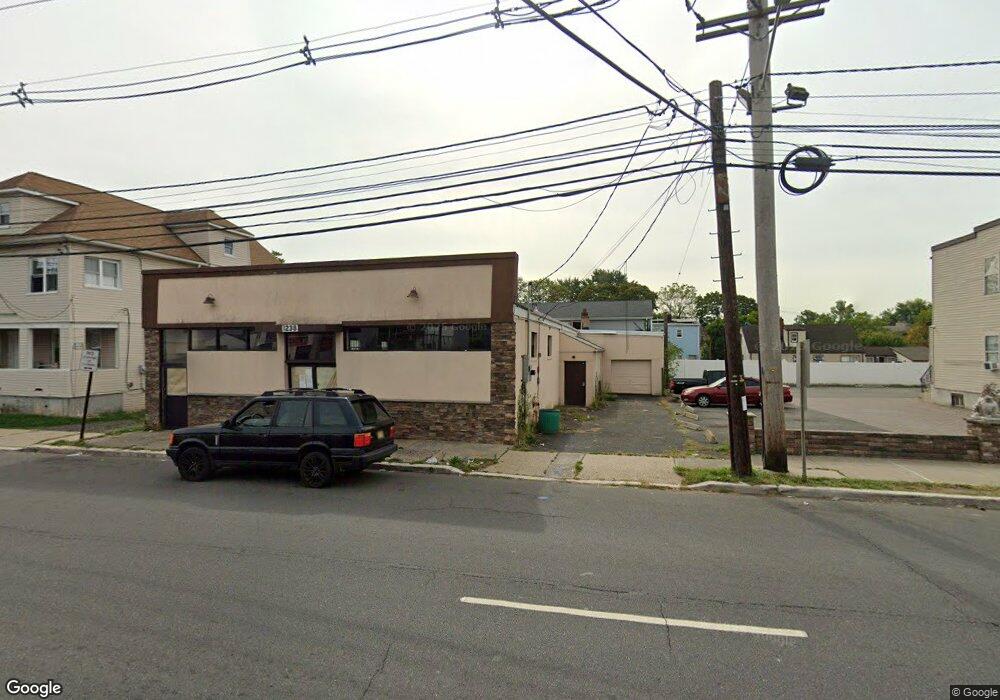
1238 E Saint Georges Ave Unit 1 Linden, NJ 07036
Estimated Value: $615,861
Studio
--
Bath
--
Sq Ft
6,011
Sq Ft Lot
About This Home
This home is located at 1238 E Saint Georges Ave Unit 1, Linden, NJ 07036 and is currently estimated at $615,861. 1238 E Saint Georges Ave Unit 1 is a home located in Union County with nearby schools including Dr Charles C Polk School, Grace Wilday Junior High School, and Leonard V. Moore Middle School.
Ownership History
Date
Name
Owned For
Owner Type
Purchase Details
Closed on
Jan 2, 2025
Sold by
Morning Star Community Christian Center and Morning Star Holy Church Inc
Bought by
1238 E Saint Georges Ave Llc
Current Estimated Value
Purchase Details
Closed on
Oct 30, 1981
Bought by
Morning Star Holy Church
Create a Home Valuation Report for This Property
The Home Valuation Report is an in-depth analysis detailing your home's value as well as a comparison with similar homes in the area
Home Values in the Area
Average Home Value in this Area
Purchase History
| Date | Buyer | Sale Price | Title Company |
|---|---|---|---|
| 1238 E Saint Georges Ave Llc | $601,000 | Chicago Title | |
| Morning Star Holy Church | $70,000 | -- |
Source: Public Records
Tax History
| Year | Tax Paid | Tax Assessment Tax Assessment Total Assessment is a certain percentage of the fair market value that is determined by local assessors to be the total taxable value of land and additions on the property. | Land | Improvement |
|---|---|---|---|---|
| 2025 | -- | $373,000 | $60,000 | $313,000 |
| 2024 | -- | $373,000 | $60,000 | $313,000 |
Source: Public Records
Map
Nearby Homes
- 1310 E Henry St
- 1123 Thompson Ave
- 943 Drake Ave
- 930 Drake Ave
- 1025 Rivington St
- 415 E 10th Ave
- 1022 Frank St
- 1202 Warren St
- 410 Morris Place
- 505 Saint Marks St Unit 2
- 13 Carolyn Terrace Unit A
- 1129 Spruce St
- 807 Carnegie St
- 761 Drake Ave
- 37A Carolyn Terrace
- 291 E 12th Ave
- 830 E Curtis St
- 721 Sheridan Ave
- 811 Jackson Ave
- 3 Fern St
- 1238 E Saint Georges Ave
- 1308 E Saint Georges Ave
- 1231 Union St
- 1231 Union St Unit 1
- 1228 E Saint Georges Ave Unit 2
- 1228 E Saint Georges Ave
- 1225 Union St
- 1225 Union St Unit 1
- 1228 E St Georges Ave
- 1228 E St Georges Ave Unit 1
- 1235 Union St
- 1226 E Saint Georges Ave
- 1251 Saint George Ave
- 1218 E Saint Georges Ave
- 1303 Union St
- 1213 Union St
- 1211 Union St
- 1214 E Saint Georges Ave
- 1320 E St George Ave
- 1224 Union St
Your Personal Tour Guide
Ask me questions while you tour the home.