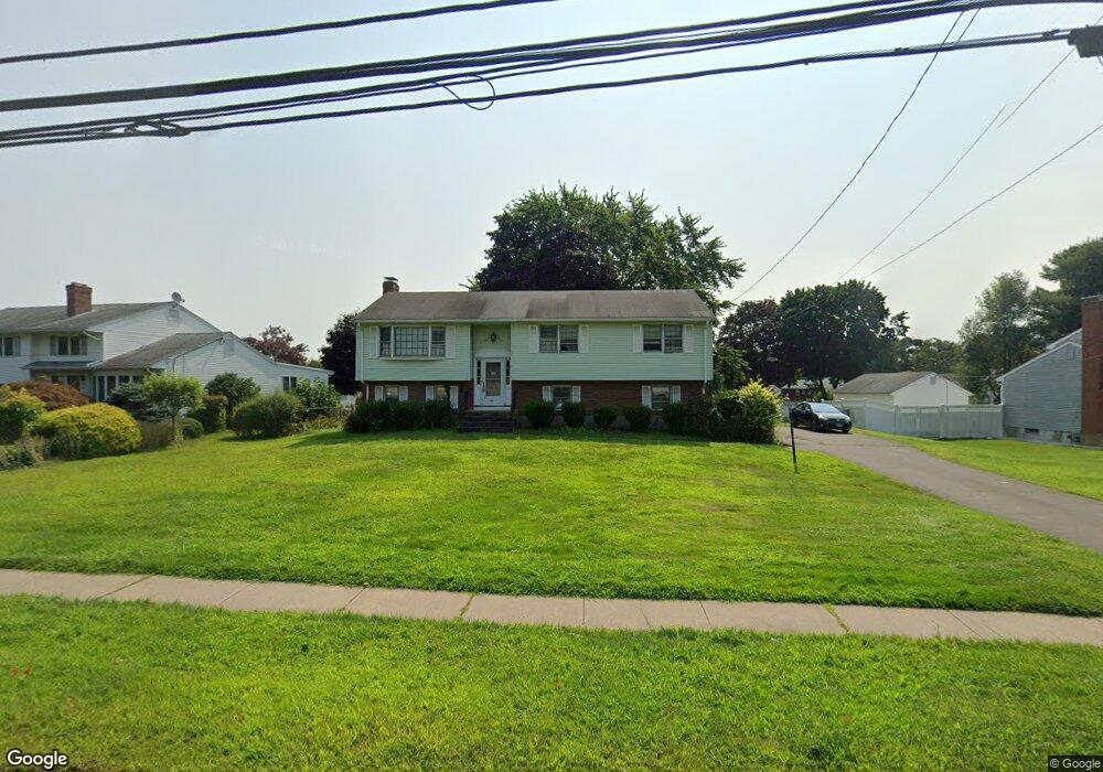
1238 Maple St Rocky Hill, CT 06067
Estimated Value: $385,000 - $479,000
3
Beds
2
Baths
1,262
Sq Ft
$336/Sq Ft
Est. Value
About This Home
This home is located at 1238 Maple St, Rocky Hill, CT 06067 and is currently estimated at $423,695, approximately $335 per square foot. 1238 Maple St is a home located in Hartford County with nearby schools including Albert D. Griswold Middle School, Rocky Hill High School, and Corpus Christi School.
Ownership History
Date
Name
Owned For
Owner Type
Purchase Details
Closed on
Aug 17, 2000
Sold by
Miller Mary R
Bought by
Benson Daniel E and Benson Ellen P
Current Estimated Value
Home Financials for this Owner
Home Financials are based on the most recent Mortgage that was taken out on this home.
Original Mortgage
$163,875
Outstanding Balance
$59,042
Interest Rate
8.13%
Estimated Equity
$364,653
Create a Home Valuation Report for This Property
The Home Valuation Report is an in-depth analysis detailing your home's value as well as a comparison with similar homes in the area
Home Values in the Area
Average Home Value in this Area
Purchase History
| Date | Buyer | Sale Price | Title Company |
|---|---|---|---|
| Benson Daniel E | $172,500 | -- | |
| Benson Daniel E | $172,500 | -- |
Source: Public Records
Mortgage History
| Date | Status | Borrower | Loan Amount |
|---|---|---|---|
| Open | Benson Daniel E | $163,875 | |
| Closed | Benson Daniel E | $163,875 |
Source: Public Records
Tax History Compared to Growth
Tax History
| Year | Tax Paid | Tax Assessment Tax Assessment Total Assessment is a certain percentage of the fair market value that is determined by local assessors to be the total taxable value of land and additions on the property. | Land | Improvement |
|---|---|---|---|---|
| 2025 | $6,285 | $207,830 | $67,900 | $139,930 |
| 2024 | $6,062 | $207,830 | $67,900 | $139,930 |
| 2023 | $5,786 | $161,070 | $67,060 | $94,010 |
| 2022 | $5,560 | $161,070 | $67,060 | $94,010 |
| 2021 | $5,492 | $161,070 | $67,060 | $94,010 |
| 2020 | $5,412 | $161,070 | $67,060 | $94,010 |
| 2019 | $5,235 | $161,070 | $67,060 | $94,010 |
| 2018 | $4,958 | $153,020 | $60,410 | $92,610 |
| 2017 | $4,835 | $153,020 | $60,410 | $92,610 |
| 2016 | $4,744 | $153,020 | $60,410 | $92,610 |
| 2015 | $4,545 | $153,020 | $60,410 | $92,610 |
| 2014 | $4,545 | $153,020 | $60,410 | $92,610 |
Source: Public Records
Map
Nearby Homes
- 52 Sandy Dr
- 45 Sandy Dr
- 370 Hayes Rd
- 180 Hayes Rd
- 285 Hang Dog Ln
- 89 Gilbert Ave
- 887 Cloverdale Cir
- 165 Falcon Ridge Rd
- 221 Westmeadow Rd
- 268 Fox Hill Rd
- 15 Murphy Dr
- 211 Fairlane Dr
- 409 Carlton Ln Unit 409
- 32 Wright Rd
- 18 Stone Hill Dr
- 135 Old Common Rd
- 127 2 Rod Hwy
- 24 Pine Meadow Rd
- 7 Pearl Ln
- 38 Parish Rd
- 1234 Maple St
- 1244 Maple St
- 1269 Maple St
- 1279 Maple St
- 1259 Maple St
- 306 Cromwell Ave
- 1224 Maple St
- 1249 Maple St
- 277 Candle Lite Dr
- 115 Fernwood Dr
- 129 Fernwood Dr
- 105 Fernwood Dr
- 259 Candle Lite Dr
- 43 Harvest Ln
- 33 Harvest Ln
- 1239 Maple St
- 53 Harvest Ln
- 23 Harvest Ln
- 63 Harvest Ln
- 245 Candle Lite Dr