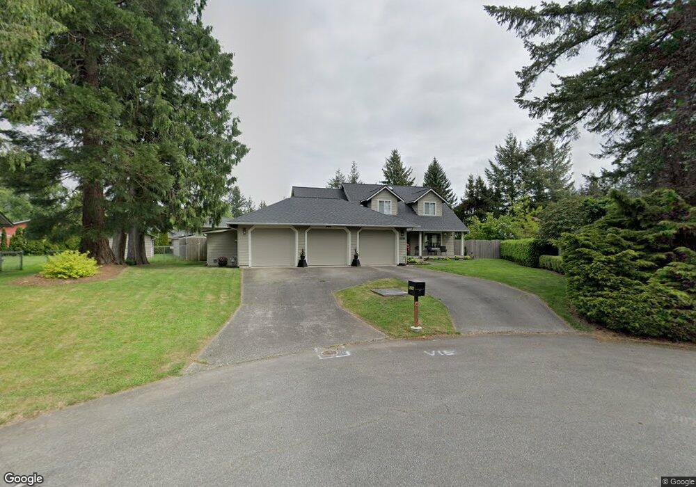
1238 Shaner Ln Ferndale, WA 98248
Estimated Value: $746,814 - $966,000
4
Beds
3
Baths
2,438
Sq Ft
$336/Sq Ft
Est. Value
About This Home
This home is located at 1238 Shaner Ln, Ferndale, WA 98248 and is currently estimated at $818,204, approximately $335 per square foot. 1238 Shaner Ln is a home located in Whatcom County with nearby schools including Cascadia Elementary School, Vista Middle School, and Ferndale High School.
Ownership History
Date
Name
Owned For
Owner Type
Purchase Details
Closed on
Aug 27, 2025
Sold by
Wickkiser Larry Lee and Wickkiser Charlotte Marie
Bought by
Wickkiser Family Trust and Wickkiser
Current Estimated Value
Purchase Details
Closed on
Jun 24, 2005
Sold by
Wells Fargo Bank Minnesota Na
Bought by
Wickkiser Larry and Wickkiser Charlotte
Purchase Details
Closed on
Nov 3, 2004
Sold by
Boyd Deborah J
Bought by
The Provident Bank
Create a Home Valuation Report for This Property
The Home Valuation Report is an in-depth analysis detailing your home's value as well as a comparison with similar homes in the area
Home Values in the Area
Average Home Value in this Area
Purchase History
| Date | Buyer | Sale Price | Title Company |
|---|---|---|---|
| Wickkiser Family Trust | $313 | None Listed On Document | |
| Wickkiser Larry | $278,000 | Chicago Title Insurance | |
| Wells Fargo Bank Minnesota Na | $278,000 | Chicago Title Insurance | |
| The Provident Bank | $259,900 | Chicago Title Insurance |
Source: Public Records
Tax History Compared to Growth
Tax History
| Year | Tax Paid | Tax Assessment Tax Assessment Total Assessment is a certain percentage of the fair market value that is determined by local assessors to be the total taxable value of land and additions on the property. | Land | Improvement |
|---|---|---|---|---|
| 2024 | $5,077 | $702,426 | $220,675 | $481,751 |
| 2023 | $5,077 | $713,222 | $250,000 | $463,222 |
| 2022 | $4,412 | $576,570 | $168,534 | $408,036 |
| 2021 | $4,448 | $476,503 | $139,284 | $337,219 |
| 2020 | $4,284 | $441,218 | $128,970 | $312,248 |
| 2019 | $3,421 | $384,287 | $112,329 | $271,958 |
| 2018 | $3,917 | $351,342 | $102,699 | $248,643 |
| 2017 | $3,482 | $307,898 | $90,000 | $217,898 |
| 2016 | $3,280 | $292,482 | $71,656 | $220,826 |
| 2015 | $3,303 | $275,081 | $67,841 | $207,240 |
| 2014 | -- | $269,481 | $66,300 | $203,181 |
| 2013 | -- | $265,970 | $65,000 | $200,970 |
Source: Public Records
Map
Nearby Homes
- 1300 W Axton Rd
- 5925 Longdin Rd
- 1245 W Axton Rd
- 1371 W Axton Rd
- 0 W Axton Rd
- 1142 Deer Creek Ln
- 1655 Main St
- 5502 Northwest Dr
- 1257 Lattimore Rd
- 1125 Lattimore Rd
- 5985 Aldrich Rd
- 6206 Gadwa Rd
- 1411 Woods Point Loop
- 5350 Kaitlyn Ct
- 5400 Barrett Rd
- 1814 Newkirk Rd
- 5330 Bel Dr W
- 0 Riverside Dr Unit NWM2356867
- 6255 Aldrich Rd
- 5306 Myers Dr