1238 Weatherstone Ct Reston, VA 20194
Tall Oaks/Uplands NeighborhoodEstimated Value: $748,521 - $776,000
3
Beds
3
Baths
1,725
Sq Ft
$442/Sq Ft
Est. Value
About This Home
This home is located at 1238 Weatherstone Ct, Reston, VA 20194 and is currently estimated at $762,261, approximately $441 per square foot. 1238 Weatherstone Ct is a home located in Fairfax County with nearby schools including Aldrin Elementary, Herndon Middle School, and Herndon High School.
Ownership History
Date
Name
Owned For
Owner Type
Purchase Details
Closed on
Mar 17, 2016
Sold by
Long David Frederick and Middleberg Long Sharon
Bought by
David And Sharon Long Revocable Trust Da
Current Estimated Value
Purchase Details
Closed on
Jun 20, 1996
Sold by
Vanmetre Resident L Construct L
Bought by
Long David F
Home Financials for this Owner
Home Financials are based on the most recent Mortgage that was taken out on this home.
Original Mortgage
$186,950
Interest Rate
8.21%
Purchase Details
Closed on
Dec 28, 1995
Sold by
Reston Land Corp
Bought by
Van Metre Res Construction
Create a Home Valuation Report for This Property
The Home Valuation Report is an in-depth analysis detailing your home's value as well as a comparison with similar homes in the area
Home Values in the Area
Average Home Value in this Area
Purchase History
| Date | Buyer | Sale Price | Title Company |
|---|---|---|---|
| David And Sharon Long Revocable Trust Da | -- | None Available | |
| Long David F | $233,725 | -- | |
| Van Metre Res Construction | $225,000 | -- |
Source: Public Records
Mortgage History
| Date | Status | Borrower | Loan Amount |
|---|---|---|---|
| Previous Owner | Van Metre Res Construction | $186,950 | |
| Closed | Van Metre Res Construction | $23,350 |
Source: Public Records
Tax History Compared to Growth
Tax History
| Year | Tax Paid | Tax Assessment Tax Assessment Total Assessment is a certain percentage of the fair market value that is determined by local assessors to be the total taxable value of land and additions on the property. | Land | Improvement |
|---|---|---|---|---|
| 2025 | $8,269 | $732,790 | $235,000 | $497,790 |
| 2024 | $8,269 | $685,980 | $215,000 | $470,980 |
| 2023 | $7,721 | $656,810 | $205,000 | $451,810 |
| 2022 | $6,900 | $579,610 | $175,000 | $404,610 |
| 2021 | $6,421 | $526,090 | $150,000 | $376,090 |
| 2020 | $6,339 | $515,140 | $150,000 | $365,140 |
| 2019 | $6,303 | $512,210 | $150,000 | $362,210 |
| 2018 | $5,785 | $503,000 | $145,000 | $358,000 |
| 2017 | $6,003 | $496,910 | $145,000 | $351,910 |
| 2016 | $6,253 | $518,670 | $145,000 | $373,670 |
| 2015 | $5,975 | $513,740 | $145,000 | $368,740 |
| 2014 | $5,797 | $499,560 | $145,000 | $354,560 |
Source: Public Records
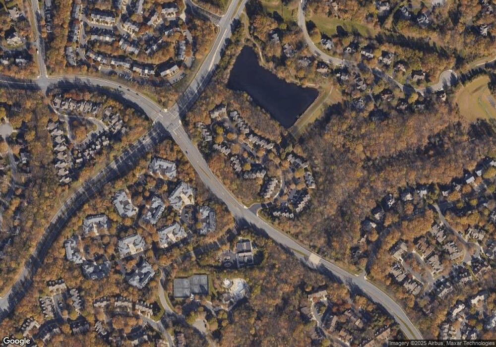
Map
Nearby Homes
- 11408 Gate Hill Place Unit 113
- 1307 Windleaf Dr Unit 139
- 1350 Red Hawk Cir
- 1361 Garden Wall Cir Unit 701
- 1334 Garden Wall Cir Unit C
- 1316 Park Garden Ln
- 11603 Auburn Grove Ct
- 1281 Wedgewood Manor Way
- 1303 Wedgewood Manor Way
- 1247 Lamplighter Way
- 11504 Turnbridge Ln
- 1403 Church Hill Place
- 1435 Church Hill Place Unit 1435
- 11181 Longwood Grove Dr
- 1534 Church Hill Place
- 1532 Church Hill Place
- 11752 Great Owl Cir
- 11665 Gilman Ln
- 11733 Summerchase Cir Unit 1733C
- 11709 Summerchase Cir Unit D
- 1240 Weatherstone Ct
- 1234 Weatherstone Ct
- 1232 Weatherstone Ct
- 1246 Weatherstone Ct
- 1230 Weatherstone Ct
- 1258 Weatherstone Ct
- 1256 Weatherstone Ct
- 1260 Weatherstone Ct
- 1262 Weatherstone Ct
- 1224 Weatherstone Ct
- 1264 Weatherstone Ct
- 1222 Weatherstone Ct
- 1231 Weatherstone Ct
- 1229 Weatherstone Ct
- 1233 Weatherstone Ct
- 1235 Weatherstone Ct
- 1227 Weatherstone Ct
- 1225 Weatherstone Ct
- 1220 Weatherstone Ct
- 1218 Weatherstone Ct