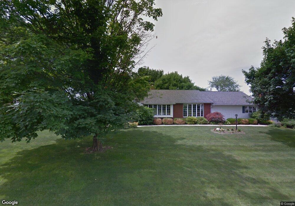
12381 Barbara Dr Kenton, OH 43326
Estimated Value: $299,898 - $326,000
4
Beds
4
Baths
2,423
Sq Ft
$129/Sq Ft
Est. Value
About This Home
This home is located at 12381 Barbara Dr, Kenton, OH 43326 and is currently estimated at $311,475, approximately $128 per square foot. 12381 Barbara Dr is a home located in Hardin County with nearby schools including Kenton Elementary School, Kenton Middle School, and Kenton High School.
Ownership History
Date
Name
Owned For
Owner Type
Purchase Details
Closed on
Oct 22, 1996
Bought by
Bidwell Thomas E and Bidwell Lee A
Current Estimated Value
Purchase Details
Closed on
Jun 21, 1993
Bought by
Gatien Charlotte Y
Purchase Details
Closed on
Aug 23, 1988
Purchase Details
Closed on
Jul 16, 1986
Create a Home Valuation Report for This Property
The Home Valuation Report is an in-depth analysis detailing your home's value as well as a comparison with similar homes in the area
Home Values in the Area
Average Home Value in this Area
Purchase History
| Date | Buyer | Sale Price | Title Company |
|---|---|---|---|
| Bidwell Thomas E | $130,000 | -- | |
| Gatien Charlotte Y | $108,000 | -- | |
| -- | $98,000 | -- | |
| -- | $90,000 | -- |
Source: Public Records
Tax History
| Year | Tax Paid | Tax Assessment Tax Assessment Total Assessment is a certain percentage of the fair market value that is determined by local assessors to be the total taxable value of land and additions on the property. | Land | Improvement |
|---|---|---|---|---|
| 2024 | $3,585 | $85,310 | $16,800 | $68,510 |
| 2023 | $3,587 | $85,310 | $16,800 | $68,510 |
| 2022 | $3,270 | $72,340 | $8,230 | $64,110 |
| 2021 | $3,282 | $72,340 | $8,230 | $64,110 |
| 2020 | $2,836 | $72,340 | $8,230 | $64,110 |
| 2019 | $2,200 | $58,350 | $7,840 | $50,510 |
| 2018 | $2,202 | $58,350 | $7,840 | $50,510 |
| 2017 | $1,098 | $58,350 | $7,840 | $50,510 |
| 2016 | $2,075 | $58,740 | $7,670 | $51,070 |
| 2015 | $2,048 | $58,740 | $7,670 | $51,070 |
| 2014 | $1,048 | $58,740 | $7,670 | $51,070 |
| 2013 | $1,132 | $60,670 | $7,670 | $53,000 |
Source: Public Records
Map
Nearby Homes
- 16439 County Road 144
- 12160 Pamela Dr
- 11925 County Road 175
- 11896 Parklane Dr
- 501 East St
- 920 Cooper St
- 820 King St
- 89 Broadway St
- 79 Broadway St
- 39 Grape St
- 530 E Franklin St
- 13450 State Route 292
- 510 Decatur St
- 508 Decatur St
- 354 S Barron St
- 619 E North St
- 509 E North St
- 121 S High St
- 120 Oak Ln Unit 7
- 405 E Carrol St Unit 405 1/2
- 12378 Barbara Dr
- 12407 Barbara Dr
- 12398 Barbara Dr
- 12354 Lora Dr
- 12353 Lora Dr
- 16381 Maureen Dr
- 12285 Lora Dr
- 12327 Pamela Dr
- 12423 Barbara Dr
- 12431 Barbara Dr
- 16405 Maureen Dr
- 12324 Pamela Dr
- 16350 Maureen Dr
- 16382 Maureen Dr
- 12554 Barbara Dr
- 16315 Maureen Dr
- 16406 Maureen Dr
- 16427 Maureen Dr
- 12306 Pamela Dr
- 12590 Deborah Dr
Your Personal Tour Guide
Ask me questions while you tour the home.