12387 W Maya Way Peoria, AZ 85383
Estimated Value: $521,000 - $577,000
2
Beds
2
Baths
1,874
Sq Ft
$298/Sq Ft
Est. Value
About This Home
This home is located at 12387 W Maya Way, Peoria, AZ 85383 and is currently estimated at $558,279, approximately $297 per square foot. 12387 W Maya Way is a home located in Maricopa County with nearby schools including Lake Pleasant Elementary School and Liberty High School.
Ownership History
Date
Name
Owned For
Owner Type
Purchase Details
Closed on
Sep 21, 2011
Sold by
Belknap Art and Belknap Karen
Bought by
Springham Dave and Springham Debra
Current Estimated Value
Purchase Details
Closed on
Nov 12, 2004
Sold by
Vistancia Marketing Llc
Bought by
Belknap Art and Belknap Karen
Home Financials for this Owner
Home Financials are based on the most recent Mortgage that was taken out on this home.
Original Mortgage
$243,899
Interest Rate
5.75%
Mortgage Type
New Conventional
Create a Home Valuation Report for This Property
The Home Valuation Report is an in-depth analysis detailing your home's value as well as a comparison with similar homes in the area
Home Values in the Area
Average Home Value in this Area
Purchase History
| Date | Buyer | Sale Price | Title Company |
|---|---|---|---|
| Springham Dave | $329,000 | Title Management Agency Of A | |
| Belknap Art | $304,874 | First American Title Ins Co | |
| Vistancia Marketing Llc | -- | First American Title Ins Co |
Source: Public Records
Mortgage History
| Date | Status | Borrower | Loan Amount |
|---|---|---|---|
| Previous Owner | Belknap Art | $243,899 |
Source: Public Records
Tax History Compared to Growth
Tax History
| Year | Tax Paid | Tax Assessment Tax Assessment Total Assessment is a certain percentage of the fair market value that is determined by local assessors to be the total taxable value of land and additions on the property. | Land | Improvement |
|---|---|---|---|---|
| 2025 | $3,949 | $36,017 | -- | -- |
| 2024 | $3,919 | $34,302 | -- | -- |
| 2023 | $3,919 | $39,700 | $7,940 | $31,760 |
| 2022 | $3,891 | $31,700 | $6,340 | $25,360 |
| 2021 | $4,012 | $30,150 | $6,030 | $24,120 |
| 2020 | $4,004 | $28,220 | $5,640 | $22,580 |
| 2019 | $3,945 | $27,380 | $5,470 | $21,910 |
| 2018 | $3,829 | $26,160 | $5,230 | $20,930 |
| 2017 | $3,883 | $25,770 | $5,150 | $20,620 |
| 2016 | $3,818 | $24,280 | $4,850 | $19,430 |
| 2015 | $3,609 | $24,630 | $4,920 | $19,710 |
Source: Public Records
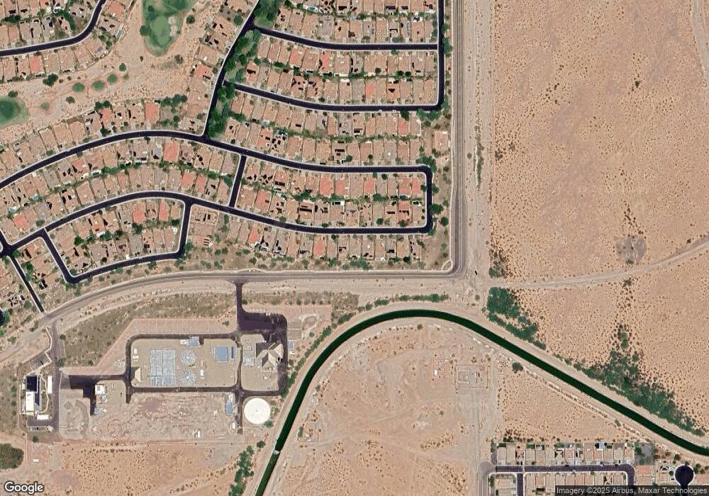
Map
Nearby Homes
- 12446 W Bajada Rd
- 12359 W Rosewood Ln
- 12335 W Rosewood Ln
- 12364 W Rosewood Ln
- 12448 W Rosewood Ln
- 12539 W Bajada Rd
- 12369 W Pinnacle Vista Dr
- 12242 W Rowel Rd
- 12629 W Bajada Rd
- 12379 W Hedge Hog Place
- 12110 W Rowel Rd
- 26747 N 127th Dr
- 26735 N 127th Dr
- 12467 W Gambit Trail
- 26216 N 120th Ln
- 12144 W Remuda Dr
- 26142 N 121st Ave
- 12827 W Maya Way
- 12439 W Yellow Bird Ln
- 12832 W Pinnacle Vista Dr
- 12397 W Maya Way
- 12344 W Maya Way
- 12377 W Maya Way
- 12407 W Maya Way
- 12367 W Maya Way
- 12417 W Maya Way
- 12394 W Maya Way
- 12357 W Maya Way
- 12382 W Maya Way
- 12406 W Maya Way
- 12370 W Maya Way
- 12347 W Maya Way
- 12418 W Maya Way
- 12427 W Maya Way
- 12358 W Maya Way
- 12337 W Maya Way
- 12346 W Maya Way
- 12428 W Maya Way
- 12397 W Bajada Rd
- 12437 W Maya Way