1238A N Broad St Unit 1238A Hillside, NJ 07205
Westminster NeighborhoodEstimated Value: $351,532 - $497,000
--
Bed
--
Bath
2,131
Sq Ft
$202/Sq Ft
Est. Value
About This Home
This home is located at 1238A N Broad St Unit 1238A, Hillside, NJ 07205 and is currently estimated at $429,633, approximately $201 per square foot. 1238A N Broad St Unit 1238A is a home located in Union County with nearby schools including Abram P. Morris-Saybrook Elementary School, Hurden Looker School, and Ola Edwards Community School.
Ownership History
Date
Name
Owned For
Owner Type
Purchase Details
Closed on
May 29, 2001
Sold by
Joseph Ronald
Bought by
Stevenson Shirley R
Current Estimated Value
Purchase Details
Closed on
Aug 26, 1999
Sold by
Rodrigues Jose and Rodrigues Paloma
Bought by
Joseph Ronald
Create a Home Valuation Report for This Property
The Home Valuation Report is an in-depth analysis detailing your home's value as well as a comparison with similar homes in the area
Home Values in the Area
Average Home Value in this Area
Purchase History
| Date | Buyer | Sale Price | Title Company |
|---|---|---|---|
| Stevenson Shirley R | $132,500 | -- | |
| Joseph Ronald | $114,000 | Colonial Title & Abstract Sv |
Source: Public Records
Tax History Compared to Growth
Tax History
| Year | Tax Paid | Tax Assessment Tax Assessment Total Assessment is a certain percentage of the fair market value that is determined by local assessors to be the total taxable value of land and additions on the property. | Land | Improvement |
|---|---|---|---|---|
| 2025 | $9,144 | $110,800 | $10,000 | $100,800 |
| 2024 | $8,878 | $110,800 | $10,000 | $100,800 |
| 2023 | $8,878 | $110,800 | $10,000 | $100,800 |
| 2022 | $8,796 | $110,800 | $10,000 | $100,800 |
| 2021 | $8,739 | $110,800 | $10,000 | $100,800 |
| 2020 | $8,688 | $110,800 | $10,000 | $100,800 |
| 2019 | $8,519 | $110,800 | $10,000 | $100,800 |
| 2018 | $8,434 | $110,800 | $10,000 | $100,800 |
| 2017 | $8,383 | $110,800 | $10,000 | $100,800 |
| 2016 | $8,373 | $110,800 | $10,000 | $100,800 |
| 2015 | $8,299 | $110,800 | $10,000 | $100,800 |
| 2014 | $8,168 | $110,800 | $10,000 | $100,800 |
Source: Public Records
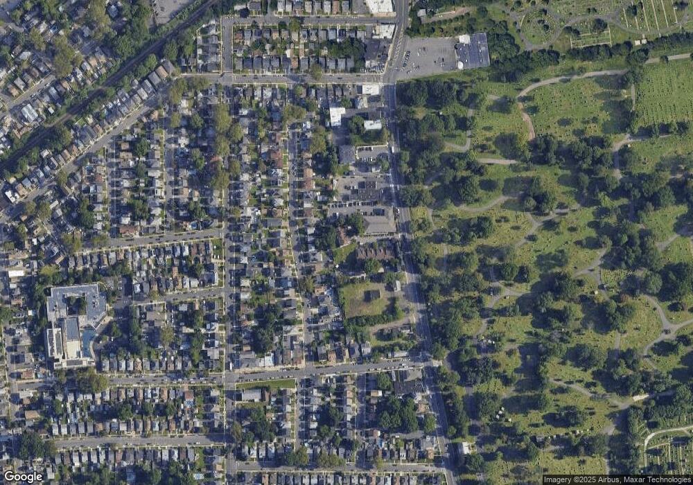
Map
Nearby Homes
- 1250 N Broad St Unit A1
- 15 Hollywood Ave
- 115 Hollywood Ave
- 1132 Church St
- 21 Looker St
- 157 Virginia St Unit 9
- 1444 N Broad St
- 1432 Lexington Place Unit 1434
- 1017 Salem Ave
- 1408 Lexington Place Unit 1410
- 221 Linwood Place
- 1349 Hamilton St
- 1282 Baker St
- 155 Silver Ave
- 910 Roanoke Ave
- 1317 Broadway
- 170 Windsor Way
- 167 Silver Ave
- 81 Wilder St
- 420 Hollywood Ave
- 1236B N Broad St
- 1236A N Broad St
- 1238B N Broad St
- 1240A N Broad St
- 1240 N Broad St
- 1240B N Broad St
- 1237 Robert St
- 1241 Robert St
- 1233 Robert St Unit 5
- 1233 Robert St Unit 2
- 1243 Robert St
- 1242B N Broad St
- 1242A N Broad St
- 1229 Robert St
- 1247 Robert St
- 1225 Robert St
- 1251 Robert St
- 1234A N Broad St
- 1234B N Broad St
- 1224 Robert St