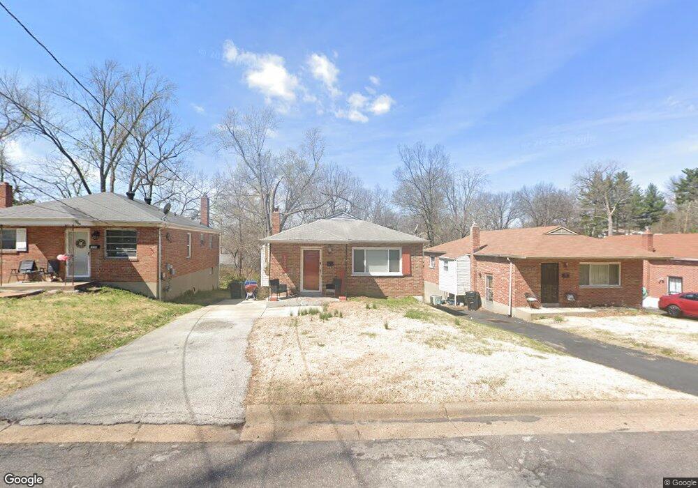
1239 Backer St Saint Louis, MO 63130
Estimated Value: $107,000 - $138,000
3
Beds
1
Bath
1,083
Sq Ft
$114/Sq Ft
Est. Value
About This Home
This home is located at 1239 Backer St, Saint Louis, MO 63130 and is currently estimated at $123,431, approximately $113 per square foot. 1239 Backer St is a home located in St. Louis County with nearby schools including Jackson Park Elementary School, Brittany Woods Middle School, and University City High School.
Ownership History
Date
Name
Owned For
Owner Type
Purchase Details
Closed on
Dec 5, 2007
Sold by
Nationscredit Financial Services Corp
Bought by
Guo Xiu Mei
Current Estimated Value
Purchase Details
Closed on
Nov 6, 2007
Sold by
Resurgent Capital Services Lp
Bought by
Nationscredit Financial Services Corp
Purchase Details
Closed on
Aug 25, 2006
Sold by
Thomas Shirley Ann and Thomas Clifford W
Bought by
Resurgent Capital Services Lp
Create a Home Valuation Report for This Property
The Home Valuation Report is an in-depth analysis detailing your home's value as well as a comparison with similar homes in the area
Home Values in the Area
Average Home Value in this Area
Purchase History
| Date | Buyer | Sale Price | Title Company |
|---|---|---|---|
| Guo Xiu Mei | $45,600 | None Available | |
| Nationscredit Financial Services Corp | $57,869 | None Available | |
| Resurgent Capital Services Lp | $20,000 | None Available |
Source: Public Records
Mortgage History
| Date | Status | Borrower | Loan Amount |
|---|---|---|---|
| Closed | Resurgent Capital Services Lp | -- |
Source: Public Records
Tax History Compared to Growth
Tax History
| Year | Tax Paid | Tax Assessment Tax Assessment Total Assessment is a certain percentage of the fair market value that is determined by local assessors to be the total taxable value of land and additions on the property. | Land | Improvement |
|---|---|---|---|---|
| 2025 | $1,439 | $24,050 | $6,590 | $17,460 |
| 2024 | $1,439 | $19,720 | $2,260 | $17,460 |
| 2023 | $1,437 | $19,720 | $2,260 | $17,460 |
| 2022 | $1,276 | $16,240 | $2,260 | $13,980 |
| 2021 | $1,263 | $16,240 | $2,260 | $13,980 |
| 2020 | $1,143 | $16,720 | $5,660 | $11,060 |
| 2019 | $1,320 | $16,720 | $5,660 | $11,060 |
| 2018 | $1,307 | $15,310 | $3,400 | $11,910 |
| 2017 | $1,310 | $15,310 | $3,400 | $11,910 |
| 2016 | $953 | $10,510 | $3,760 | $6,750 |
| 2015 | $957 | $10,510 | $3,760 | $6,750 |
| 2014 | $1,091 | $11,850 | $2,240 | $9,610 |
Source: Public Records
Map
Nearby Homes
- 1118 George St
- 1251 Waldron Ave
- 7171 White Oak Ln
- 7048 Raymond Ave
- 7055 Plymouth Ave
- 7039 Plymouth Ave
- 7012 Melrose Ave
- 7060 Canton Ave
- 1529 Nixon Ave
- 7315 Ahern Ave
- 7346 Canton Ave
- 7032 Canton Ave
- 1604 Quendo Ave
- 1101 W Parkedge Ln
- 6954 Plymouth Ave
- 7343 Drexel Dr
- 1105 Pennsylvania Ave
- 6934 Julian Ave
- 1077 N Jackson Ave
- 1085 Pennsylvania Ave