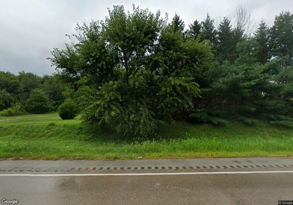
1239 E Us Highway 34 Earlville, IL 60518
Estimated Value: $306,000 - $346,000
--
Bed
--
Bath
1,560
Sq Ft
$211/Sq Ft
Est. Value
About This Home
This home is located at 1239 E Us Highway 34, Earlville, IL 60518 and is currently estimated at $329,449, approximately $211 per square foot. 1239 E Us Highway 34 is a home with nearby schools including Earlville Elementary School and Earlville Junior/Senior High School.
Ownership History
Date
Name
Owned For
Owner Type
Purchase Details
Closed on
Nov 13, 2015
Sold by
Laskowski Russell and Laskowski Mary
Bought by
Carico Leon P and Carico Terri L
Current Estimated Value
Home Financials for this Owner
Home Financials are based on the most recent Mortgage that was taken out on this home.
Original Mortgage
$187,550
Outstanding Balance
$147,266
Interest Rate
3.74%
Mortgage Type
New Conventional
Estimated Equity
$182,183
Create a Home Valuation Report for This Property
The Home Valuation Report is an in-depth analysis detailing your home's value as well as a comparison with similar homes in the area
Home Values in the Area
Average Home Value in this Area
Purchase History
| Date | Buyer | Sale Price | Title Company |
|---|---|---|---|
| Carico Leon P | $199,000 | -- |
Source: Public Records
Mortgage History
| Date | Status | Borrower | Loan Amount |
|---|---|---|---|
| Open | Carico Leon P | $187,550 |
Source: Public Records
Tax History Compared to Growth
Tax History
| Year | Tax Paid | Tax Assessment Tax Assessment Total Assessment is a certain percentage of the fair market value that is determined by local assessors to be the total taxable value of land and additions on the property. | Land | Improvement |
|---|---|---|---|---|
| 2024 | $6,281 | $90,146 | $20,880 | $69,266 |
| 2023 | $5,726 | $79,628 | $18,444 | $61,184 |
| 2022 | $5,253 | $71,396 | $16,537 | $54,859 |
| 2021 | $5,319 | $70,175 | $16,254 | $53,921 |
| 2020 | $5,127 | $68,072 | $15,767 | $52,305 |
| 2019 | $4,997 | $65,128 | $15,085 | $50,043 |
| 2018 | $5,676 | $72,083 | $14,506 | $57,577 |
| 2017 | $5,244 | $65,787 | $13,239 | $52,548 |
| 2016 | $4,479 | $55,896 | $6,786 | $49,110 |
| 2015 | $2,621 | $42,810 | $6,502 | $36,308 |
| 2012 | -- | $50,298 | $7,639 | $42,659 |
Source: Public Records
Map
Nearby Homes
- 4439 E 1251st Rd
- 4460 E 1251st Rd
- 4464 E 1251st Rd
- 1260 N 4469th Rd
- 4470 E 1251st Rd
- 1262 N 4469th Rd
- 1266 N 4469th Rd
- 1263 N 4469th Rd
- 4462 E 1251st Rd Unit 2
- 4462 E 1251st Rd Unit 15
- 4462 E 1251st Rd Unit LOT
- 4462 E 1251st Rd Unit 5
- 4462 E 1251st Rd
- 4462 E 1251st Rd Unit 20
- 4462 E 1251st Rd Unit 22
- 4462 E 1251st Rd Unit 26
- 918 S West St
- 1268 N 4469th Rd
- 1265 Sutphen Dr
- 1267 N 4469th Rd
