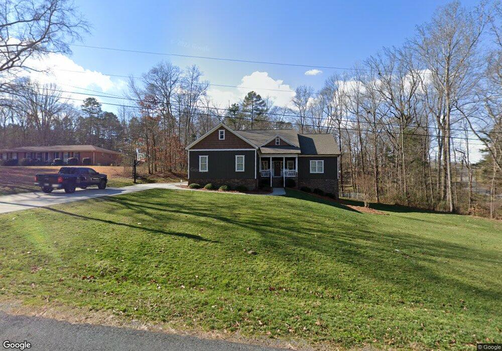
1239 Emerald Dr Concord, NC 28025
Estimated Value: $462,000 - $523,592
4
Beds
3
Baths
1,788
Sq Ft
$272/Sq Ft
Est. Value
About This Home
This home is located at 1239 Emerald Dr, Concord, NC 28025 and is currently estimated at $486,398, approximately $272 per square foot. 1239 Emerald Dr is a home with nearby schools including W.M. Irvin Elementary School, Mount Pleasant Middle School, and Mount Pleasant High School.
Ownership History
Date
Name
Owned For
Owner Type
Purchase Details
Closed on
Nov 19, 2009
Sold by
Russell Percy and Russell Nancy
Bought by
Little Clint and Little Misty
Current Estimated Value
Purchase Details
Closed on
Apr 15, 2002
Sold by
Russell Percy W and Russell Marie B
Bought by
Russell Percy W
Purchase Details
Closed on
Apr 1, 1990
Bought by
Russell Percy W and Wife Marie B
Create a Home Valuation Report for This Property
The Home Valuation Report is an in-depth analysis detailing your home's value as well as a comparison with similar homes in the area
Home Values in the Area
Average Home Value in this Area
Purchase History
| Date | Buyer | Sale Price | Title Company |
|---|---|---|---|
| Little Clint | $38,000 | None Available | |
| Russell Percy W | -- | -- | |
| Russell Percy W | $500 | -- |
Source: Public Records
Tax History
| Year | Tax Paid | Tax Assessment Tax Assessment Total Assessment is a certain percentage of the fair market value that is determined by local assessors to be the total taxable value of land and additions on the property. | Land | Improvement |
|---|---|---|---|---|
| 2025 | $3,347 | $510,170 | $60,600 | $449,570 |
| 2024 | $3,347 | $510,170 | $60,600 | $449,570 |
| 2023 | $2,373 | $289,340 | $35,650 | $253,690 |
| 2022 | $2,373 | $289,340 | $35,650 | $253,690 |
| 2021 | $2,315 | $289,340 | $35,650 | $253,690 |
| 2020 | $2,315 | $289,340 | $35,650 | $253,690 |
| 2019 | $2,005 | $250,670 | $32,080 | $218,590 |
| 2018 | $1,955 | $250,670 | $32,080 | $218,590 |
| 2017 | $1,901 | $250,190 | $32,080 | $218,110 |
| 2016 | $1,901 | $191,670 | $30,300 | $161,370 |
| 2015 | -- | $30,300 | $30,300 | $0 |
| 2014 | -- | $30,300 | $30,300 | $0 |
Source: Public Records
Map
Nearby Homes
- 1660 Songwood Rd
- 4025 Fringewood Dr
- 2120 Irish Potato Rd
- 1787 Saint Johns Church Rd
- 143 Kirkwood Dr
- 4165 Laurelwood Ct
- 3200 Van Tassel Dr
- 3251 Van Tassel Dr
- 3354 Westview Rd
- 2850 Irish Potato Rd
- 1104 Amigo Dr
- 265 Meadow Oaks Dr SE
- 886 Hess Rd
- 348 Pleasant View Ln SE
- 3178 Foxford Dr
- 3033 Feather St
- Lot 1 Patience Dr
- 1035 Brafford Dr
- 496 Majestic Ct SE
- 1223 Walker Rd
- 1175 Emerald Dr
- 1200 Emerald Dr
- 4000 Irish Woods Dr
- 1240 Emerald Dr
- 4049 Irish Woods Dr
- 1184 Irish Potato Rd
- 1288 Irish Potato Rd
- LOT 10 Irish Woods Dr
- 1115 Emerald Dr
- 1120 Emerald Dr
- 1122 Irish Potato Rd
- 4101 Irish Woods Dr
- 4119 Irish Woods Dr
- 1080 Irish Potato Rd
- 1100 Emerald Dr
- 1065 Emerald Dr
- 4039 Mills Cir
- 1020 Irish Potato Rd
- 1209 Irish Potato Rd
- 4139 Irish Woods Dr
Your Personal Tour Guide
Ask me questions while you tour the home.