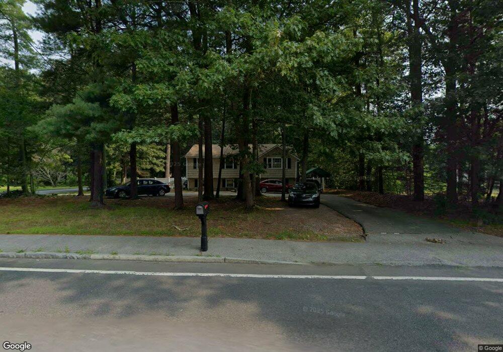
1239 Hanover St Unit 1239 Hanover, MA 02339
Estimated Value: $573,000 - $677,000
3
Beds
1
Bath
1,144
Sq Ft
$533/Sq Ft
Est. Value
About This Home
This home is located at 1239 Hanover St Unit 1239, Hanover, MA 02339 and is currently estimated at $609,724, approximately $532 per square foot. 1239 Hanover St Unit 1239 is a home located in Plymouth County with nearby schools including Hanover High School and Calvary Chapel Academy.
Ownership History
Date
Name
Owned For
Owner Type
Purchase Details
Closed on
Jun 30, 2005
Sold by
Baldyga Nellie A and Burke Karen M
Bought by
Brugnoli Anthony E
Current Estimated Value
Home Financials for this Owner
Home Financials are based on the most recent Mortgage that was taken out on this home.
Original Mortgage
$250,000
Outstanding Balance
$131,093
Interest Rate
5.73%
Mortgage Type
Purchase Money Mortgage
Estimated Equity
$478,631
Purchase Details
Closed on
Dec 7, 1987
Sold by
Okerfelt James D
Bought by
Baldyga Nellie A
Create a Home Valuation Report for This Property
The Home Valuation Report is an in-depth analysis detailing your home's value as well as a comparison with similar homes in the area
Home Values in the Area
Average Home Value in this Area
Purchase History
| Date | Buyer | Sale Price | Title Company |
|---|---|---|---|
| Brugnoli Anthony E | $250,000 | -- | |
| Baldyga Nellie A | $157,000 | -- |
Source: Public Records
Mortgage History
| Date | Status | Borrower | Loan Amount |
|---|---|---|---|
| Open | Baldyga Nellie A | $250,000 |
Source: Public Records
Tax History Compared to Growth
Tax History
| Year | Tax Paid | Tax Assessment Tax Assessment Total Assessment is a certain percentage of the fair market value that is determined by local assessors to be the total taxable value of land and additions on the property. | Land | Improvement |
|---|---|---|---|---|
| 2025 | $6,965 | $564,000 | $269,400 | $294,600 |
| 2024 | $6,972 | $543,000 | $269,400 | $273,600 |
| 2023 | $6,915 | $512,600 | $244,900 | $267,700 |
| 2022 | $6,942 | $455,200 | $232,700 | $222,500 |
| 2021 | $6,312 | $386,500 | $189,200 | $197,300 |
| 2020 | $6,429 | $394,200 | $200,300 | $193,900 |
| 2019 | $6,013 | $366,400 | $200,300 | $166,100 |
| 2018 | $6,011 | $369,200 | $200,300 | $168,900 |
| 2017 | $5,727 | $346,700 | $199,000 | $147,700 |
| 2016 | $5,542 | $328,700 | $181,000 | $147,700 |
| 2015 | $4,633 | $286,900 | $167,600 | $119,300 |
Source: Public Records
Map
Nearby Homes
- 1239 Hanover St
- 1253 Hanover St
- 1236 Hanover St
- 33 Pine Island Rd
- 22 Pine Island Rd
- 1213 Hanover St
- 1256 Hanover St
- 45 Pine Island Rd
- 1212 Hanover St
- 1186 Hanover St
- 32 Pine Island Rd
- 1203 Hanover St
- 1267 Hanover St
- 44 Pine Island Rd
- 57 Pine Island Rd
- 1195 Hanover St
- 56 Pine Island Rd
- 1187 Hanover St
- 1184 Hanover St
- 1177 Hanover St