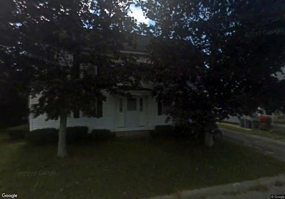
1239 Main St Unit 365A Tewksbury, MA 01876
Estimated Value: $389,200 - $445,000
2
Beds
1
Bath
1,022
Sq Ft
$412/Sq Ft
Est. Value
About This Home
This home is located at 1239 Main St Unit 365A, Tewksbury, MA 01876 and is currently estimated at $420,800, approximately $411 per square foot. 1239 Main St Unit 365A is a home located in Middlesex County.
Ownership History
Date
Name
Owned For
Owner Type
Purchase Details
Closed on
Aug 25, 2014
Sold by
Dufresne Laurie A
Bought by
Currie Deborah A
Current Estimated Value
Home Financials for this Owner
Home Financials are based on the most recent Mortgage that was taken out on this home.
Original Mortgage
$139,200
Outstanding Balance
$106,567
Interest Rate
4.14%
Mortgage Type
New Conventional
Estimated Equity
$314,233
Purchase Details
Closed on
Jan 25, 2002
Sold by
Salvaggio Glen R and Salvaggio Chatherine M
Bought by
Dufresne Laurie A
Home Financials for this Owner
Home Financials are based on the most recent Mortgage that was taken out on this home.
Original Mortgage
$152,000
Interest Rate
7.08%
Mortgage Type
Purchase Money Mortgage
Create a Home Valuation Report for This Property
The Home Valuation Report is an in-depth analysis detailing your home's value as well as a comparison with similar homes in the area
Home Values in the Area
Average Home Value in this Area
Purchase History
| Date | Buyer | Sale Price | Title Company |
|---|---|---|---|
| Currie Deborah A | $174,000 | -- | |
| Dufresne Laurie A | $160,000 | -- |
Source: Public Records
Mortgage History
| Date | Status | Borrower | Loan Amount |
|---|---|---|---|
| Open | Currie Deborah A | $139,200 | |
| Previous Owner | Dufresne Laurie A | $15,000 | |
| Previous Owner | Dufresne Laurie A | $152,000 |
Source: Public Records
Tax History Compared to Growth
Tax History
| Year | Tax Paid | Tax Assessment Tax Assessment Total Assessment is a certain percentage of the fair market value that is determined by local assessors to be the total taxable value of land and additions on the property. | Land | Improvement |
|---|---|---|---|---|
| 2025 | $4,544 | $343,700 | $0 | $343,700 |
| 2024 | $4,397 | $328,400 | $0 | $328,400 |
| 2023 | $4,212 | $298,700 | $0 | $298,700 |
| 2022 | $4,119 | $271,000 | $0 | $271,000 |
| 2021 | $4,034 | $256,600 | $0 | $256,600 |
| 2020 | $4,005 | $250,800 | $0 | $250,800 |
| 2019 | $3,493 | $220,500 | $0 | $220,500 |
| 2018 | $3,292 | $204,100 | $0 | $204,100 |
| 2017 | $2,761 | $169,300 | $0 | $169,300 |
| 2016 | $2,621 | $160,300 | $0 | $160,300 |
| 2015 | $2,542 | $155,300 | $0 | $155,300 |
| 2014 | $2,299 | $142,700 | $0 | $142,700 |
Source: Public Records
Map
Nearby Homes
- 12 Hillcrest Rd
- 1325 Main
- 11 Orchard St
- 20 Sophie Ruth Way
- 61 Patrick Rd
- 43 Patrick Rd
- 13 Berkeley
- 1418 Main St Unit 201
- 1455 Main St Unit 8
- 172 Patrick Rd
- 18 Newton Ave
- 9 Tomahawk Dr
- 1117 Emerald Ct
- 1224 Emerald Ct
- 910 Livingston St
- 900 Livingston St
- 14 Hinckley Rd
- 97 Kendall Rd
- 15 Pinewood Rd
- 101 Squire Ln
- 1239 Main St Unit 371
- 1239 Main St Unit 369
- 1239 Main St Unit 367
- 1239 Main St Unit 365B
- 371 Chandler St
- 371 Chandler St Unit 371
- 367 Chandler St Unit A
- 367 Chandler St Unit 367
- 365B Chandler St Unit B
- 365A Chandler St Unit A, 365
- 365A Chandler St Unit 365A
- 381 Chandler St
- 1229 Main St
- 3 Jay St
- 5 Jay St
- 387 Chandler St
- 7 Jay St
- 1269 Main St
- 1234 Main St
- 4 Jay St