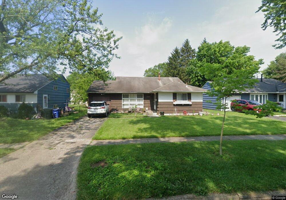
1239 Manfeld Dr Columbus, OH 43227
Shady Lane NeighborhoodEstimated Value: $206,804 - $244,000
3
Beds
2
Baths
1,483
Sq Ft
$154/Sq Ft
Est. Value
About This Home
This home is located at 1239 Manfeld Dr, Columbus, OH 43227 and is currently estimated at $228,451, approximately $154 per square foot. 1239 Manfeld Dr is a home located in Franklin County with nearby schools including Shady Lane Elementary School, Sherwood Middle School, and Walnut Ridge High School.
Ownership History
Date
Name
Owned For
Owner Type
Purchase Details
Closed on
Apr 14, 1998
Sold by
Martinez Gilbert A Tr
Bought by
Platonova Ekaterina
Current Estimated Value
Home Financials for this Owner
Home Financials are based on the most recent Mortgage that was taken out on this home.
Original Mortgage
$74,355
Outstanding Balance
$14,325
Interest Rate
7.27%
Mortgage Type
FHA
Estimated Equity
$214,126
Create a Home Valuation Report for This Property
The Home Valuation Report is an in-depth analysis detailing your home's value as well as a comparison with similar homes in the area
Home Values in the Area
Average Home Value in this Area
Purchase History
| Date | Buyer | Sale Price | Title Company |
|---|---|---|---|
| Platonova Ekaterina | $74,500 | Transohio Title |
Source: Public Records
Mortgage History
| Date | Status | Borrower | Loan Amount |
|---|---|---|---|
| Open | Platonova Ekaterina | $74,355 |
Source: Public Records
Tax History Compared to Growth
Tax History
| Year | Tax Paid | Tax Assessment Tax Assessment Total Assessment is a certain percentage of the fair market value that is determined by local assessors to be the total taxable value of land and additions on the property. | Land | Improvement |
|---|---|---|---|---|
| 2024 | $2,702 | $57,370 | $16,140 | $41,230 |
| 2023 | $2,596 | $57,365 | $16,135 | $41,230 |
| 2022 | $3,310 | $30,140 | $6,060 | $24,080 |
| 2021 | $1,605 | $30,140 | $6,060 | $24,080 |
| 2020 | $1,607 | $30,140 | $6,060 | $24,080 |
| 2019 | $1,510 | $24,290 | $4,830 | $19,460 |
| 2018 | $1,461 | $24,290 | $4,830 | $19,460 |
| 2017 | $1,510 | $24,290 | $4,830 | $19,460 |
| 2016 | $1,585 | $22,860 | $5,010 | $17,850 |
| 2015 | $1,414 | $22,860 | $5,010 | $17,850 |
| 2014 | $1,417 | $22,860 | $5,010 | $17,850 |
| 2013 | $822 | $26,880 | $5,880 | $21,000 |
Source: Public Records
Map
Nearby Homes
- 1130 Little Plum Ln
- 4991 Justin Rd
- 1320 Nancy Ln
- 1486 Efner Dr
- 4677 E Livingston Ave
- 4501 Amesbury Rd
- 1281 Maetzel Dr
- 4484 Grimsby Rd
- 931 Antwerp Rd
- 4571 Aragon Ave
- 1607 Shady Lane Rd
- 4701 Janis Dr
- 4467 Grimsby Rd
- 1678 Huxley Dr
- 1563 Genoa Place
- 1085 S Hamilton Rd
- 1120 Fairway Blvd
- 1607 Simpson Dr
- 1068 Ross Rd
- 1571 Baxter Dr
- 1233 Manfeld Dr
- 1249 Manfeld Dr
- 1236 Country Club Rd
- 1255 Manfeld Dr
- 1244 Country Club Rd
- 1228 Country Club Rd
- 1221 Manfeld Dr
- 4881 Teddy Dr
- 1252 Country Club Rd
- 4902 Andrew Rd
- 1263 Manfeld Dr
- 1234 Manfeld Dr
- 1218 Country Club Rd
- 4899 Andrew Rd
- 1260 Country Club Rd
- 4909 Teddy Dr
- 1271 Manfeld Dr
- 1270 Manfeld Dr
- 4914 Andrew Rd
- 1268 Country Club Rd