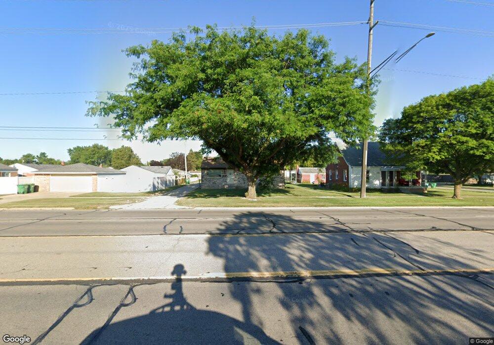
1239 Middlebelt Rd Garden City, MI 48135
Estimated Value: $195,000 - $239,653
3
Beds
1
Bath
1,170
Sq Ft
$189/Sq Ft
Est. Value
About This Home
This home is located at 1239 Middlebelt Rd, Garden City, MI 48135 and is currently estimated at $221,163, approximately $189 per square foot. 1239 Middlebelt Rd is a home located in Wayne County with nearby schools including Memorial Elementary 1-2 Campus, Douglas Elementary 3-4 Campus, and Farmington 5-6 Campus.
Ownership History
Date
Name
Owned For
Owner Type
Purchase Details
Closed on
Oct 25, 2011
Sold by
Smith Kenneth
Bought by
Smith Michael
Current Estimated Value
Purchase Details
Closed on
Nov 11, 2008
Sold by
Mortgage Electronic Registration Systems
Bought by
Federal National Mortgage Association
Purchase Details
Closed on
Jul 30, 2008
Sold by
Lindstrom Jon and Lindstrom Nicole
Bought by
Mortgage Electronic Registration Systems
Purchase Details
Closed on
Aug 31, 2005
Sold by
Casada Michael Lee and Casada Cynthia J
Bought by
Bank Of New York and Cwabs 2004-01
Purchase Details
Closed on
Apr 13, 1998
Sold by
Br Beverly A and Br Michael
Bought by
Casada Cynthia J
Create a Home Valuation Report for This Property
The Home Valuation Report is an in-depth analysis detailing your home's value as well as a comparison with similar homes in the area
Home Values in the Area
Average Home Value in this Area
Purchase History
| Date | Buyer | Sale Price | Title Company |
|---|---|---|---|
| Smith Michael | -- | None Available | |
| Federal National Mortgage Association | -- | None Available | |
| Mortgage Electronic Registration Systems | $133,077 | None Available | |
| Bank Of New York | $128,609 | None Available | |
| Casada Cynthia J | $71,000 | -- |
Source: Public Records
Tax History Compared to Growth
Tax History
| Year | Tax Paid | Tax Assessment Tax Assessment Total Assessment is a certain percentage of the fair market value that is determined by local assessors to be the total taxable value of land and additions on the property. | Land | Improvement |
|---|---|---|---|---|
| 2025 | $3,255 | $128,500 | $0 | $0 |
| 2024 | $3,255 | $117,700 | $0 | $0 |
| 2023 | $3,109 | $105,800 | $0 | $0 |
| 2022 | $3,478 | $89,600 | $0 | $0 |
| 2021 | $3,402 | $83,300 | $0 | $0 |
| 2020 | $3,408 | $79,000 | $0 | $0 |
| 2019 | $2,803 | $73,400 | $0 | $0 |
| 2018 | $2,489 | $61,700 | $0 | $0 |
| 2017 | $797 | $59,000 | $0 | $0 |
| 2016 | $2,799 | $56,700 | $0 | $0 |
| 2015 | $5,051 | $55,600 | $0 | $0 |
| 2013 | $4,410 | $45,100 | $0 | $0 |
| 2012 | $3,334 | $47,500 | $11,200 | $36,300 |
Source: Public Records
Map
Nearby Homes
- 29578 Brown Ct
- 29699 Brown Ct
- 29404 Meadow Ln Unit 1
- 1125 Brandt St
- 0000 Brandt St
- 29159 Sheridan St
- 29031 Rosslyn Ave
- 157 Middlebelt Rd
- 29487 Florence St
- 577 Brandt St
- 28649 John Hauk St
- 28524 Barton St
- 28530 John Hauk St
- 1147 Harrison St
- 5689 Brandt St
- 28783 Leona St
- 28315 Sheridan St
- 28432 Alvin St
- 489 Henry Ruff Rd
- 29825 Dawson St
- 1253 Middlebelt Rd
- 29426 Brown Ct
- 29438 Brown Ct
- 29452 Brown Ct
- 29455 Hennepin St
- 29466 Brown Ct
- 29416 Brown Ct
- 1515 Middlebelt Rd
- 29476 Brown Ct
- 29511 Hennepin St
- 1529 Middlebelt Rd
- 29425 Brown Ct
- 29488 Brown Ct
- 29435 Brown Ct
- 29411 Brown Ct
- 29533 Hennepin St
- 29510 Brown Ct
- 29516 Hennepin St
- 29463 Brown Ct
- 29458 Hennepin St