1239 Nestle Trail Unit 1 Lawrenceville, GA 30045
Estimated Value: $376,000 - $415,000
3
Beds
2
Baths
2,447
Sq Ft
$159/Sq Ft
Est. Value
About This Home
This home is located at 1239 Nestle Trail Unit 1, Lawrenceville, GA 30045 and is currently estimated at $389,600, approximately $159 per square foot. 1239 Nestle Trail Unit 1 is a home located in Gwinnett County with nearby schools including Lovin Elementary School, McConnell Middle School, and Archer High School.
Ownership History
Date
Name
Owned For
Owner Type
Purchase Details
Closed on
Aug 29, 2001
Sold by
Heritage Land & Dev Co
Bought by
Bhak Sarah H
Current Estimated Value
Home Financials for this Owner
Home Financials are based on the most recent Mortgage that was taken out on this home.
Original Mortgage
$147,150
Outstanding Balance
$56,048
Interest Rate
6.98%
Mortgage Type
New Conventional
Estimated Equity
$333,552
Create a Home Valuation Report for This Property
The Home Valuation Report is an in-depth analysis detailing your home's value as well as a comparison with similar homes in the area
Home Values in the Area
Average Home Value in this Area
Purchase History
| Date | Buyer | Sale Price | Title Company |
|---|---|---|---|
| Bhak Sarah H | $154,900 | -- |
Source: Public Records
Mortgage History
| Date | Status | Borrower | Loan Amount |
|---|---|---|---|
| Open | Bhak Sarah H | $147,150 |
Source: Public Records
Tax History Compared to Growth
Tax History
| Year | Tax Paid | Tax Assessment Tax Assessment Total Assessment is a certain percentage of the fair market value that is determined by local assessors to be the total taxable value of land and additions on the property. | Land | Improvement |
|---|---|---|---|---|
| 2025 | $1,085 | $154,480 | $30,000 | $124,480 |
| 2024 | -- | $145,080 | $30,000 | $115,080 |
| 2023 | $3,530 | $143,160 | $28,800 | $114,360 |
| 2022 | $3,752 | $132,200 | $28,800 | $103,400 |
| 2021 | $3,048 | $96,080 | $19,200 | $76,880 |
| 2020 | $2,722 | $80,000 | $14,400 | $65,600 |
| 2019 | $2,648 | $80,000 | $14,400 | $65,600 |
| 2018 | $2,485 | $80,000 | $14,400 | $65,600 |
| 2016 | $2,376 | $66,440 | $14,400 | $52,040 |
| 2015 | $2,317 | $62,840 | $10,800 | $52,040 |
| 2014 | -- | $62,840 | $10,800 | $52,040 |
Source: Public Records
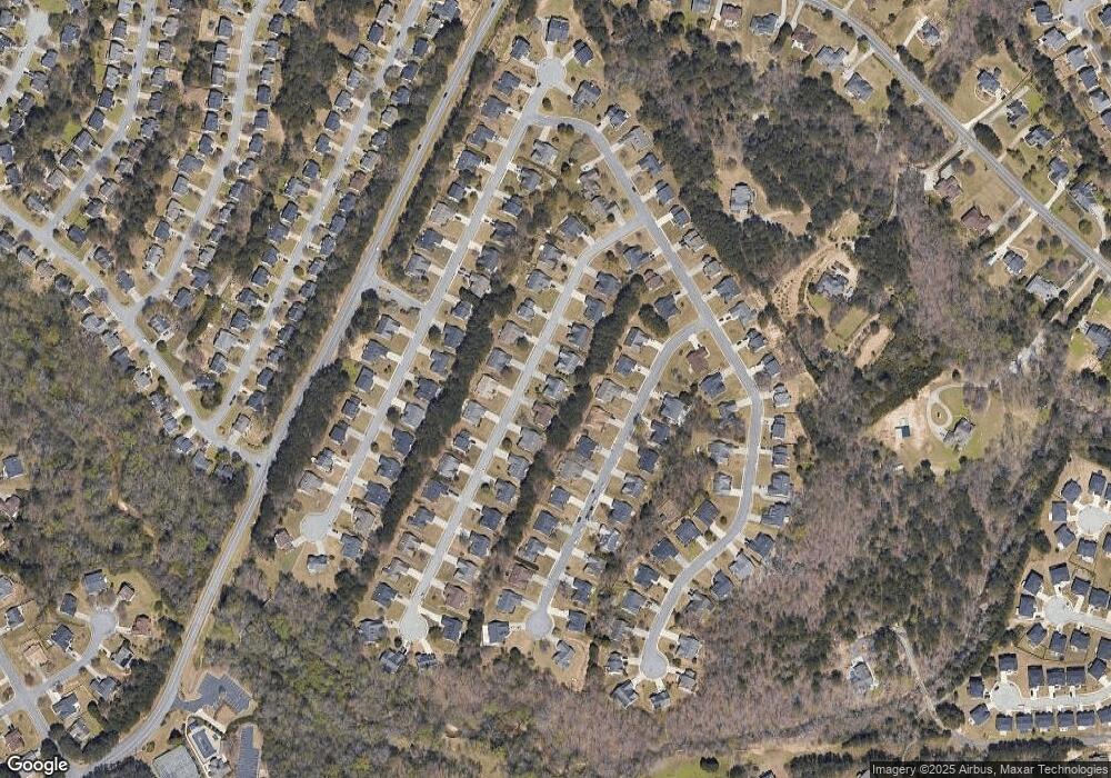
Map
Nearby Homes
- 829 Overlook Path Ln
- 616 Simon Ive Dr
- 1847 Shaker Falls Ln
- 1212 Ashton Park Dr
- 1142 Ashton Park Dr
- 1026 Autumn Blaze Ln
- 1044 Simonton Hill Ct
- 705 Allens Landing Dr
- 1083 Spruce Creek Ln
- 919 Madison Trace Ct
- 530 Simonton Crest Dr Unit 1
- 922 Madison Trace Ct
- 597 Paper Mill Rd
- 830 Dunagan Forest Dr Unit 1
- 370 Cedarhurst Rd
- 585 Chapel Walk Ln
- 835 Madison Chase Way
- 1069 Georgian Point Dr
- 1054 Georgian Point Dr
- 415 Madison Chase Dr
- 1229 Nestle Trail
- 1249 Nestle Trail Unit 1
- 1259 Nestle Trail SE
- 984 Natural Brook Trail
- 994 Natural Brook Trail
- 994 Natural Brook Trail Unit 2
- 1219 Nestle Trail
- 1259 Nestle Trail
- 974 Natural Brook Trail
- 1230 Nestle Trail Unit 33
- 1230 Nestle Trail
- 1004 Natural Brook Trail
- 1240 Nestle Trail
- 1220 Nestle Trail Unit 1
- 964 Natural Brook Trail SE
- 1209 Nestle Trail
- 1269 Nestle Trail Unit 1
- 1210 Nestle Trail
- 1250 Nestle Trail
- 1014 Natural Brook Trail