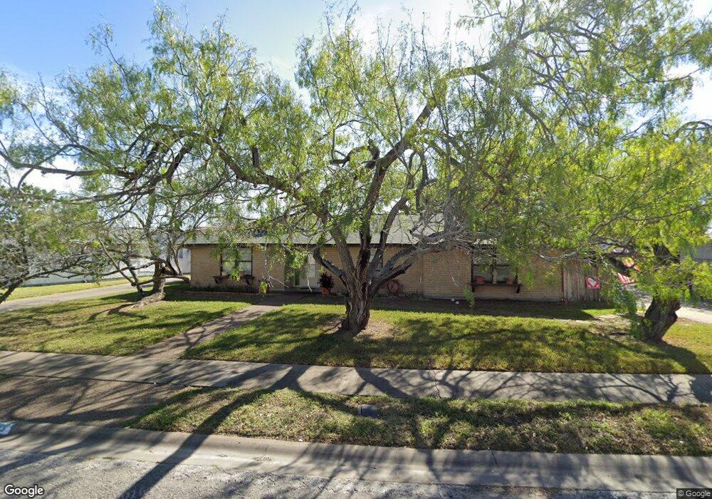
1239 Nile Dr Unit 1R LTS Corpus Christi, TX 78412
Bay Area NeighborhoodEstimated Value: $185,353
--
Bed
4
Baths
3,888
Sq Ft
$48/Sq Ft
Est. Value
About This Home
This home is located at 1239 Nile Dr Unit 1R LTS, Corpus Christi, TX 78412 and is currently estimated at $185,353, approximately $47 per square foot. 1239 Nile Dr Unit 1R LTS is a home located in Nueces County with nearby schools including Woodlawn Elementary School, Haas Middle School, and King High School.
Ownership History
Date
Name
Owned For
Owner Type
Purchase Details
Closed on
Oct 1, 2018
Sold by
Colmenro Armilda B and Estate Of Jack A Colmenro
Bought by
Hatami Fardy Farshid and Hatami Fardy Alyeh Azali
Current Estimated Value
Home Financials for this Owner
Home Financials are based on the most recent Mortgage that was taken out on this home.
Original Mortgage
$108,000
Outstanding Balance
$94,182
Interest Rate
4.5%
Mortgage Type
Commercial
Estimated Equity
$91,171
Create a Home Valuation Report for This Property
The Home Valuation Report is an in-depth analysis detailing your home's value as well as a comparison with similar homes in the area
Home Values in the Area
Average Home Value in this Area
Purchase History
| Date | Buyer | Sale Price | Title Company |
|---|---|---|---|
| Hatami Fardy Farshid | -- | First Title Company |
Source: Public Records
Mortgage History
| Date | Status | Borrower | Loan Amount |
|---|---|---|---|
| Open | Hatami Fardy Farshid | $108,000 |
Source: Public Records
Tax History Compared to Growth
Tax History
| Year | Tax Paid | Tax Assessment Tax Assessment Total Assessment is a certain percentage of the fair market value that is determined by local assessors to be the total taxable value of land and additions on the property. | Land | Improvement |
|---|---|---|---|---|
| 2025 | $3,645 | $241,882 | $53,880 | $188,002 |
| 2024 | $3,645 | $167,609 | $0 | $0 |
| 2023 | $2,977 | $139,674 | $53,880 | $85,794 |
| 2022 | $3,475 | $139,674 | $53,880 | $85,794 |
| 2021 | $3,601 | $137,729 | $53,880 | $83,849 |
| 2020 | $3,844 | $146,682 | $53,880 | $92,802 |
| 2019 | $3,878 | $146,682 | $53,880 | $92,802 |
| 2018 | $4,297 | $169,712 | $53,880 | $115,832 |
| 2017 | $4,285 | $169,712 | $53,880 | $115,832 |
| 2016 | $4,285 | $169,712 | $53,880 | $115,832 |
| 2015 | $4,130 | $162,372 | $14,944 | $147,428 |
| 2014 | $4,130 | $162,372 | $14,944 | $147,428 |
Source: Public Records
Map
Nearby Homes
- 6845 Aswan Dr
- 1301 Easthaven Dr
- 1317 Easthaven Dr
- 1021 Nile Dr
- 7034 Hathor Dr
- 18 Townhouse Ln
- 47 Townhouse Ln
- 7110 Pharaoh Dr
- 88 Townhouse Ln
- 6622 Sahara Dr
- 1218 Arnold Dr
- 101 Townhouse Ln
- 933 Egyptian Dr
- 15 Rock Creek Dr
- 1011 Ennis Joslin Rd Unit 137
- 1011 Ennis Joslin Rd Unit 224
- 1011 Ennis Joslin Rd Unit 235
- 6922 Yukon Dr
- 845 Egyptian Dr
- 938 Woodlawn Dr