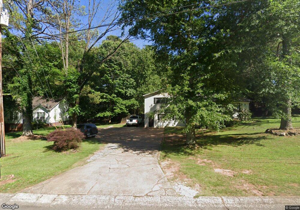
1239 W Wylie Bridge Rd Woodstock, GA 30188
Estimated Value: $340,000 - $366,138
3
Beds
2
Baths
1,430
Sq Ft
$247/Sq Ft
Est. Value
About This Home
This home is located at 1239 W Wylie Bridge Rd, Woodstock, GA 30188 and is currently estimated at $353,069, approximately $246 per square foot. 1239 W Wylie Bridge Rd is a home located in Cherokee County with nearby schools including Little River Elementary, Mill Creek Middle School, and River Ridge High School.
Ownership History
Date
Name
Owned For
Owner Type
Purchase Details
Closed on
Oct 25, 2018
Sold by
Chavez Hilario
Bought by
Green Homes 4 Rent Inc
Current Estimated Value
Purchase Details
Closed on
Nov 4, 1998
Sold by
West Lee A and West Cheryl A
Bought by
Chavez Hilario and Chavez Celestina
Home Financials for this Owner
Home Financials are based on the most recent Mortgage that was taken out on this home.
Original Mortgage
$94,750
Interest Rate
6.47%
Create a Home Valuation Report for This Property
The Home Valuation Report is an in-depth analysis detailing your home's value as well as a comparison with similar homes in the area
Home Values in the Area
Average Home Value in this Area
Purchase History
| Date | Buyer | Sale Price | Title Company |
|---|---|---|---|
| Green Homes 4 Rent Inc | $168,000 | -- | |
| Chavez Hilario | $99,800 | -- |
Source: Public Records
Mortgage History
| Date | Status | Borrower | Loan Amount |
|---|---|---|---|
| Previous Owner | Chavez Hilario | $94,750 |
Source: Public Records
Tax History Compared to Growth
Tax History
| Year | Tax Paid | Tax Assessment Tax Assessment Total Assessment is a certain percentage of the fair market value that is determined by local assessors to be the total taxable value of land and additions on the property. | Land | Improvement |
|---|---|---|---|---|
| 2025 | $3,500 | $133,296 | $34,000 | $99,296 |
| 2024 | $2,916 | $112,216 | $27,600 | $84,616 |
| 2023 | $2,747 | $105,696 | $27,600 | $78,096 |
| 2022 | $2,526 | $96,096 | $26,000 | $70,096 |
| 2021 | $2,293 | $80,776 | $18,000 | $62,776 |
| 2020 | $2,082 | $73,256 | $15,200 | $58,056 |
| 2019 | $1,853 | $65,200 | $15,200 | $50,000 |
| 2018 | $1,682 | $58,840 | $15,200 | $43,640 |
| 2017 | $1,388 | $136,800 | $12,800 | $41,920 |
| 2016 | $1,388 | $125,000 | $10,800 | $39,200 |
| 2015 | $1,378 | $122,900 | $10,800 | $38,360 |
| 2014 | $1,238 | $110,800 | $10,800 | $33,520 |
Source: Public Records
Map
Nearby Homes
- 1237 W Wylie Bridge Rd
- 154 Pioneer Dr
- 152 Pioneer Dr
- 1240 W Wylie Bridge Rd
- 312 Colony Springs Ct
- 313 Colony Springs Ct
- 150 Pioneer Dr
- 104 Colony Springs Cir
- 102 Colony Springs Cir
- 1242 W Wylie Bridge Rd
- 339 Pioneer Cir
- 326 Pioneer Cir
- 148 Pioneer Dr
- 310 Colony Springs Ct Unit 1
- 155 Pioneer Dr
- 153 Pioneer Dr
- 311 Colony Springs Ct
- 1244 W Wylie Bridge Rd
- 105 Colony Springs Cir Unit I
- 308 Colony Springs Ct Unit 1