12392 E Highway 25 Ocklawaha, FL 32179
Estimated Value: $944,000 - $1,373,000
4
Beds
4
Baths
1,829
Sq Ft
$606/Sq Ft
Est. Value
About This Home
This home is located at 12392 E Highway 25, Ocklawaha, FL 32179 and is currently estimated at $1,107,497, approximately $605 per square foot. 12392 E Highway 25 is a home located in Marion County with nearby schools including Stanton-Weirsdale Elementary School, Lake Weir Middle School, and Lake Weir High School.
Ownership History
Date
Name
Owned For
Owner Type
Purchase Details
Closed on
May 28, 2021
Sold by
Browder Dorothy Jane and Browder Debra
Bought by
Farrell Edward J and Farrell Patricia W
Current Estimated Value
Purchase Details
Closed on
Dec 14, 2001
Sold by
Gree Suzanne Vawter
Bought by
Farrell Edward J and Farrell Patricia W
Home Financials for this Owner
Home Financials are based on the most recent Mortgage that was taken out on this home.
Original Mortgage
$460,000
Interest Rate
6.49%
Mortgage Type
Balloon
Create a Home Valuation Report for This Property
The Home Valuation Report is an in-depth analysis detailing your home's value as well as a comparison with similar homes in the area
Home Values in the Area
Average Home Value in this Area
Purchase History
| Date | Buyer | Sale Price | Title Company |
|---|---|---|---|
| Farrell Edward J | $575,000 | Affiliated Ttl Of Ctrl Fl Lt | |
| Farrell Edward J | $460,000 | First American Title Ins Co |
Source: Public Records
Mortgage History
| Date | Status | Borrower | Loan Amount |
|---|---|---|---|
| Previous Owner | Farrell Edward J | $460,000 |
Source: Public Records
Tax History
| Year | Tax Paid | Tax Assessment Tax Assessment Total Assessment is a certain percentage of the fair market value that is determined by local assessors to be the total taxable value of land and additions on the property. | Land | Improvement |
|---|---|---|---|---|
| 2025 | $7,904 | $521,161 | -- | -- |
| 2024 | $7,598 | $506,473 | -- | -- |
| 2023 | $7,422 | $491,721 | $0 | $0 |
| 2022 | $7,234 | $477,399 | $0 | $0 |
| 2021 | $7,089 | $454,035 | $0 | $0 |
| 2020 | $7,039 | $447,766 | $0 | $0 |
| 2019 | $6,908 | $435,377 | $0 | $0 |
| 2018 | $6,327 | $414,471 | $0 | $0 |
| 2017 | $6,062 | $396,566 | $0 | $0 |
| 2016 | $5,995 | $388,409 | $0 | $0 |
| 2015 | $6,050 | $385,709 | $0 | $0 |
| 2014 | $5,691 | $382,648 | $0 | $0 |
Source: Public Records
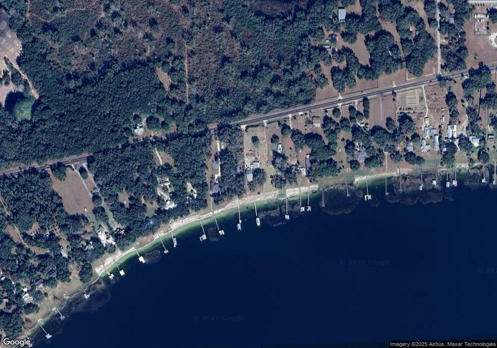
Map
Nearby Homes
- 12360 E Highway 25
- 12336 E Highway 25
- 12730 E Highway 25
- 12750 SE 119th Ct
- 12351 SE Highway 464
- TBD SE Hwy 464
- 12905 SE 117th Ct
- 0 SE 129th Ct
- 3450 SE Highway 464
- 11640 SE 129th Place
- TBD SE 122nd Place
- 11585 SE 129th Ln
- 12825 SE 115th Ave
- 11821 SE 123rd Ave
- 13400 SE 124 Place
- 11495 SE 121st Lane Rd
- 11701 SE Highway 464
- 11372 E Highway 25
- 12275 SE 113th Terrace
- 0 Bay Unit MFRC7520935
- 12420 E Highway 25
- 12450 E Highway 25
- 12464 E Highway 25
- 12508 E Highway 25
- 12504 E Highway 25
- 12270 E Highway 25
- 12498 E Highway 25
- 12250 E Highway 25
- 12550 Sr-25
- 12550 E Highway 25
- 12550 Cr Hwy 25
- 12251 E Highway 25
- 12552 E Highway 25
- 12251 County Road 25
- 12560 E Highway 25
- 12210 E Highway 25
- 0 SE 123rd Ave
- 12499 E Highway 25
- 12190 E Highway 25
- 12554 E Highway 25
Your Personal Tour Guide
Ask me questions while you tour the home.