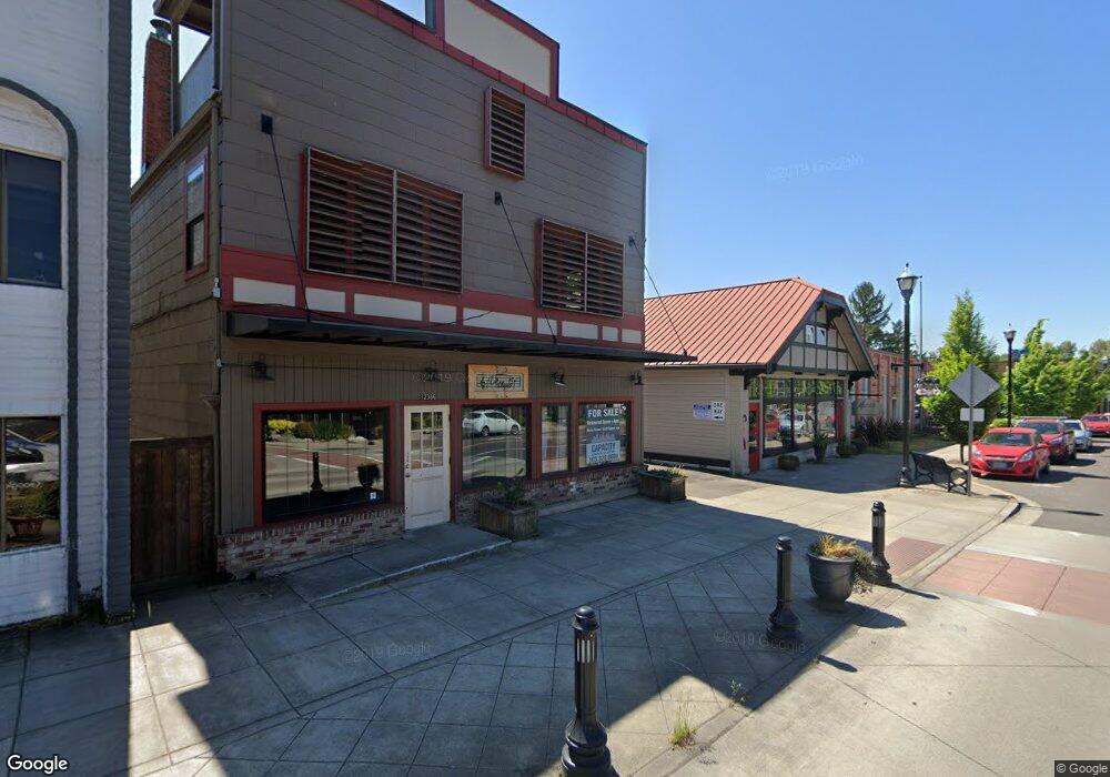
12394 SW Main St Tigard, OR 97223
Downtown Tigard NeighborhoodEstimated Value: $704,523
--
Bed
--
Bath
5,565
Sq Ft
$127/Sq Ft
Est. Value
About This Home
This home is located at 12394 SW Main St, Tigard, OR 97223 and is currently priced at $704,523, approximately $126 per square foot. 12394 SW Main St is a home located in Washington County with nearby schools including Durham Elementary School, Thomas R. Fowler Middle School, and Tigard High School.
Ownership History
Date
Name
Owned For
Owner Type
Purchase Details
Closed on
Feb 1, 2023
Sold by
Wine Robert S
Bought by
Wine Dennis J
Current Estimated Value
Purchase Details
Closed on
Mar 25, 2021
Sold by
Dwac Inc
Bought by
Wine Robert S
Home Financials for this Owner
Home Financials are based on the most recent Mortgage that was taken out on this home.
Original Mortgage
$340,000
Interest Rate
2.73%
Mortgage Type
Future Advance Clause Open End Mortgage
Create a Home Valuation Report for This Property
The Home Valuation Report is an in-depth analysis detailing your home's value as well as a comparison with similar homes in the area
Home Values in the Area
Average Home Value in this Area
Purchase History
| Date | Buyer | Sale Price | Title Company |
|---|---|---|---|
| Wine Dennis J | $196,000 | -- | |
| Wine Robert S | $640,000 | Ticor Title Company Of Or |
Source: Public Records
Mortgage History
| Date | Status | Borrower | Loan Amount |
|---|---|---|---|
| Previous Owner | Wine Robert S | $340,000 |
Source: Public Records
Tax History Compared to Growth
Tax History
| Year | Tax Paid | Tax Assessment Tax Assessment Total Assessment is a certain percentage of the fair market value that is determined by local assessors to be the total taxable value of land and additions on the property. | Land | Improvement |
|---|---|---|---|---|
| 2025 | $5,881 | $344,930 | -- | -- |
| 2024 | $5,723 | $334,890 | -- | -- |
| 2023 | $5,723 | $325,140 | $0 | $0 |
| 2022 | $5,559 | $325,140 | $0 | $0 |
| 2021 | $5,419 | $306,480 | $0 | $0 |
| 2020 | $5,256 | $297,560 | $0 | $0 |
| 2019 | $5,029 | $288,900 | $0 | $0 |
| 2018 | $4,825 | $280,490 | $0 | $0 |
| 2017 | $4,651 | $272,330 | $0 | $0 |
| 2016 | $4,441 | $264,400 | $0 | $0 |
| 2015 | $4,269 | $256,700 | $0 | $0 |
| 2014 | $4,142 | $249,230 | $0 | $0 |
Source: Public Records
Map
Nearby Homes
- 11790 SW 90th Ave
- 12300 SW Knoll Dr
- 11600 SW 91st Ave
- 10060 SW Molly Ct
- 10097 SW Woodard Ln
- 13235 SW Ash Dr
- 12065 SW Karol Ct
- 11355 SW 97th Ct
- 9096 SW Omara St
- 11215 SW Hall Blvd
- 11185 SW Hall Blvd
- 10455 SW Meadow St
- 9270 SW Edgewood St
- 13682 SW Hall Blvd Unit 3
- 12230 SW 106th Dr
- 11044 SW Greenburg Rd Unit 321
- 8826 SW Spruce St
- 13979 SW 95th Ave
- 0 SW McDonald St Unit 24040062
- 11220 SW Buffalo Place
- 12380 SW Main St Unit 2
- 12360 SW Main St Unit 2
- 2564 SW Main St
- 12260 SW Main St
- 9230 SW Burnham St
- 12265 SW Main St
- 12230 SW Main St
- 12525 SW Main St
- 9210 SW Center St
- 9210 SW Center St
- 9210 SW Center St
- 9210 SW Center St
- 9210 SW Center St
- 9210 SW Center St
- 9210 SW Center St
- 11645 SW Pacific Hwy
- 9045 SW Burnham St
- 9045 SW Burnham St
- 12550 SW Main St
- 8905 SW Commercial St