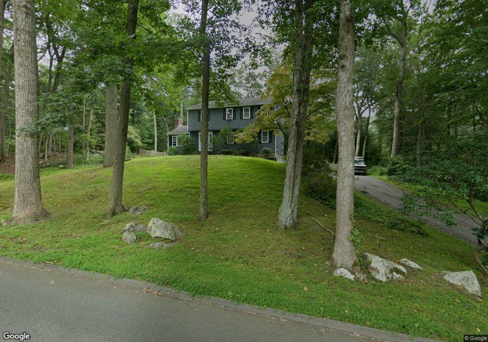
124 Airline Rd Clinton, CT 06413
Estimated Value: $482,625 - $563,000
4
Beds
7
Baths
2,100
Sq Ft
$251/Sq Ft
Est. Value
About This Home
This home is located at 124 Airline Rd, Clinton, CT 06413 and is currently estimated at $527,406, approximately $251 per square foot. 124 Airline Rd is a home located in Middlesex County with nearby schools including Lewin G. Joel Jr. School, The Morgan School, and Our Lady of Mercy Preparatory Academy.
Ownership History
Date
Name
Owned For
Owner Type
Purchase Details
Closed on
Oct 15, 2009
Sold by
Buess Susanne
Bought by
Lamonaca Frank and Lamonaca Amanda
Current Estimated Value
Home Financials for this Owner
Home Financials are based on the most recent Mortgage that was taken out on this home.
Original Mortgage
$274,725
Outstanding Balance
$179,940
Interest Rate
5.14%
Estimated Equity
$347,466
Purchase Details
Closed on
Sep 24, 1999
Sold by
Shea Brendan T and Shea Kathy K
Bought by
Buess William G and Buess Susanne M
Purchase Details
Closed on
Jul 25, 1994
Sold by
Sweet Donald C and Sweet Doris C
Bought by
Shea Brendan T and Shea Kathy K
Create a Home Valuation Report for This Property
The Home Valuation Report is an in-depth analysis detailing your home's value as well as a comparison with similar homes in the area
Home Values in the Area
Average Home Value in this Area
Purchase History
| Date | Buyer | Sale Price | Title Company |
|---|---|---|---|
| Lamonaca Frank | $300,000 | -- | |
| Lamonaca Frank | $300,000 | -- | |
| Buess William G | $204,000 | -- | |
| Buess William G | $204,000 | -- | |
| Shea Brendan T | $172,000 | -- | |
| Shea Brendan T | $172,000 | -- |
Source: Public Records
Mortgage History
| Date | Status | Borrower | Loan Amount |
|---|---|---|---|
| Open | Shea Brendan T | $274,725 | |
| Closed | Shea Brendan T | $274,725 |
Source: Public Records
Tax History Compared to Growth
Tax History
| Year | Tax Paid | Tax Assessment Tax Assessment Total Assessment is a certain percentage of the fair market value that is determined by local assessors to be the total taxable value of land and additions on the property. | Land | Improvement |
|---|---|---|---|---|
| 2025 | $5,994 | $192,500 | $49,600 | $142,900 |
| 2024 | $5,825 | $192,500 | $49,600 | $142,900 |
| 2023 | $5,742 | $192,500 | $49,600 | $142,900 |
| 2022 | $5,742 | $192,500 | $49,600 | $142,900 |
| 2021 | $5,292 | $177,400 | $49,600 | $127,800 |
| 2020 | $5,544 | $177,400 | $49,600 | $127,800 |
| 2019 | $5,544 | $177,400 | $49,600 | $127,800 |
| 2018 | $5,418 | $177,400 | $49,600 | $127,800 |
| 2017 | $5,306 | $177,400 | $49,600 | $127,800 |
| 2016 | $4,815 | $177,400 | $49,600 | $127,800 |
| 2015 | $5,234 | $195,500 | $55,100 | $140,400 |
| 2014 | $5,136 | $195,500 | $55,100 | $140,400 |
Source: Public Records
Map
Nearby Homes
- 5 Kings Grant Rd
- 73 Airline Rd
- 14 Blaine Ave
- 19 W Shore Dr
- 131 Cow Hill Rd
- 4 Van Dyke Ln
- 246 Cow Hill Rd
- 3 Medley Ln
- 3 Jamaica Rd
- 4 Columbia Rd
- 15 Egypt Ln
- 13 Longview Terrace
- 92 Scotland Rd Unit Lot. 3
- 16 Forest Hills Dr
- 11 Silver Birch Ln
- 248 Cow Hill Rd
- 0 Skytop Dr
- 28 Aylesbury Cir Unit 28
- 1 Downing Way Unit 1
- 43 Evergreen Park