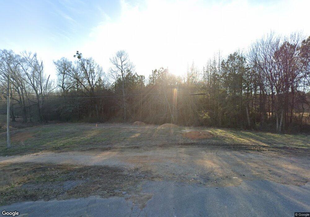
124 Anthony Dr NE Calhoun, GA 30701
Estimated Value: $181,524 - $227,000
3
Beds
2
Baths
1,161
Sq Ft
$181/Sq Ft
Est. Value
About This Home
This home is located at 124 Anthony Dr NE, Calhoun, GA 30701 and is currently estimated at $210,131, approximately $180 per square foot. 124 Anthony Dr NE is a home located in Gordon County with nearby schools including Red Bud Elementary School, Red Bud Middle School, and Sonoraville High School.
Ownership History
Date
Name
Owned For
Owner Type
Purchase Details
Closed on
Mar 11, 2016
Sold by
Walraven Dwight L
Bought by
Moore Gregory Z
Current Estimated Value
Home Financials for this Owner
Home Financials are based on the most recent Mortgage that was taken out on this home.
Original Mortgage
$81,965
Outstanding Balance
$64,875
Interest Rate
3.65%
Mortgage Type
New Conventional
Estimated Equity
$145,256
Purchase Details
Closed on
May 8, 1979
Bought by
Walraven Dwight L
Create a Home Valuation Report for This Property
The Home Valuation Report is an in-depth analysis detailing your home's value as well as a comparison with similar homes in the area
Home Values in the Area
Average Home Value in this Area
Purchase History
| Date | Buyer | Sale Price | Title Company |
|---|---|---|---|
| Moore Gregory Z | $84,500 | -- | |
| Walraven Dwight L | -- | -- |
Source: Public Records
Mortgage History
| Date | Status | Borrower | Loan Amount |
|---|---|---|---|
| Open | Moore Gregory Z | $81,965 |
Source: Public Records
Tax History Compared to Growth
Tax History
| Year | Tax Paid | Tax Assessment Tax Assessment Total Assessment is a certain percentage of the fair market value that is determined by local assessors to be the total taxable value of land and additions on the property. | Land | Improvement |
|---|---|---|---|---|
| 2024 | $1,238 | $48,720 | $4,200 | $44,520 |
| 2023 | $1,157 | $45,560 | $4,200 | $41,360 |
| 2022 | $1,152 | $42,640 | $4,200 | $38,440 |
| 2021 | $970 | $34,640 | $4,200 | $30,440 |
| 2020 | $917 | $32,000 | $4,200 | $27,800 |
| 2019 | $955 | $33,160 | $4,200 | $28,960 |
| 2018 | $889 | $30,880 | $4,200 | $26,680 |
| 2017 | $868 | $29,280 | $4,200 | $25,080 |
| 2016 | $810 | $29,280 | $4,200 | $25,080 |
| 2015 | $861 | $28,720 | $4,200 | $24,520 |
| 2014 | $804 | $27,608 | $4,200 | $23,408 |
Source: Public Records
Map
Nearby Homes
- 624 Newtown Creek Loop NE
- 121 Sunset Dr NE
- 311 Benstone Ddr NE
- 0 Newtown Rd NE Unit 7019675
- 332 Newtown Rd NE
- 110 Vogel St
- 0 Redwood St Unit 7563377
- 0 Redwood St Unit 10553706
- 130 Red Oak Ln
- 2148 Red Bud Rd NE
- 218 Newtown Rd
- 403 S Sequoyah Cir NE
- 126 Summerfield Ln NE
- 102 Sycamore Ln
- 114 Sycamore Ln
- 111 Sycamore Ln
- 113 Sycamore Ln
- 116 Sycamore Ln
- 136 Anthony Dr NE
- 110 Anthony Dr NE
- 122 Mitchell St NE
- 133 Anthony Dr NE
- 0 Anthony Ave NE Unit 3223415
- 150 Mitchell St NE
- 144 Anthony Dr NE
- 112 Mitchell St NE
- 915 Newtown Rd NE
- 925 Newtown Rd NE
- 154 Anthony Dr NE
- 149 Anthony Dr NE
- 149 Anthony Dr NE
- 899 Newtown Rd NE
- 935 Newtown Rd NE
- 121 Mitchell St NE
- 143 Mitchell St NE
- 123 Mitchell St NE
- 945 Newtown Rd NE
- 111 Mitchell St NE
