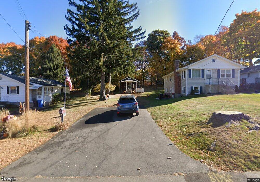
124 Barnes St New Britain, CT 06052
Estimated Value: $213,635 - $268,000
2
Beds
1
Bath
640
Sq Ft
$374/Sq Ft
Est. Value
About This Home
This home is located at 124 Barnes St, New Britain, CT 06052 and is currently estimated at $239,159, approximately $373 per square foot. 124 Barnes St is a home located in Hartford County with nearby schools including Lincoln School, Slade Middle School, and Mountain Laurel Sudbury School.
Ownership History
Date
Name
Owned For
Owner Type
Purchase Details
Closed on
Sep 27, 2022
Sold by
Taricani John D and Taricani Sandralee
Bought by
Ferguson Melissa
Current Estimated Value
Purchase Details
Closed on
Jun 22, 1994
Sold by
Lamontagne Marcel R
Bought by
Taricani John D and Taricani Sandra Lee
Home Financials for this Owner
Home Financials are based on the most recent Mortgage that was taken out on this home.
Original Mortgage
$50,000
Interest Rate
6%
Mortgage Type
Unknown
Create a Home Valuation Report for This Property
The Home Valuation Report is an in-depth analysis detailing your home's value as well as a comparison with similar homes in the area
Home Values in the Area
Average Home Value in this Area
Purchase History
| Date | Buyer | Sale Price | Title Company |
|---|---|---|---|
| Ferguson Melissa | -- | None Available | |
| Taricani John D | $50,000 | -- |
Source: Public Records
Mortgage History
| Date | Status | Borrower | Loan Amount |
|---|---|---|---|
| Previous Owner | Taricani John D | $20,000 | |
| Previous Owner | Taricani John D | $50,000 |
Source: Public Records
Tax History
| Year | Tax Paid | Tax Assessment Tax Assessment Total Assessment is a certain percentage of the fair market value that is determined by local assessors to be the total taxable value of land and additions on the property. | Land | Improvement |
|---|---|---|---|---|
| 2025 | $3,703 | $94,500 | $50,190 | $44,310 |
| 2024 | $3,741 | $94,500 | $50,190 | $44,310 |
| 2023 | $3,617 | $94,500 | $50,190 | $44,310 |
| 2022 | $2,803 | $56,630 | $23,100 | $33,530 |
| 2021 | $2,803 | $56,630 | $23,100 | $33,530 |
| 2020 | $2,779 | $55,020 | $23,100 | $31,920 |
| 2019 | $2,779 | $55,020 | $23,100 | $31,920 |
| 2018 | $2,779 | $55,020 | $23,100 | $31,920 |
| 2017 | $2,648 | $52,430 | $23,590 | $28,840 |
| 2016 | $2,648 | $52,430 | $23,590 | $28,840 |
| 2015 | $2,569 | $52,430 | $23,590 | $28,840 |
| 2014 | $2,569 | $52,430 | $23,590 | $28,840 |
Source: Public Records
Map
Nearby Homes
- 55 Dogwood Dr
- 21 May St
- 33 Colt St
- 8 Hickory Hill Rd
- 121 S Mountain Dr
- 29 S Mountain Dr
- 134 Russwin Rd
- 19 Wakefield Ct
- 7 Ledyard Rd
- 36 N Mountain Rd Unit D
- 168 Black Rock Ave
- 18 Woodruff Ct
- 38 W End Ave
- 156 Reservoir Rd
- 32 Garden St
- 54 Fairlane Dr
- 37 Richard St
- 139 Lincoln St
- 112 Lincoln St
- 368 Reservoir Rd
Your Personal Tour Guide
Ask me questions while you tour the home.