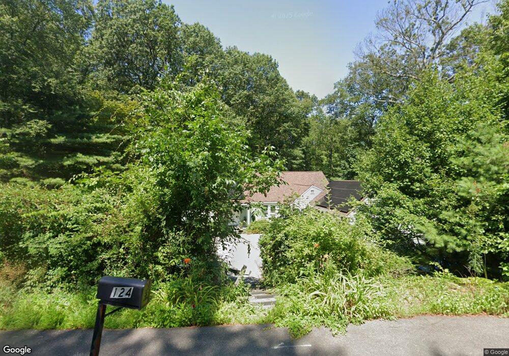
124 Bedford Rd Lincoln, MA 01773
Estimated Value: $924,000 - $1,190,000
4
Beds
2
Baths
1,988
Sq Ft
$546/Sq Ft
Est. Value
About This Home
This home is located at 124 Bedford Rd, Lincoln, MA 01773 and is currently estimated at $1,086,176, approximately $546 per square foot. 124 Bedford Rd is a home located in Middlesex County with nearby schools including Lincoln-Sudbury Regional High School, Tremont School, and Concord Academy.
Ownership History
Date
Name
Owned For
Owner Type
Purchase Details
Closed on
Nov 15, 2022
Sold by
Eliot Christopher R and Stuart Patricia L
Bought by
Eliot Stuart Ft and Stuart
Current Estimated Value
Purchase Details
Closed on
Dec 15, 2010
Sold by
Spaeth Margaret A Est and Spaeth
Bought by
Eliot Christopher R and Stuart Patricia L
Home Financials for this Owner
Home Financials are based on the most recent Mortgage that was taken out on this home.
Original Mortgage
$340,000
Interest Rate
4.23%
Mortgage Type
Purchase Money Mortgage
Create a Home Valuation Report for This Property
The Home Valuation Report is an in-depth analysis detailing your home's value as well as a comparison with similar homes in the area
Home Values in the Area
Average Home Value in this Area
Purchase History
| Date | Buyer | Sale Price | Title Company |
|---|---|---|---|
| Eliot Stuart Ft | -- | None Available | |
| Eliot Christopher R | $527,000 | -- |
Source: Public Records
Mortgage History
| Date | Status | Borrower | Loan Amount |
|---|---|---|---|
| Previous Owner | Eliot Christopher R | $340,000 |
Source: Public Records
Tax History Compared to Growth
Tax History
| Year | Tax Paid | Tax Assessment Tax Assessment Total Assessment is a certain percentage of the fair market value that is determined by local assessors to be the total taxable value of land and additions on the property. | Land | Improvement |
|---|---|---|---|---|
| 2025 | $118 | $921,800 | $593,200 | $328,600 |
| 2024 | $11,707 | $908,200 | $581,500 | $326,700 |
| 2023 | $11,588 | $832,500 | $547,300 | $285,200 |
| 2022 | $11,106 | $743,900 | $496,000 | $247,900 |
| 2021 | $6,771 | $660,300 | $427,600 | $232,700 |
| 2020 | $6,501 | $642,300 | $434,400 | $207,900 |
| 2019 | $5,920 | $622,300 | $420,100 | $202,200 |
| 2018 | $8,463 | $622,300 | $420,100 | $202,200 |
| 2017 | $5,444 | $606,100 | $407,700 | $198,400 |
| 2016 | $8,479 | $606,100 | $407,700 | $198,400 |
| 2015 | $7,589 | $536,300 | $345,500 | $190,800 |
| 2014 | $7,188 | $498,800 | $309,900 | $188,900 |
Source: Public Records
Map
Nearby Homes
- 16 Old Cambridge Turnpike
- 22 Old Cambridge Turnpike
- 29 S Commons Unit D
- 5 South Commons Unit D
- 36 Indian Camp Ln Unit D
- 9 Garland Rd
- 10 Reiling Pond Rd
- 241 Shadyside Ave
- 84 Davison Dr
- 646 Cambridge Turnpike
- 22 Lincoln Rd
- 69 Page Rd
- 60 Baker Bridge Rd
- 8 Stratford Way
- 44 Baker Bridge Rd
- 19 Conant Rd
- 88 Winter St
- 16 Hatch Farm Ln
- 10 Hatch Farm Ln
- 28 Hatch Farm Ln
- 128 Bedford Rd
- 127 Bedford Rd
- 123 Bedford Rd
- 132 Bedford Rd
- 134 Bedford Rd
- 134 Bedford Rd Unit O
- 133 Bedford Rd
- 4 Tracey's Corner
- 4 Traceys Corner
- 124 Cambridge Turnpike
- 124 Cambridge Turnpike Unit 1
- 2 Juniper Ridge Rd
- 2 Tracey's Corner
- 118 Cambridge Turnpike
- 16 Juniper Ridge Rd
- 135 Bedford Rd
- 125 Cambridge Turnpike
- 24 Juniper Ridge Rd
- 12 Juniper Ridge Rd
- 18 Juniper Ridge Rd