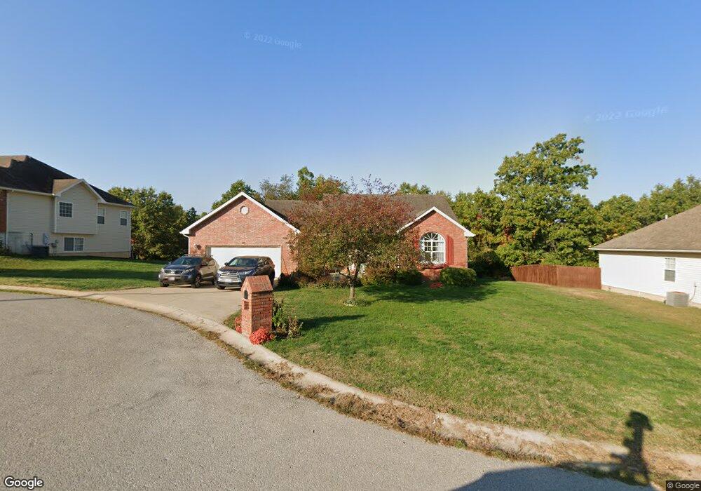
124 Birch Tree Saint Robert, MO 65584
Estimated Value: $238,000 - $317,000
Studio
1
Bath
1,839
Sq Ft
$145/Sq Ft
Est. Value
About This Home
This home is located at 124 Birch Tree, Saint Robert, MO 65584 and is currently estimated at $266,722, approximately $145 per square foot. 124 Birch Tree is a home located in Pulaski County with nearby schools including Freedom Elementary School, Waynesville East Elementary School, and Waynesville Sixth Grade Center.
Ownership History
Date
Name
Owned For
Owner Type
Purchase Details
Closed on
Feb 14, 2020
Bought by
Hanson Jacob and Hanson Renee L
Current Estimated Value
Purchase Details
Closed on
Nov 16, 2005
Sold by
Hickory Valley Group Llc
Bought by
Gray Charles B and Gray Olivia S
Home Financials for this Owner
Home Financials are based on the most recent Mortgage that was taken out on this home.
Original Mortgage
$178,761
Interest Rate
6.06%
Mortgage Type
VA
Create a Home Valuation Report for This Property
The Home Valuation Report is an in-depth analysis detailing your home's value as well as a comparison with similar homes in the area
Home Values in the Area
Average Home Value in this Area
Purchase History
| Date | Buyer | Sale Price | Title Company |
|---|---|---|---|
| Hanson Jacob | -- | -- | |
| Gray Charles B | -- | None Available |
Source: Public Records
Mortgage History
| Date | Status | Borrower | Loan Amount |
|---|---|---|---|
| Previous Owner | Gray Charles B | $178,761 |
Source: Public Records
Tax History
| Year | Tax Paid | Tax Assessment Tax Assessment Total Assessment is a certain percentage of the fair market value that is determined by local assessors to be the total taxable value of land and additions on the property. | Land | Improvement |
|---|---|---|---|---|
| 2025 | $1,261 | $35,800 | $7,364 | $28,436 |
| 2024 | $13 | $31,988 | $6,137 | $25,851 |
| 2023 | $1,228 | $31,988 | $6,137 | $25,851 |
| 2022 | $1,219 | $31,988 | $6,137 | $25,851 |
| 2021 | $1,204 | $31,988 | $6,137 | $25,851 |
| 2020 | $1,384 | $36,047 | $0 | $0 |
| 2019 | $1,384 | $35,815 | $0 | $0 |
| 2018 | $1,383 | $35,815 | $0 | $0 |
| 2017 | $1,382 | $36,060 | $0 | $0 |
| 2016 | $1,311 | $35,820 | $0 | $0 |
| 2015 | $1,306 | $35,820 | $0 | $0 |
| 2014 | $1,302 | $35,820 | $0 | $0 |
Source: Public Records
Map
Nearby Homes
- 126 Hickory Valley Rd
- 105 Hillcrest Ct
- 14197 Hopi Rd
- 14275 Happy Dr
- 142 Hickory Ridge Dr
- 103 Hickory Valley Rd
- 14135 Hopi Ln
- 21195 Highway 28
- 14505 Harvey Dr
- 000 Holloway Ln
- 0 Holloway Ln
- 13705 Hawksbill Dr
- 21987 Teak Ln
- 000 Hank Ln
- 13446 Highway Z
- 20675 Harris Ln
- 14040 Howard Ln
- 20305 Harlequin Ln
- 23105 Triple Ln
- 20585 Highway 28
- 124 Birchtree Cir
- 126 Birch Tree
- 126 Birchtree Cir
- 122 Birch Tree
- 128 Birch Tree
- 120 Birch Tree
- 120 Birchtree Cir
- 129 Birch Tree
- 125 Birch Tree
- 127 Birch Tree
- 131 Birch Tree
- 123 Birch Tree
- 118 Birch Tree
- 127 Birchtree Cir
- 129 Birchtree Cir
- 130 Birchtree Cir
- 130 Birch Tree
- 123 Birchtree Cir
- 133 Birch Tree
- 116 Birch Tree
Your Personal Tour Guide
Ask me questions while you tour the home.