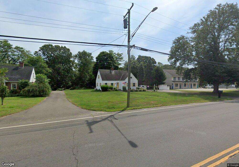
124 Boston Post Rd Old Saybrook, CT 06475
Estimated Value: $520,000 - $587,000
3
Beds
2
Baths
1,696
Sq Ft
$325/Sq Ft
Est. Value
About This Home
This home is located at 124 Boston Post Rd, Old Saybrook, CT 06475 and is currently estimated at $551,025, approximately $324 per square foot. 124 Boston Post Rd is a home located in Middlesex County with nearby schools including Kathleen E. Goodwin School, Old Saybrook Middle School, and Old Saybrook Senior High School.
Ownership History
Date
Name
Owned For
Owner Type
Purchase Details
Closed on
Feb 21, 2017
Sold by
Clark Robert
Bought by
Clark Robert and Fox Clark Paula T
Current Estimated Value
Purchase Details
Closed on
Jul 21, 2005
Sold by
Atherton Geraldine
Bought by
Clark Robert
Home Financials for this Owner
Home Financials are based on the most recent Mortgage that was taken out on this home.
Original Mortgage
$240,000
Interest Rate
5.59%
Create a Home Valuation Report for This Property
The Home Valuation Report is an in-depth analysis detailing your home's value as well as a comparison with similar homes in the area
Home Values in the Area
Average Home Value in this Area
Purchase History
| Date | Buyer | Sale Price | Title Company |
|---|---|---|---|
| Clark Robert | -- | -- | |
| Clark Robert | $300,000 | -- |
Source: Public Records
Mortgage History
| Date | Status | Borrower | Loan Amount |
|---|---|---|---|
| Previous Owner | Clark Robert | $225,000 | |
| Previous Owner | Clark Robert | $237,000 | |
| Previous Owner | Clark Robert | $240,000 |
Source: Public Records
Tax History Compared to Growth
Tax History
| Year | Tax Paid | Tax Assessment Tax Assessment Total Assessment is a certain percentage of the fair market value that is determined by local assessors to be the total taxable value of land and additions on the property. | Land | Improvement |
|---|---|---|---|---|
| 2025 | $4,369 | $281,900 | $59,200 | $222,700 |
| 2024 | $4,285 | $281,900 | $59,200 | $222,700 |
| 2023 | $3,873 | $189,400 | $49,600 | $139,800 |
| 2022 | $3,803 | $189,400 | $49,600 | $139,800 |
| 2021 | $3,797 | $189,400 | $49,600 | $139,800 |
| 2020 | $3,797 | $189,400 | $49,600 | $139,800 |
| 2019 | $3,741 | $189,400 | $49,600 | $139,800 |
| 2018 | $3,773 | $192,500 | $46,700 | $145,800 |
| 2017 | $3,785 | $192,500 | $46,700 | $145,800 |
| 2016 | $3,708 | $192,500 | $46,700 | $145,800 |
| 2015 | $3,621 | $192,500 | $46,700 | $145,800 |
| 2014 | $3,561 | $192,500 | $46,700 | $145,800 |
Source: Public Records
Map
Nearby Homes
- 5 Sunrise Ave
- 175 Ferry Rd Unit 3
- 227 Essex Rd
- 396 Middlesex Turnpike
- 12 Rocky Point Rd
- 40-A Ayers Point Rd
- 62-14,15,16 Middlesex Turnpike
- 96 Ayers Point Rd
- 11 Trolley Crossing
- 117 Ayers Point Rd
- 100 Dudley Ave Unit D20
- 100 Dudley Ave Unit H43
- 312 Ferry Rd
- 125 Main St
- 20 Saltus Dr
- 11 Neck Rd
- 74 Ferry Rd
- 1 & 3 Neck Rd
- 6 Lieutenant River Ln
- 175 N Cove Rd
- 134 Boston Post Rd
- 134 Boston Post Rd Unit 2
- 112 Boston Post Rd
- 98 Boston Post Rd
- 131 Boston Post Rd
- 131 Boston Post Rd
- 131 Boston Post Rd
- 92 Boston Post Rd
- 141 Boston Post Rd
- 165 Boston Post Rd
- 200 Boston Post Rd
- 61 Springbrook Rd
- 60 Boston Post Rd
- 8 Cliff Dr
- 18 Boston Post Rd
- 6 Cliff Dr
- 10 Cliff Dr
- 4 Cliff Dr
- 2 Briarcliffe Trail
- 71 Springbrook Rd