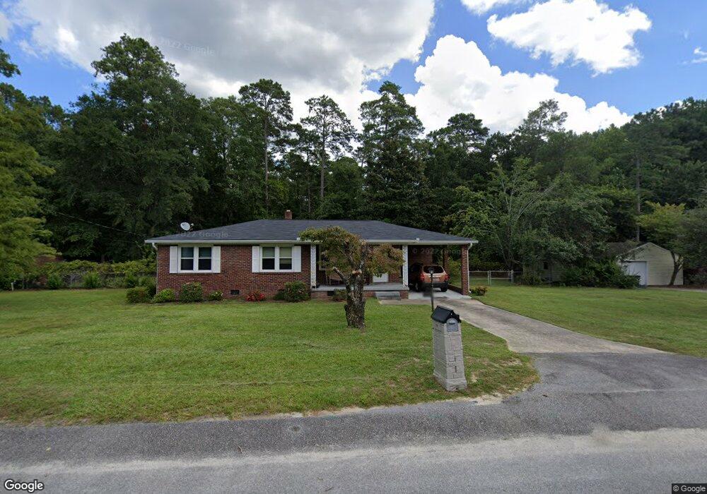
124 Burlie Dr West Columbia, SC 29169
Estimated Value: $233,000 - $264,000
3
Beds
2
Baths
1,196
Sq Ft
$204/Sq Ft
Est. Value
About This Home
This home is located at 124 Burlie Dr, West Columbia, SC 29169 and is currently estimated at $244,558, approximately $204 per square foot. 124 Burlie Dr is a home located in Lexington County with nearby schools including Riverbank Elementary, Northside Middle, and Brookland-Cayce High School.
Ownership History
Date
Name
Owned For
Owner Type
Purchase Details
Closed on
May 24, 2024
Sold by
Corbett Michael L and Crouch Patricia Ann
Bought by
Owen Mary Caroline and Gray Hudson Denne
Current Estimated Value
Home Financials for this Owner
Home Financials are based on the most recent Mortgage that was taken out on this home.
Original Mortgage
$247,000
Outstanding Balance
$243,755
Interest Rate
7.22%
Mortgage Type
New Conventional
Estimated Equity
$803
Purchase Details
Closed on
Feb 26, 2008
Sold by
Bundrick Vivian
Bought by
Corbett Michael L
Create a Home Valuation Report for This Property
The Home Valuation Report is an in-depth analysis detailing your home's value as well as a comparison with similar homes in the area
Home Values in the Area
Average Home Value in this Area
Purchase History
| Date | Buyer | Sale Price | Title Company |
|---|---|---|---|
| Owen Mary Caroline | $260,000 | None Listed On Document | |
| Corbett Michael L | $118,000 | None Available |
Source: Public Records
Mortgage History
| Date | Status | Borrower | Loan Amount |
|---|---|---|---|
| Open | Owen Mary Caroline | $247,000 |
Source: Public Records
Tax History Compared to Growth
Tax History
| Year | Tax Paid | Tax Assessment Tax Assessment Total Assessment is a certain percentage of the fair market value that is determined by local assessors to be the total taxable value of land and additions on the property. | Land | Improvement |
|---|---|---|---|---|
| 2024 | $5,842 | $4,428 | $1,400 | $3,028 |
| 2023 | $346 | $4,428 | $1,400 | $3,028 |
| 2022 | $340 | $4,428 | $1,400 | $3,028 |
| 2020 | $340 | $4,428 | $1,400 | $3,028 |
| 2019 | $334 | $4,350 | $1,400 | $2,950 |
| 2018 | $343 | $4,350 | $1,400 | $2,950 |
| 2017 | $797 | $4,350 | $1,400 | $2,950 |
| 2016 | $820 | $4,350 | $1,400 | $2,950 |
| 2014 | $604 | $4,213 | $1,400 | $2,813 |
| 2013 | -- | $4,210 | $1,400 | $2,810 |
Source: Public Records
Map
Nearby Homes
- 623 Hook Ave
- 0 Platt Springs Rd Unit 606355
- 529 Finnegan Ln
- 165 Cavendish Dr
- 500 Finnegan Ln
- 2004 Dew Ave
- 207 Woodhaven Dr
- 215 Sandel Ln
- 0 Sunset Blvd Unit 553428
- 1715 Gilvie Ave
- 617 Holland Cir
- 1513 Gambrell St
- 913 Harper Rose Ct
- 1615 Holland St
- 100 Double Branch Ct
- 106 Earl Ct
- 235 Harvest Glen Ln
- 108 Double Branch Ct
- 108 Harvest Glen Ln
- 161 Weeping Oak Ln