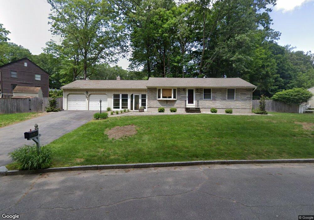
124 Burt Rd Springfield, MA 01118
East Forest Park NeighborhoodEstimated Value: $331,336 - $350,000
3
Beds
1
Bath
1,240
Sq Ft
$277/Sq Ft
Est. Value
About This Home
This home is located at 124 Burt Rd, Springfield, MA 01118 and is currently estimated at $343,834, approximately $277 per square foot. 124 Burt Rd is a home located in Hampden County with nearby schools including Arthur T Talmadge Elementary School, M Marcus Kiley Middle, and Springfield High School of Science and Technology.
Ownership History
Date
Name
Owned For
Owner Type
Purchase Details
Closed on
Feb 24, 2020
Sold by
Shea Kevin M and Shea Bryan P
Bought by
Marotte Maureen A
Current Estimated Value
Purchase Details
Closed on
Oct 14, 2014
Sold by
Shea Thomas D and Shea Pearl M
Bought by
Marotte Maureen A and Shea Kevin M
Create a Home Valuation Report for This Property
The Home Valuation Report is an in-depth analysis detailing your home's value as well as a comparison with similar homes in the area
Home Values in the Area
Average Home Value in this Area
Purchase History
| Date | Buyer | Sale Price | Title Company |
|---|---|---|---|
| Marotte Maureen A | $80,000 | None Available | |
| Marotte Maureen A | -- | -- |
Source: Public Records
Tax History
| Year | Tax Paid | Tax Assessment Tax Assessment Total Assessment is a certain percentage of the fair market value that is determined by local assessors to be the total taxable value of land and additions on the property. | Land | Improvement |
|---|---|---|---|---|
| 2025 | $5,240 | $334,200 | $53,000 | $281,200 |
| 2024 | $5,115 | $318,500 | $53,000 | $265,500 |
| 2023 | $5,147 | $301,900 | $50,400 | $251,500 |
| 2022 | $4,402 | $233,900 | $50,400 | $183,500 |
| 2021 | $4,273 | $226,100 | $45,900 | $180,200 |
| 2020 | $4,070 | $208,400 | $45,900 | $162,500 |
| 2019 | $4,038 | $205,200 | $45,900 | $159,300 |
| 2018 | $3,747 | $195,900 | $45,900 | $150,000 |
| 2017 | $3,747 | $190,600 | $45,900 | $144,700 |
| 2016 | $3,519 | $179,000 | $45,900 | $133,100 |
| 2015 | $3,444 | $175,100 | $45,900 | $129,200 |
Source: Public Records
Map
Nearby Homes
- 101 Regal St
- 647 Plumtree Rd
- 55 Allen St
- 49 Corcoran Blvd
- 19 Manor Ct Unit 19
- 86 Talmadge Dr
- 24 Wands St
- 85 Talmadge Dr
- 509 Plumtree Rd
- 37 Chesterfield Ave
- 17 Pebble Mill Rd
- 81 W Crystal Brook Dr
- 125 Manor Ct Unit 125
- 86 Wildwood Ave
- 55 Old Farm Rd
- 322 Holcomb Rd
- 41 Hillside Dr
- 206 Treetop Ave
- 384 Abbott St
- 75 Gillette Cir
Your Personal Tour Guide
Ask me questions while you tour the home.