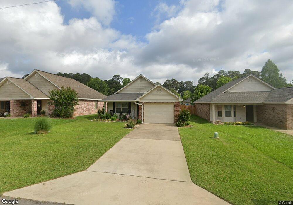
124 Crocker Ln West Monroe, LA 71291
Claiborne NeighborhoodEstimated Value: $151,680 - $177,000
2
Beds
2
Baths
1,088
Sq Ft
$151/Sq Ft
Est. Value
About This Home
This home is located at 124 Crocker Ln, West Monroe, LA 71291 and is currently estimated at $164,420, approximately $151 per square foot. 124 Crocker Ln is a home located in Ouachita Parish with nearby schools including Claiborne School, West Ridge Middle School, and West Monroe High School.
Ownership History
Date
Name
Owned For
Owner Type
Purchase Details
Closed on
Sep 10, 2009
Sold by
Pbm Properties Llc
Bought by
Douglas Joy Denise
Current Estimated Value
Home Financials for this Owner
Home Financials are based on the most recent Mortgage that was taken out on this home.
Original Mortgage
$118,316
Outstanding Balance
$76,784
Interest Rate
5.36%
Mortgage Type
FHA
Estimated Equity
$87,636
Create a Home Valuation Report for This Property
The Home Valuation Report is an in-depth analysis detailing your home's value as well as a comparison with similar homes in the area
Home Values in the Area
Average Home Value in this Area
Purchase History
| Date | Buyer | Sale Price | Title Company |
|---|---|---|---|
| Douglas Joy Denise | $120,500 | Title West |
Source: Public Records
Mortgage History
| Date | Status | Borrower | Loan Amount |
|---|---|---|---|
| Open | Douglas Joy Denise | $118,316 |
Source: Public Records
Tax History
| Year | Tax Paid | Tax Assessment Tax Assessment Total Assessment is a certain percentage of the fair market value that is determined by local assessors to be the total taxable value of land and additions on the property. | Land | Improvement |
|---|---|---|---|---|
| 2025 | $419 | $12,028 | $1,928 | $10,100 |
| 2024 | $419 | $12,028 | $1,928 | $10,100 |
| 2023 | $424 | $12,028 | $1,928 | $10,100 |
| 2022 | $1,067 | $12,028 | $1,928 | $10,100 |
| 2021 | $1,080 | $12,028 | $1,928 | $10,100 |
| 2020 | $1,080 | $12,028 | $1,928 | $10,100 |
| 2019 | $1,077 | $12,028 | $1,928 | $10,100 |
| 2018 | $406 | $12,028 | $1,928 | $10,100 |
| 2017 | $1,077 | $12,028 | $1,928 | $10,100 |
| 2016 | $1,077 | $12,028 | $1,928 | $10,100 |
| 2015 | $404 | $12,028 | $1,928 | $10,100 |
| 2014 | $404 | $12,028 | $1,928 | $10,100 |
| 2013 | $403 | $12,028 | $1,928 | $10,100 |
Source: Public Records
Map
Nearby Homes
- 103 Sadie Ln
- 114 Sadie Ln
- 100 Sadie Ln
- 123 Belle Vue Dr
- 121 Belle Vue Dr
- 206 Blair Ave
- 2211 Wellerman Rd
- 127 Piney Cove
- 302 Paula Dr
- 125 Piney Cove
- 108 Belle Vue Dr
- 104 Watson Cir
- 101 Piney Cove
- 121 Hillcrest Ave
- 207 Westside Dr
- 4450 Cypress St
- 115 Thompson Rd
- 206 Chadwick Dr
- 694 Norris Ln
- 828 Downing Pines Rd
Your Personal Tour Guide
Ask me questions while you tour the home.