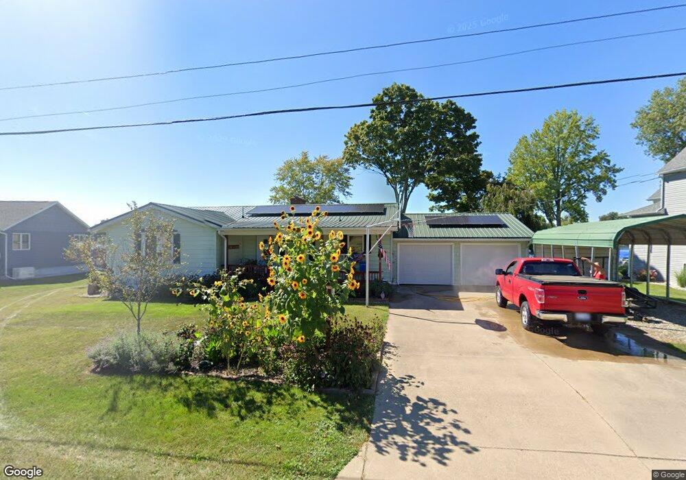
124 Crockett Dr Quincy, MI 49082
Estimated Value: $458,000 - $558,000
3
Beds
3
Baths
1,688
Sq Ft
$300/Sq Ft
Est. Value
About This Home
This home is located at 124 Crockett Dr, Quincy, MI 49082 and is currently estimated at $506,974, approximately $300 per square foot. 124 Crockett Dr is a home located in Branch County with nearby schools including Jennings Elementary School, Quincy Middle School, and Quincy High School.
Ownership History
Date
Name
Owned For
Owner Type
Purchase Details
Closed on
Jul 17, 2019
Sold by
Coolman John and Coolman Teresa
Bought by
Etc Cust and Fbo Katherine Majeske Ira
Current Estimated Value
Purchase Details
Closed on
Feb 25, 2010
Sold by
Coolman John and Coolman Teresa
Bought by
Coolman John and Coolman Teresa
Purchase Details
Closed on
Apr 2, 2007
Sold by
Coolman John
Bought by
Coolman John and Good Teresa
Purchase Details
Closed on
Nov 3, 2000
Sold by
Coolman John D and Coolman Sarah J
Bought by
Coolman John B
Create a Home Valuation Report for This Property
The Home Valuation Report is an in-depth analysis detailing your home's value as well as a comparison with similar homes in the area
Home Values in the Area
Average Home Value in this Area
Purchase History
| Date | Buyer | Sale Price | Title Company |
|---|---|---|---|
| Etc Cust | $85,000 | None Available | |
| Coolman John | -- | None Available | |
| Coolman John | -- | None Available | |
| Coolman John B | -- | -- |
Source: Public Records
Tax History Compared to Growth
Tax History
| Year | Tax Paid | Tax Assessment Tax Assessment Total Assessment is a certain percentage of the fair market value that is determined by local assessors to be the total taxable value of land and additions on the property. | Land | Improvement |
|---|---|---|---|---|
| 2025 | $3,384 | $245,257 | $0 | $0 |
| 2024 | $1,266 | $236,500 | $0 | $0 |
| 2023 | $1,108 | $212,132 | $0 | $0 |
| 2022 | $2,971 | $200,937 | $0 | $0 |
| 2021 | -- | $193,677 | $0 | $0 |
| 2020 | -- | $166,527 | $0 | $0 |
| 2019 | -- | $161,655 | $0 | $0 |
| 2018 | -- | $161,771 | $0 | $0 |
| 2017 | -- | $155,082 | $0 | $0 |
| 2016 | -- | $127,536 | $0 | $0 |
| 2015 | -- | $124,344 | $0 | $0 |
| 2014 | -- | $123,879 | $0 | $0 |
| 2013 | -- | $139,037 | $0 | $0 |
Source: Public Records
Map
Nearby Homes
- 181 Dons Dr
- 180 Crockett Dr
- 202 Dons Dr
- 204 Dons Dr
- 204 Crockett Dr
- 804 Cornell Rd
- 117 Ridge Rd
- 905 Fisher Rd
- 757 Lake Shore Point
- 808 Rolling Meadows Dr
- 727 Skipper Ln
- 283 S Fremont Rd
- 242 Bickford Dr
- 297 Winhoven Dr
- 0 Brocklebank Rd
- 211 S Ray Quincy Rd
- 216 Sandalwood Dr
- 1063 Fisher Rd
- 988 Williams Dr
- 912 Beckwith Shore
- 128 Crockett Dr
- 122 Crockett Dr
- 130 Crockett Dr
- 127 Crockett Dr
- 123 Crockett Dr
- 123 Crockett Dr
- 123 Crockett Dr
- 120 Crockett Dr
- 131 Crockett Dr
- 254 Crockett Dr
- 117 Crockett Dr
- 135 Crockett Dr
- 115 Crockett Dr
- 111 Crockett Dr
- 112 Crockett Dr
- 109 Crockett Dr
- 139 Crockett Dr
- 110 Crockett Dr
- 107 Crockett Dr
- 142 Crockett Dr