124 Daniels Ave Duncan, AZ 85534
Estimated Value: $61,570 - $234,000
--
Bed
--
Bath
1,516
Sq Ft
$103/Sq Ft
Est. Value
About This Home
This home is located at 124 Daniels Ave, Duncan, AZ 85534 and is currently estimated at $155,523, approximately $102 per square foot. 124 Daniels Ave is a home located in Greenlee County with nearby schools including Duncan Elementary School and Duncan High School.
Ownership History
Date
Name
Owned For
Owner Type
Purchase Details
Closed on
Oct 9, 2013
Sold by
Lockhart Kimberly Marie
Bought by
Lockhart Kimberly M
Current Estimated Value
Purchase Details
Closed on
Aug 2, 2013
Sold by
Lockhart Michael Anthony
Bought by
Lockhart Kimberly Marie
Purchase Details
Closed on
Jan 25, 2010
Sold by
Simpson Larry C and Simpson Shana M
Bought by
Chase Home Finance Llc
Purchase Details
Closed on
Jan 28, 2008
Sold by
Miller Richard Paul and Miller Tandy C
Bought by
Simpson Larry C and Simpson Shana M
Home Financials for this Owner
Home Financials are based on the most recent Mortgage that was taken out on this home.
Original Mortgage
$114,240
Interest Rate
6.07%
Mortgage Type
New Conventional
Create a Home Valuation Report for This Property
The Home Valuation Report is an in-depth analysis detailing your home's value as well as a comparison with similar homes in the area
Home Values in the Area
Average Home Value in this Area
Purchase History
| Date | Buyer | Sale Price | Title Company |
|---|---|---|---|
| Lockhart Kimberly M | -- | None Available | |
| Lockhart Kimberly Marie | -- | None Available | |
| Chase Home Finance Llc | $48,450 | Accommodation | |
| Simpson Larry C | $112,000 | Pioneer Title Agency |
Source: Public Records
Mortgage History
| Date | Status | Borrower | Loan Amount |
|---|---|---|---|
| Previous Owner | Simpson Larry C | $114,240 |
Source: Public Records
Tax History Compared to Growth
Tax History
| Year | Tax Paid | Tax Assessment Tax Assessment Total Assessment is a certain percentage of the fair market value that is determined by local assessors to be the total taxable value of land and additions on the property. | Land | Improvement |
|---|---|---|---|---|
| 2026 | -- | -- | -- | -- |
| 2025 | -- | $3,890 | $1,954 | $1,936 |
| 2024 | $0 | $3,580 | $1,700 | $1,880 |
| 2023 | $0 | $3,247 | $1,491 | $1,756 |
| 2022 | $0 | $3,121 | $1,296 | $1,825 |
| 2021 | $294 | $0 | $0 | $0 |
| 2020 | $294 | $0 | $0 | $0 |
| 2019 | $294 | $0 | $0 | $0 |
| 2018 | $267 | $0 | $0 | $0 |
| 2017 | $265 | $0 | $0 | $0 |
| 2016 | $25,246 | $0 | $0 | $0 |
| 2015 | $25,848 | $0 | $0 | $0 |
Source: Public Records
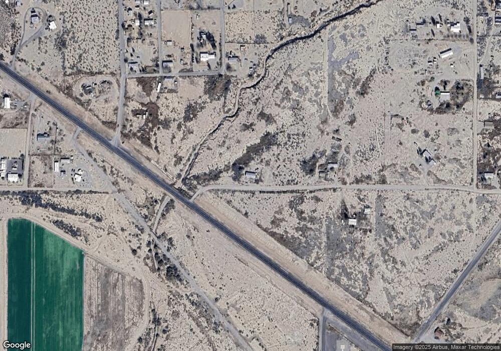
Map
Nearby Homes
- 124 Cricket Way
- 638 Daniels Ave
- TBD Campbell St
- 0 Tbd Unit 1720854
- TBD Campbell Mesquite St
- 202 Madison St
- 380254 Highway 70 E
- 705 Center Ave
- TBD Skyline Dr
- 160 Prickle Pear
- 581 Franklin Rd
- 58 Franklin Rd
- 715 Tyler Farms Rd
- 220 Kaywood Wash Rd
- 0 Off of Hwy 70
- 228 Callaway Rd
- 0 La Canada Rd
- tbd Burro Springs Rd
- 211 Vista Heights Dr
- 505 Game Department Rd
- 218 Comanchee Dr
- 160 Comanche Dr
- 0 State 75
- 16 Comanche Dr
- 115 Harmony Dr
- 246 Mccarty Trail
- 280 Mccarty Trail
- 336 Mccarty Trail
- 335 Cherokee Dr
- 9 Chaparral Rd
- 326 Happy Trail
- 173 Cherokee Dr
- 33 Fisher Ln
- 30 S Cheyenne Ln
- 21 N Shoshone Ln
- 120 Cherokee Dr
- 480 Mccarty Trail
- 49 N Shoshone Ln
- 80 Chaparral Rd
- 59 Chaparral Rd