124 Dove Cove Ln Kings Mountain, NC 28086
Estimated Value: $31,000
--
Bed
--
Bath
--
Sq Ft
18.25
Acres
About This Home
This home is located at 124 Dove Cove Ln, Kings Mountain, NC 28086 and is currently estimated at $31,000. 124 Dove Cove Ln is a home located in Cleveland County with nearby schools including Washington Elementary School, Burns Middle, and Burns High School.
Ownership History
Date
Name
Owned For
Owner Type
Purchase Details
Closed on
May 18, 2023
Sold by
Bowlby Heidi Nicole
Bought by
Bowlby Tyler W
Current Estimated Value
Purchase Details
Closed on
Feb 16, 2022
Sold by
Edgar Ellis David and Edgar Pamala M
Bought by
Bowlby Heidi Nicole
Purchase Details
Closed on
Jul 28, 2021
Sold by
Snyder Phillip J and Estate Of David Edgar Ellis
Bought by
Bowlby Heidi Nicole
Home Financials for this Owner
Home Financials are based on the most recent Mortgage that was taken out on this home.
Original Mortgage
$70,000
Interest Rate
2.93%
Mortgage Type
Land Contract Argmt. Of Sale
Create a Home Valuation Report for This Property
The Home Valuation Report is an in-depth analysis detailing your home's value as well as a comparison with similar homes in the area
Home Values in the Area
Average Home Value in this Area
Purchase History
| Date | Buyer | Sale Price | Title Company |
|---|---|---|---|
| Bowlby Tyler W | $6,000 | None Listed On Document | |
| Bowlby Heidi Nicole | -- | Pack Terry L | |
| Bowlby Heidi Nicole | -- | None Listed On Document | |
| Bowlby Heidi Nicole | $120,000 | None Available |
Source: Public Records
Mortgage History
| Date | Status | Borrower | Loan Amount |
|---|---|---|---|
| Previous Owner | Bowlby Heidi Nicole | $70,000 |
Source: Public Records
Tax History Compared to Growth
Tax History
| Year | Tax Paid | Tax Assessment Tax Assessment Total Assessment is a certain percentage of the fair market value that is determined by local assessors to be the total taxable value of land and additions on the property. | Land | Improvement |
|---|---|---|---|---|
| 2025 | $812 | $125,446 | $125,446 | $0 |
| 2024 | $661 | $80,286 | $80,286 | $0 |
| 2023 | $846 | $103,930 | $101,330 | $2,600 |
| 2022 | $822 | $103,930 | $101,330 | $2,600 |
| 2021 | $826 | $103,930 | $101,330 | $2,600 |
| 2020 | $968 | $116,971 | $114,371 | $2,600 |
| 2019 | $968 | $116,971 | $114,371 | $2,600 |
| 2018 | $968 | $116,971 | $114,371 | $2,600 |
| 2017 | $963 | $116,971 | $114,371 | $2,600 |
| 2016 | $924 | $116,971 | $114,371 | $2,600 |
| 2015 | $750 | $94,897 | $92,297 | $2,600 |
| 2014 | $750 | $94,897 | $92,297 | $2,600 |
Source: Public Records
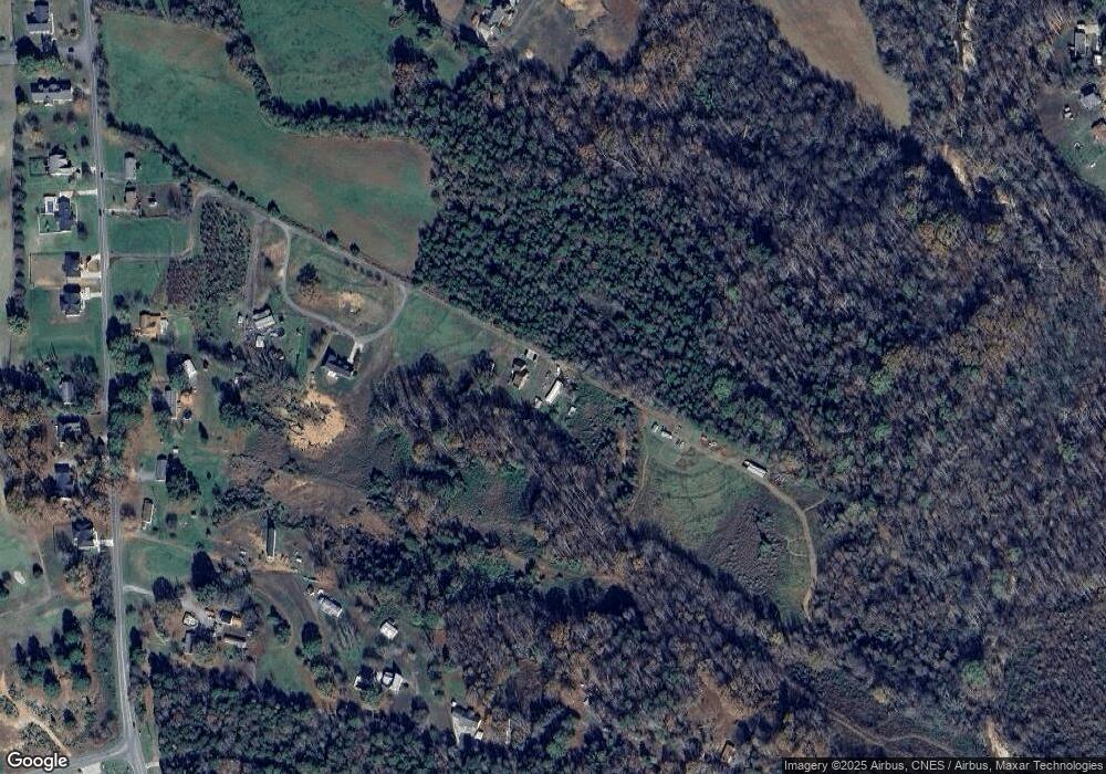
Map
Nearby Homes
- 107 Muirfield Dr
- 956 Stony Point Rd
- 00 Bottom Rd Unit 1
- 00 Bottom Rd Unit 2
- 122 Bottom Rd
- 111 Bottom Rd
- 107 Pinelake Dr
- 106 Candlewood Dr
- 102 Starmount Dr
- 3005 Vernell Ln
- 108 Three Oaks Ln
- 160 Quail Hollow Dr
- 153 Harbourtown Dr
- 111 Tarheel Dr
- 116 Cypress Point Dr
- 110 Cypress Point Dr
- 3202 Marshall Wolfe Rd
- 2207 Peninsula Ave
- 2200 Peninsula Ave
- 1238 Oak Grove Rd
- 122 Dove Cove Ln
- 116 Dove Cove Ln
- 1 Stony Point
- 108 Dove Cove Ln
- 115 Malory Ct
- 117 Malory Ct
- 119 Malory Ct
- 130 Malory Ct
- 131 John Goforth Rd
- 1116 Stony Point Rd
- 1108 Stoney Point Rd
- 1110 Stony Point Rd
- 1118 Stoney Point Rd
- 135 Malory Ct
- 103 Malory Ct
- 1126 Stoney Point Rd
- 990 Stony Point Rd
- 1129 Stoney Point Rd
- 1128 Stony Point Rd
- 1128 Stoney Point Rd