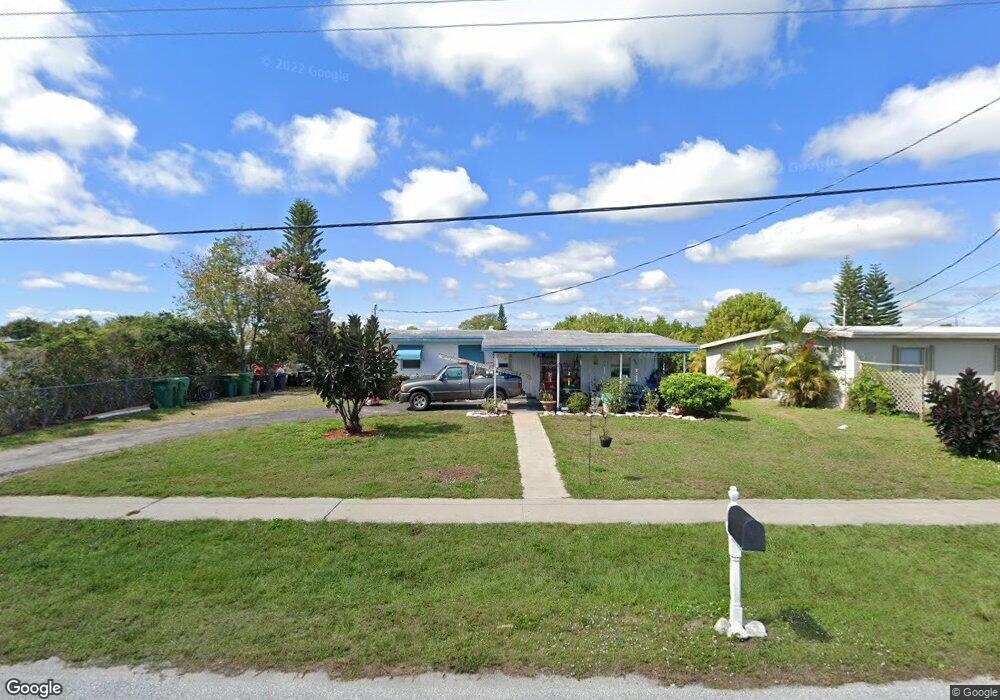
124 Dow Rd Port Charlotte, FL 33952
Estimated Value: $180,000 - $243,553
2
Beds
1
Bath
1,036
Sq Ft
$191/Sq Ft
Est. Value
About This Home
This home is located at 124 Dow Rd, Port Charlotte, FL 33952 and is currently estimated at $197,888, approximately $191 per square foot. 124 Dow Rd is a home located in Charlotte County with nearby schools including Peace River Elementary School, Port Charlotte Middle School, and Charlotte High School.
Ownership History
Date
Name
Owned For
Owner Type
Purchase Details
Closed on
Jul 30, 2020
Sold by
Bailey Colleen A and Bailey Colleen D
Bought by
Bailey Colleen A and Bailey Collette Marie
Current Estimated Value
Purchase Details
Closed on
Mar 27, 2020
Sold by
Bailey Colleen D
Bought by
Tlgfy Llc
Purchase Details
Closed on
Jun 16, 2000
Sold by
Reiff Enos M and Carrigan Isabelle M
Bought by
Bailey George E and Bailey Colleen D
Home Financials for this Owner
Home Financials are based on the most recent Mortgage that was taken out on this home.
Original Mortgage
$51,524
Interest Rate
8.27%
Mortgage Type
FHA
Purchase Details
Closed on
Feb 21, 1995
Sold by
Carrigan Isabelle M and Reiff Enos M
Bought by
Reiff Enos M and Carrigan Isabelle M
Home Financials for this Owner
Home Financials are based on the most recent Mortgage that was taken out on this home.
Original Mortgage
$35,000
Interest Rate
9.18%
Create a Home Valuation Report for This Property
The Home Valuation Report is an in-depth analysis detailing your home's value as well as a comparison with similar homes in the area
Home Values in the Area
Average Home Value in this Area
Purchase History
| Date | Buyer | Sale Price | Title Company |
|---|---|---|---|
| Bailey Colleen A | -- | None Available | |
| Tlgfy Llc | $42,980 | None Available | |
| Bailey George E | $52,000 | -- | |
| Reiff Enos M | $25,000 | -- |
Source: Public Records
Mortgage History
| Date | Status | Borrower | Loan Amount |
|---|---|---|---|
| Previous Owner | Bailey George E | $51,524 | |
| Previous Owner | Reiff Enos M | $35,000 |
Source: Public Records
Tax History Compared to Growth
Tax History
| Year | Tax Paid | Tax Assessment Tax Assessment Total Assessment is a certain percentage of the fair market value that is determined by local assessors to be the total taxable value of land and additions on the property. | Land | Improvement |
|---|---|---|---|---|
| 2023 | $1,316 | $75,567 | $0 | $0 |
| 2022 | $1,327 | $78,599 | $0 | $0 |
| 2021 | $1,305 | $76,310 | $0 | $0 |
| 2020 | $1,261 | $75,256 | $0 | $0 |
| 2019 | $1,194 | $73,564 | $0 | $0 |
| 2018 | $1,096 | $72,192 | $0 | $0 |
| 2017 | $1,092 | $70,707 | $0 | $0 |
| 2016 | $1,091 | $69,253 | $0 | $0 |
| 2015 | $1,077 | $68,772 | $0 | $0 |
| 2014 | $1,058 | $68,226 | $0 | $0 |
Source: Public Records
Map
Nearby Homes
- 181 Duxbury Ave
- 141 Duxbury Ave
- 520 Sharon Cir
- 471 Sharon Cir
- 400 Dalton Blvd
- 300 Dalton Blvd
- 370 Weber Terrace
- 3688 Brooklyn Ave
- 330 Weber Terrace
- 4371 Conway Blvd
- 4045 Conway Blvd
- 3782 Tamiami Trail Unit B
- 645 Dalton Blvd
- 301 Palmetto Dr NE
- 640 Dalton Blvd
- 681 Dalton Blvd
- 700 Floral Ln
- 581 Lindley Terrace
- 551 Lindley Terrace
- 4198 Gardner Dr