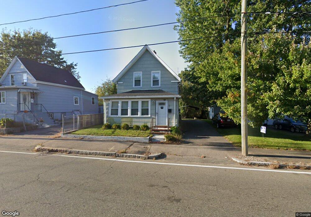
124 E Ashland St Brockton, MA 02302
Montello NeighborhoodEstimated Value: $397,000 - $415,000
3
Beds
1
Bath
980
Sq Ft
$416/Sq Ft
Est. Value
About This Home
This home is located at 124 E Ashland St, Brockton, MA 02302 and is currently estimated at $407,907, approximately $416 per square foot. 124 E Ashland St is a home located in Plymouth County with nearby schools including Brookfield Elementary School, Mary E. Baker Elementary School, and Downey Elementary School.
Ownership History
Date
Name
Owned For
Owner Type
Purchase Details
Closed on
Jul 9, 2008
Sold by
Countrywide Home Svcs
Bought by
Yonitis Kevin J
Current Estimated Value
Home Financials for this Owner
Home Financials are based on the most recent Mortgage that was taken out on this home.
Original Mortgage
$81,600
Interest Rate
6.13%
Mortgage Type
Purchase Money Mortgage
Purchase Details
Closed on
Feb 14, 2008
Sold by
Key Angela
Bought by
Wells Fargo Bk and Morgan Stanley Capitl
Purchase Details
Closed on
Jan 4, 2005
Sold by
East Ashland St Nt
Bought by
Key Angela
Home Financials for this Owner
Home Financials are based on the most recent Mortgage that was taken out on this home.
Original Mortgage
$194,000
Interest Rate
5.73%
Mortgage Type
Purchase Money Mortgage
Purchase Details
Closed on
Jun 4, 2004
Sold by
Dentch Mary Anne and Dentch Mary A
Bought by
E Ashland Street Nt
Create a Home Valuation Report for This Property
The Home Valuation Report is an in-depth analysis detailing your home's value as well as a comparison with similar homes in the area
Home Values in the Area
Average Home Value in this Area
Purchase History
| Date | Buyer | Sale Price | Title Company |
|---|---|---|---|
| Yonitis Kevin J | $102,000 | -- | |
| Wells Fargo Bk | $171,000 | -- | |
| Key Angela | $242,500 | -- | |
| E Ashland Street Nt | $175,000 | -- |
Source: Public Records
Mortgage History
| Date | Status | Borrower | Loan Amount |
|---|---|---|---|
| Open | E Ashland Street Nt | $80,000 | |
| Closed | E Ashland Street Nt | $81,600 | |
| Previous Owner | E Ashland Street Nt | $194,000 | |
| Previous Owner | E Ashland Street Nt | $36,375 |
Source: Public Records
Tax History
| Year | Tax Paid | Tax Assessment Tax Assessment Total Assessment is a certain percentage of the fair market value that is determined by local assessors to be the total taxable value of land and additions on the property. | Land | Improvement |
|---|---|---|---|---|
| 2025 | $4,407 | $363,900 | $146,100 | $217,800 |
| 2024 | $4,226 | $351,600 | $146,100 | $205,500 |
| 2023 | $3,991 | $307,500 | $111,200 | $196,300 |
| 2022 | $4,079 | $292,000 | $101,100 | $190,900 |
| 2021 | $3,616 | $249,400 | $95,700 | $153,700 |
| 2020 | $3,486 | $230,100 | $91,700 | $138,400 |
| 2019 | $3,125 | $201,100 | $86,100 | $115,000 |
| 2018 | $3,061 | $190,600 | $86,100 | $104,500 |
| 2017 | $2,916 | $181,100 | $86,100 | $95,000 |
| 2016 | $2,769 | $159,500 | $82,100 | $77,400 |
| 2015 | $2,403 | $132,400 | $82,100 | $50,300 |
| 2014 | $2,522 | $139,100 | $82,100 | $57,000 |
Source: Public Records
Map
Nearby Homes
- 130 E Ashland St
- 116 E Ashland St
- 136 E Ashland St
- 127 E Ashland St
- 133 E Ashland St
- 133 E Ashland St Unit 1
- 142 E Ashland St
- 121 E Ashland St
- 115 E Ashland St
- 148 E Ashland St
- 139 E Ashland St
- 000 E Ashland (1) and River (2)
- 109 E Ashland St
- 60 River St
- 93 Emmet St Unit 2
- 93 Emmet St
- 149 E Ashland St
- 95 River St
- 97 E Ashland St
- 89 River St
Your Personal Tour Guide
Ask me questions while you tour the home.