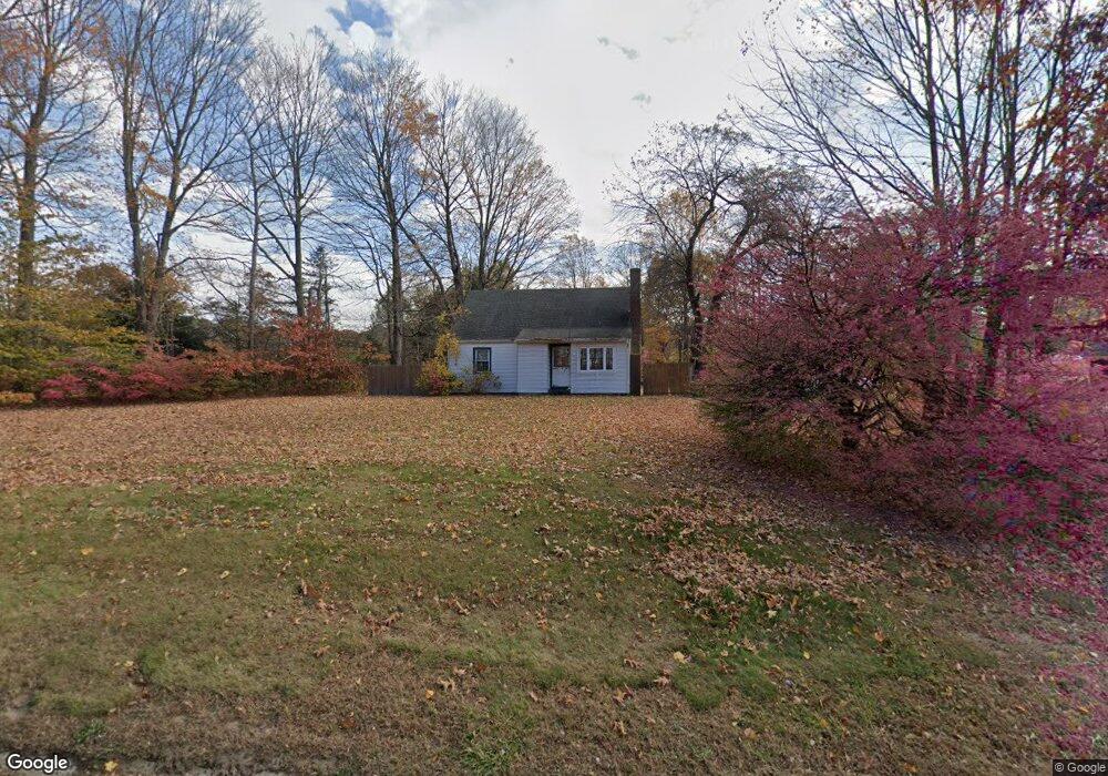
124 E High St East Hampton, CT 06424
Estimated Value: $318,242 - $379,000
2
Beds
1
Bath
1,183
Sq Ft
$285/Sq Ft
Est. Value
About This Home
This home is located at 124 E High St, East Hampton, CT 06424 and is currently estimated at $336,811, approximately $284 per square foot. 124 E High St is a home located in Middlesex County with nearby schools including Memorial School, Center Elementary School, and East Hampton Middle School.
Ownership History
Date
Name
Owned For
Owner Type
Purchase Details
Closed on
Oct 29, 2018
Sold by
Barber Theodore M
Bought by
124 East High Street L
Current Estimated Value
Home Financials for this Owner
Home Financials are based on the most recent Mortgage that was taken out on this home.
Original Mortgage
$185,000
Outstanding Balance
$161,346
Interest Rate
4.6%
Mortgage Type
Purchase Money Mortgage
Estimated Equity
$175,465
Create a Home Valuation Report for This Property
The Home Valuation Report is an in-depth analysis detailing your home's value as well as a comparison with similar homes in the area
Home Values in the Area
Average Home Value in this Area
Purchase History
| Date | Buyer | Sale Price | Title Company |
|---|---|---|---|
| 124 East High Street L | $200,000 | -- | |
| 124 East High Street L | $200,000 | -- |
Source: Public Records
Mortgage History
| Date | Status | Borrower | Loan Amount |
|---|---|---|---|
| Open | 124 East High Street L | $185,000 | |
| Closed | 124 East High Street L | $185,000 |
Source: Public Records
Tax History Compared to Growth
Tax History
| Year | Tax Paid | Tax Assessment Tax Assessment Total Assessment is a certain percentage of the fair market value that is determined by local assessors to be the total taxable value of land and additions on the property. | Land | Improvement |
|---|---|---|---|---|
| 2025 | $5,223 | $131,520 | $54,570 | $76,950 |
| 2024 | $5,003 | $131,520 | $54,570 | $76,950 |
| 2023 | $4,743 | $131,520 | $54,570 | $76,950 |
| 2022 | $4,558 | $131,520 | $54,570 | $76,950 |
| 2021 | $4,541 | $131,520 | $54,570 | $76,950 |
| 2020 | $4,450 | $134,270 | $55,590 | $78,680 |
| 2019 | $4,613 | $139,210 | $57,130 | $82,080 |
| 2018 | $4,360 | $139,210 | $57,130 | $82,080 |
| 2017 | $4,360 | $139,210 | $57,130 | $82,080 |
| 2016 | $4,098 | $139,210 | $57,130 | $82,080 |
| 2015 | $3,822 | $137,590 | $55,020 | $82,570 |
| 2014 | $3,326 | $137,590 | $55,020 | $82,570 |
Source: Public Records
Map
Nearby Homes
- 0002-6 Edgewater Cir
- 0002-5 Edgewater Cir
- 0002-3 Edgewater Cir
- 00023 Edgewater Cir
- 00025 Edgewater Cir
- 00026 Edgewater Cir
- 22 Lakeview St
- Homesite 10 Quinns Way
- 41 Mallard Cove
- 14 Daly Rd
- 60 Wangonk Trail
- 0 Island Unit 24106398
- 27 N Main St
- 75 N Main St
- 17 Bevin Blvd
- 14 Main St
- 18 Lake Blvd
- 1 Watrous St
- 10 Railroad Ave
- 4 Watrous St
- 105 Lake Vista Dr Unit 105
- 104 Lake Vista Dr Unit 104
- 106 Lake Vista Dr
- 203 Lake Vista Dr Unit C
- 203 Lake Vista Dr Unit 203
- 105 Lake Vista Dr
- 203 Lake Vista Dr Unit 203
- 203 Lake Vista Dr
- 105 Lake Vista Dr Unit 105
- 105 Lake Vista Dr Unit A
- 106 Lake Vista Dr Unit 106
- 66 Old Marlborough Rd
- 107 Lake Vista Dr Unit 107
- 206 Lake Vista Dr Unit 206
- 206 Lake Vista Dr
- 68 Old Marlborough Rd
- 201 Lake Vista Dr Unit 201
- 201 Lake Vista Dr
- 202D Lake Vista Dr Unit 202
- 503 Lake Vista Dr Unit 503