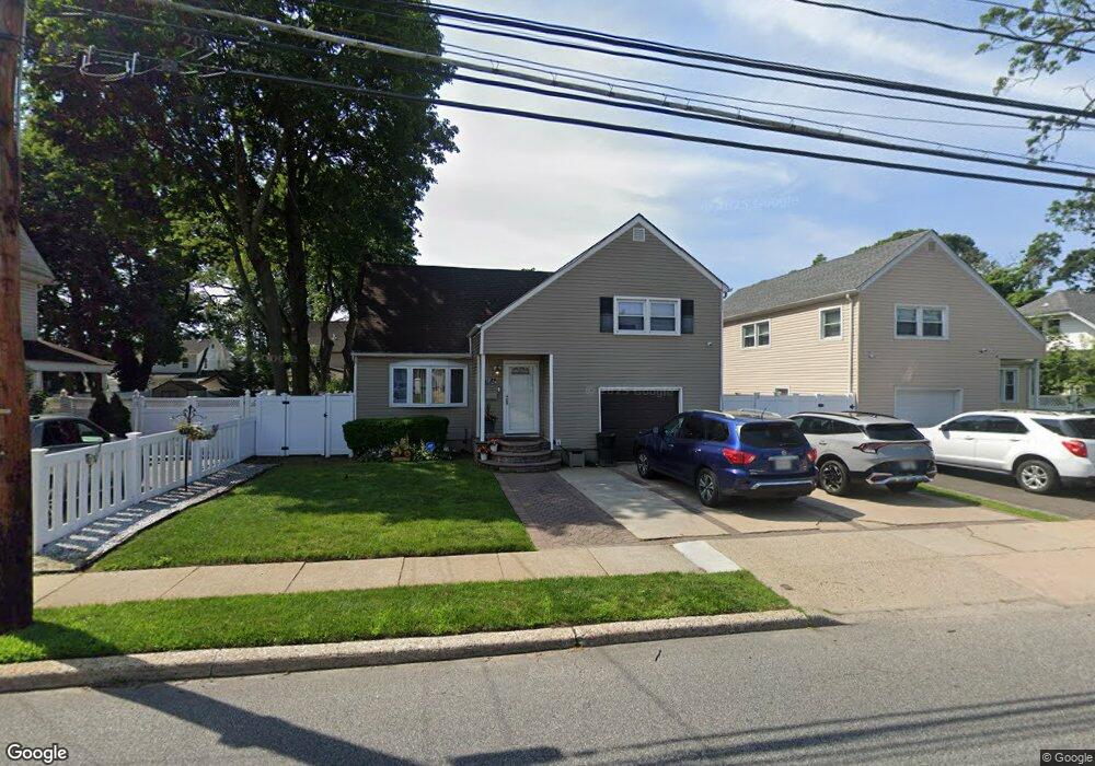
124 E Seaman Ave Freeport, NY 11520
Estimated Value: $615,000
--
Bed
2
Baths
1,505
Sq Ft
$409/Sq Ft
Est. Value
About This Home
This home is located at 124 E Seaman Ave, Freeport, NY 11520 and is currently estimated at $615,000, approximately $408 per square foot. 124 E Seaman Ave is a home located in Nassau County with nearby schools including Columbus Avenue School, Caroline G. Atkinson Intermediate School, and John W Dodd Middle School.
Ownership History
Date
Name
Owned For
Owner Type
Purchase Details
Closed on
Oct 18, 2022
Sold by
Dicks Randy and Dicks Yvonne
Bought by
Pacific Common Properties Llc
Current Estimated Value
Purchase Details
Closed on
Jun 28, 1996
Sold by
Gamble Paul and Gamble Albertha
Bought by
Dicks Randy and Dicks Yvonne
Home Financials for this Owner
Home Financials are based on the most recent Mortgage that was taken out on this home.
Original Mortgage
$140,800
Interest Rate
8.37%
Create a Home Valuation Report for This Property
The Home Valuation Report is an in-depth analysis detailing your home's value as well as a comparison with similar homes in the area
Home Values in the Area
Average Home Value in this Area
Purchase History
| Date | Buyer | Sale Price | Title Company |
|---|---|---|---|
| Pacific Common Properties Llc | $500,000 | None Available | |
| Dicks Randy | $145,000 | -- |
Source: Public Records
Mortgage History
| Date | Status | Borrower | Loan Amount |
|---|---|---|---|
| Previous Owner | Dicks Randy | $140,800 |
Source: Public Records
Tax History Compared to Growth
Tax History
| Year | Tax Paid | Tax Assessment Tax Assessment Total Assessment is a certain percentage of the fair market value that is determined by local assessors to be the total taxable value of land and additions on the property. | Land | Improvement |
|---|---|---|---|---|
| 2025 | $8,301 | $385 | $125 | $260 |
| 2024 | $829 | $385 | $125 | $260 |
| 2023 | $6,420 | $385 | $125 | $260 |
| 2022 | $6,420 | $385 | $125 | $260 |
| 2021 | $5,658 | $369 | $114 | $255 |
| 2020 | $5,402 | $458 | $295 | $163 |
| 2019 | $815 | $491 | $246 | $245 |
| 2018 | $4,859 | $630 | $0 | $0 |
| 2017 | $6,182 | $630 | $316 | $314 |
| 2016 | $7,127 | $630 | $316 | $314 |
| 2015 | $910 | $630 | $316 | $314 |
| 2014 | $910 | $630 | $316 | $314 |
| 2013 | $860 | $630 | $316 | $314 |
Source: Public Records
Map
Nearby Homes
- 112 E Seaman Ave
- 101 Harris Ave
- 259 N Columbus Ave
- 173 E Seaman Ave
- 92 Leonard Ave
- 272 N Columbus Ave
- 261 Rutland Rd
- 67 E Dean St
- 221 E Dean St
- 238 Babylon Turnpike
- 161 Grand Ave
- 110 Woodside Ave
- 182 Grand Ave
- 45 Dehnhoff Ave
- 251 Grand Ave
- 451 Babylon Turnpike
- 93 Woodside Ave
- 400 N Columbus Ave
- 98 N Columbus Ave
- 96 N Columbus Ave
- 120 E Seaman Ave
- 128 E Seaman Ave
- 118 E Seaman Ave
- 123 Harris Ave
- 121 Harris Ave
- 134 E Seaman Ave
- 127 Harris Ave
- 119 Harris Ave
- 125 E Seaman Ave
- 121 E Seaman Ave
- 131 Harris Ave
- 127 E Seaman Ave
- 115 E Seaman Ave
- 105 Harris Ave
- 135 E Seaman Ave
- 142 E Seaman Ave
- 110 E Seaman Ave
- 133 Harris Ave
- 109 E Seaman Ave
- 103 Harris Ave