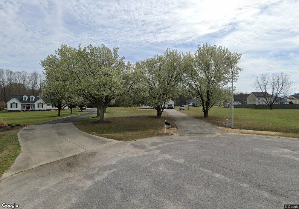
124 Eunice Dr Clayton, NC 27520
Estimated Value: $324,000 - $373,000
3
Beds
2
Baths
1,674
Sq Ft
$204/Sq Ft
Est. Value
About This Home
This home is located at 124 Eunice Dr, Clayton, NC 27520 and is currently estimated at $341,388, approximately $203 per square foot. 124 Eunice Dr is a home located in Johnston County with nearby schools including Swift Creek Middle, Smithfield-Selma High School, and American Leadership Academy.
Ownership History
Date
Name
Owned For
Owner Type
Purchase Details
Closed on
Jan 6, 2021
Sold by
Denton Billy W
Bought by
Denton Carmen
Current Estimated Value
Purchase Details
Closed on
Dec 23, 2011
Sold by
Denton Billy W and Matthews Carmen
Bought by
Denton Billy W and Denton Carmen
Home Financials for this Owner
Home Financials are based on the most recent Mortgage that was taken out on this home.
Original Mortgage
$127,000
Interest Rate
4.07%
Mortgage Type
New Conventional
Create a Home Valuation Report for This Property
The Home Valuation Report is an in-depth analysis detailing your home's value as well as a comparison with similar homes in the area
Home Values in the Area
Average Home Value in this Area
Purchase History
| Date | Buyer | Sale Price | Title Company |
|---|---|---|---|
| Denton Carmen | -- | None Available | |
| Denton Billy W | -- | None Available |
Source: Public Records
Mortgage History
| Date | Status | Borrower | Loan Amount |
|---|---|---|---|
| Closed | Denton Billy W | $127,000 |
Source: Public Records
Tax History
| Year | Tax Paid | Tax Assessment Tax Assessment Total Assessment is a certain percentage of the fair market value that is determined by local assessors to be the total taxable value of land and additions on the property. | Land | Improvement |
|---|---|---|---|---|
| 2025 | $1,944 | $306,100 | $60,000 | $246,100 |
| 2024 | $1,497 | $184,830 | $30,000 | $154,830 |
| 2023 | $1,423 | $184,830 | $30,000 | $154,830 |
| 2022 | $1,460 | $184,830 | $30,000 | $154,830 |
| 2021 | $1,460 | $184,830 | $30,000 | $154,830 |
| 2020 | $1,516 | $184,830 | $30,000 | $154,830 |
| 2019 | $1,516 | $184,830 | $30,000 | $154,830 |
| 2018 | $1,359 | $161,730 | $34,070 | $127,660 |
| 2017 | $1,359 | $161,730 | $34,070 | $127,660 |
| 2016 | $1,359 | $161,730 | $34,070 | $127,660 |
| 2015 | $1,359 | $161,730 | $34,070 | $127,660 |
| 2014 | $1,359 | $161,730 | $34,070 | $127,660 |
Source: Public Records
Map
Nearby Homes
- 176 Starlet Ridge Way
- 124 Starlet Ridge Way
- 146 Starlet Ridge Way
- 0 Westerman Place Unit 10154207
- 217 Caitlyn Pkwy
- 229 Caitlyn Pkwy
- 212 Caitlyn Pkwy
- 192 Caitlyn Pkwy
- 186 Caitlyn Pkwy
- 217 N Finley Landing Pkwy
- 162 Caitlyn Pkwy
- 256 Lily Patch Ln
- 300 Thompson Overlook Way
- 248 Lily Patch Ln
- 240 Lily Patch Ln
- 236 Lily Patch Ln
- 232 Lily Patch Ln
- 216 Lily Patch Ln
- 224 Lily Patch Ln
- 212 Lily Patch Ln
- 120 Eunice Dr
- 236 Sunset Pointe Dr
- 130 Eunice Dr
- 231 Sunset Pointe Dr
- 231 Sunset Pointe Dr Unit LT 7
- 228 Sunset Pointe Dr
- 217 Sunset Pointe Dr
- 214 Sunset Pointe Dr
- 125 Eunice Dr
- 105 Eunice Dr
- 189 Sunset Pointe Dr
- 198 Sunset Pointe Dr
- 600 Rock Pillar Rd
- 157 Sunset Pointe Dr
- 610 Rock Pillar Rd
- 650 Rock Pillar Rd
- 566 Rock Pillar Rd
- 174 Sunset Pointe Dr
- 586 Rock Pillar Rd
- 23 Eunice Dr
Your Personal Tour Guide
Ask me questions while you tour the home.