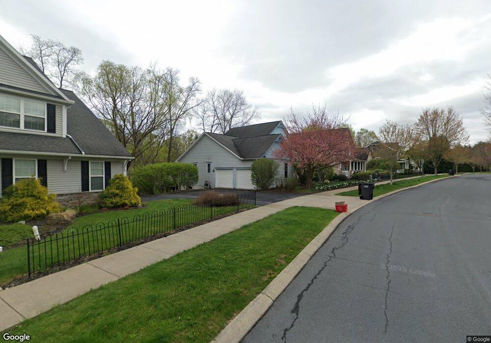
124 Gas Light Cir State College, PA 16801
Estimated Value: $497,000 - $621,000
3
Beds
3
Baths
2,028
Sq Ft
$266/Sq Ft
Est. Value
About This Home
This home is located at 124 Gas Light Cir, State College, PA 16801 and is currently estimated at $539,509, approximately $266 per square foot. 124 Gas Light Cir is a home located in Centre County with nearby schools including Spring Creek Elementary, Mount Nittany Middle School, and State College Area High School.
Ownership History
Date
Name
Owned For
Owner Type
Purchase Details
Closed on
May 30, 2007
Sold by
Edwards James C and Edwards Jon D
Bought by
Roth John T and Roth Tricia D
Current Estimated Value
Home Financials for this Owner
Home Financials are based on the most recent Mortgage that was taken out on this home.
Original Mortgage
$221,600
Outstanding Balance
$32,005
Interest Rate
6.19%
Mortgage Type
Purchase Money Mortgage
Estimated Equity
$507,504
Create a Home Valuation Report for This Property
The Home Valuation Report is an in-depth analysis detailing your home's value as well as a comparison with similar homes in the area
Home Values in the Area
Average Home Value in this Area
Purchase History
| Date | Buyer | Sale Price | Title Company |
|---|---|---|---|
| Roth John T | $277,000 | None Available |
Source: Public Records
Mortgage History
| Date | Status | Borrower | Loan Amount |
|---|---|---|---|
| Open | Roth John T | $221,600 |
Source: Public Records
Tax History Compared to Growth
Tax History
| Year | Tax Paid | Tax Assessment Tax Assessment Total Assessment is a certain percentage of the fair market value that is determined by local assessors to be the total taxable value of land and additions on the property. | Land | Improvement |
|---|---|---|---|---|
| 2025 | $7,506 | $115,720 | $28,315 | $87,405 |
| 2024 | $7,127 | $115,720 | $28,315 | $87,405 |
| 2023 | $7,127 | $115,720 | $28,315 | $87,405 |
| 2022 | $6,946 | $115,720 | $28,315 | $87,405 |
| 2021 | $6,946 | $115,720 | $28,315 | $87,405 |
| 2020 | $6,912 | $115,720 | $28,315 | $87,405 |
| 2019 | $5,849 | $115,720 | $28,315 | $87,405 |
| 2018 | $6,641 | $115,720 | $28,315 | $87,405 |
| 2017 | $6,563 | $115,720 | $28,315 | $87,405 |
| 2016 | -- | $115,720 | $28,315 | $87,405 |
| 2015 | -- | $115,720 | $28,315 | $87,405 |
| 2014 | -- | $115,720 | $28,315 | $87,405 |
Source: Public Records
Map
Nearby Homes
- 833 Elmwood St
- 216 Shady Dr
- 173 Dale St
- 124 Grandview Rd
- 1000 Cortland Dr
- 743 Henszey St
- 108 Grandview Rd
- 1807 E Branch Rd
- 418 Pike St
- 100 Rainlo St
- 696 Wayne St
- 110 Green Acres Ln
- 1100 Cortland Dr
- 1516 Elizabeth Rd
- 250 1st Ave
- 246 1st Ave
- 933 Oak Ridge Ave
- 429 Farmhill Dr
- 423 Farmhill Dr
- ON 1st Ave
- 120 Gas Light Cir
- 126 Gas Light Cir
- 175 Gas Light Cir
- 116 Gas Light Cir
- 132 Gas Light Cir
- 130 Schreck Alley
- 130/132 Schreck Alley
- 132 Schreck Alley
- Lot 20 Gas Light Cir
- Lot 17 Gas Light Cir
- Lot 10 Gas Light Cir
- Lot 21 Gas Light Cir
- Lot 8 Gas Light Cir
- Lot 6 Gas Light Cir
- Lot 26 Gas Light Cir
- 128 Gas Light Cir
- 179 Gas Light Cir
- 169 Gas Light Cir
- 176 Gas Light Cir