Estimated Value: $298,961 - $326,000
3
Beds
2
Baths
1,795
Sq Ft
$175/Sq Ft
Est. Value
About This Home
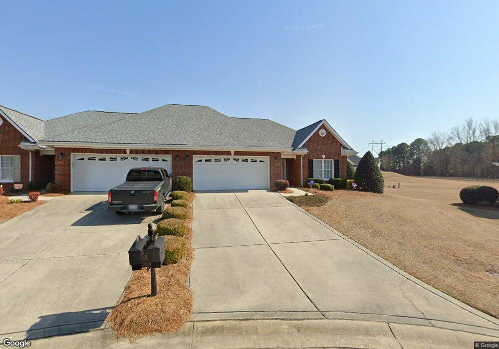
This home is located at 124 Glenfield Dr, Dunn, NC 28334 and is currently estimated at $313,490, approximately $174 per square foot. 124 Glenfield Dr is a home located in Harnett County with nearby schools including Dunn Elementary School, Dunn Middle School, and Triton High School.
Ownership History
Date
Name
Owned For
Owner Type
Purchase Details
Closed on
Jul 13, 2022
Sold by
Ann Carpenter Amanda
Bought by
Ann Carpenter Living Trust
Current Estimated Value
Purchase Details
Closed on
Feb 20, 2017
Sold by
Secu Re Inc
Bought by
Lane Ann C
Home Financials for this Owner
Home Financials are based on the most recent Mortgage that was taken out on this home.
Original Mortgage
$141,800
Interest Rate
4.19%
Mortgage Type
New Conventional
Purchase Details
Closed on
Aug 9, 2016
Bought by
Secu Re Inc
Purchase Details
Closed on
Mar 2, 2016
Sold by
Leslie Melanie
Bought by
State Employees Cr Un
Purchase Details
Closed on
Jul 20, 2005
Sold by
Wellons Realty Inc
Bought by
Leslie Melanie S
Home Financials for this Owner
Home Financials are based on the most recent Mortgage that was taken out on this home.
Original Mortgage
$148,400
Interest Rate
4.75%
Mortgage Type
New Conventional
Create a Home Valuation Report for This Property
The Home Valuation Report is an in-depth analysis detailing your home's value as well as a comparison with similar homes in the area
Home Values in the Area
Average Home Value in this Area
Purchase History
| Date | Buyer | Sale Price | Title Company |
|---|---|---|---|
| Ann Carpenter Living Trust | -- | Kelly J Mackay Attorney Walker | |
| Lane Ann C | $155,000 | -- | |
| Secu Re Inc | $124,000 | -- | |
| State Employees Cr Un | $141,000 | -- | |
| Leslie Melanie S | $165,000 | None Available |
Source: Public Records
Mortgage History
| Date | Status | Borrower | Loan Amount |
|---|---|---|---|
| Previous Owner | Lane Ann C | $141,800 | |
| Previous Owner | Leslie Melanie S | $148,400 |
Source: Public Records
Tax History
| Year | Tax Paid | Tax Assessment Tax Assessment Total Assessment is a certain percentage of the fair market value that is determined by local assessors to be the total taxable value of land and additions on the property. | Land | Improvement |
|---|---|---|---|---|
| 2025 | $2,839 | $213,603 | $0 | $0 |
| 2024 | $2,778 | $213,603 | $0 | $0 |
| 2023 | $2,650 | $213,603 | $0 | $0 |
| 2022 | $2,230 | $213,603 | $0 | $0 |
| 2021 | $2,230 | $157,750 | $0 | $0 |
| 2020 | $2,230 | $157,750 | $0 | $0 |
| 2019 | $2,184 | $157,750 | $0 | $0 |
| 2018 | $2,215 | $157,750 | $0 | $0 |
| 2017 | $2,215 | $178,230 | $0 | $0 |
| 2016 | $2,554 | $182,650 | $0 | $0 |
| 2015 | $2,518 | $182,650 | $0 | $0 |
| 2014 | $2,518 | $182,650 | $0 | $0 |
Source: Public Records
Map
Nearby Homes
- 219 Crescent Dr
- 128 Crescent Dr
- 110 Rose Cir
- 100 Martin St
- 396 Riley Vann Ln
- 311 Marlowe Dr
- 1116 Friendly Rd
- 1108 Friendly Rd
- 0 W Cumberland St Unit 10097343
- 122 Jenkins St
- 130 Jenkins St
- 118 Landon Ln
- 103 Byrd Dr
- 1208 Red Hill Church Rd
- 213 Maye St
- 113 Joy St
- 1492 Erwin Rd
- 0 Red Hill Church Rd Unit 10142273
- 51 Stout Landing
- 48 Stout Landing
- 123 Glenfield Dr
- 122 Glenfield Dr
- 113 Stafford Ct
- 111 Stafford Ct
- 120 Glenfield Dr
- 121 Glenfield Dr
- 109 Stafford Ct
- 115 Stafford Ct
- 118 Glenfield Dr
- 119 Glenfield Dr
- 117 Glenfield Dr
- 116 Glenfield Dr
- 108 Stafford Ct
- 107 Stafford Ct
- 115 Glenfield Dr
- 106 Stafford Ct
- 114 Glenfield Dr
- 105 Stafford Ct
- 102 Stafford Ct
- 24 Stafford Ct
Your Personal Tour Guide
Ask me questions while you tour the home.