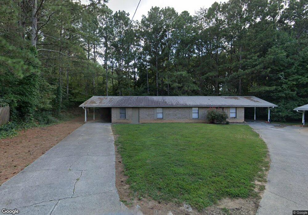
124 Jarrett Way Dalton, GA 30721
Estimated Value: $294,141 - $339,000
--
Bed
2
Baths
1,972
Sq Ft
$163/Sq Ft
Est. Value
About This Home
This home is located at 124 Jarrett Way, Dalton, GA 30721 and is currently estimated at $321,035, approximately $162 per square foot. 124 Jarrett Way is a home located in Whitfield County with nearby schools including New Hope Elementary School, New Hope Middle School, and Northwest Whitfield County High School.
Ownership History
Date
Name
Owned For
Owner Type
Purchase Details
Closed on
Oct 1, 2019
Sold by
Robison Kathy A
Bought by
Robison Timothy
Current Estimated Value
Purchase Details
Closed on
Dec 5, 2013
Sold by
Robison Kathy A
Bought by
Robison Kathy A and Robison Christopher W
Purchase Details
Closed on
Mar 1, 1994
Bought by
Robison Kathy A
Create a Home Valuation Report for This Property
The Home Valuation Report is an in-depth analysis detailing your home's value as well as a comparison with similar homes in the area
Home Values in the Area
Average Home Value in this Area
Purchase History
| Date | Buyer | Sale Price | Title Company |
|---|---|---|---|
| Robison Timothy | -- | -- | |
| Robison Kathy A | -- | -- | |
| Robison Kathy A | -- | -- |
Source: Public Records
Tax History Compared to Growth
Tax History
| Year | Tax Paid | Tax Assessment Tax Assessment Total Assessment is a certain percentage of the fair market value that is determined by local assessors to be the total taxable value of land and additions on the property. | Land | Improvement |
|---|---|---|---|---|
| 2024 | $92 | $103,341 | $7,511 | $95,830 |
| 2023 | $599 | $75,819 | $4,807 | $71,012 |
| 2022 | $443 | $61,286 | $4,717 | $56,569 |
| 2021 | $444 | $61,286 | $4,717 | $56,569 |
| 2020 | $485 | $61,286 | $4,717 | $56,569 |
| 2019 | $1,102 | $64,605 | $8,036 | $56,569 |
| 2018 | $1,078 | $63,148 | $6,579 | $56,569 |
| 2017 | $1,079 | $63,148 | $6,579 | $56,569 |
| 2016 | $950 | $60,625 | $9,175 | $51,450 |
| 2014 | $808 | $60,625 | $9,175 | $51,450 |
| 2013 | -- | $60,625 | $9,174 | $51,450 |
Source: Public Records
Map
Nearby Homes
- 1425 Wiggs Dr
- 303 Cherokee Trail NW
- 609 Cherokee Trail NW
- 287 Williams Rd NW
- 1015 S Ridge Dr
- 1626 Lagenia Ct
- 0 West R W Ridge Dr
- 466 Scarlet Dr
- 3025 Cleveland Hwy
- 2256 Waring Rd NW
- 3147 Cleveland Hwy
- 2002 Broadacre Dr NW
- 2215 Kerr Rd NW
- 3216 Cleveland Hwy
- 3201 Maple Grove Dr NW
- 192 Carly Dr
- 112 Albertson Dr
- 3450 Misty Meadows Dr NW
- 106 Albertson Dr
- 486 Haig Mill Rd
- 402 Cherokee Trail NW
- 404 Cherokee Trail NW
- 400 Cherokee Trail NW
- 408 Cherokee Ct NW
- 1706 Vann Way NW
- 179 Brewer Way
- 406 Cherokee Trail NW
- 198 Brewer Way
- 401 Cherokee Trail NW
- 634 W Broadacre Rd NW
- 640 NW Broadacre Rd
- 640 NW Broadacre Rd Unit 1
- 640 W Broadacre Rd NW
- 1704 Vann Way NW
- 403 Cherokee Trail NW
- 410 Cherokee Ln NW
- 407 Cherokee Ln NW
- 1711 Vann Way NW
- 1700 Vann Way NW
- 410 Cherokee Ct NW