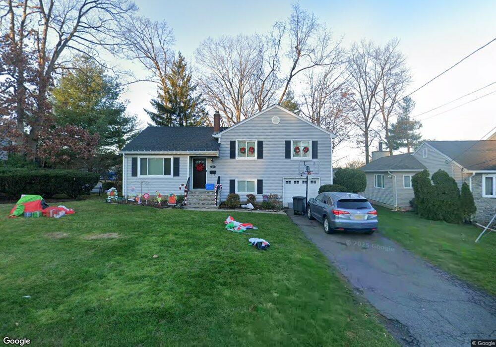
124 Linden Ave Emerson, NJ 07630
Estimated Value: $674,942 - $700,000
--
Bed
--
Bath
1,564
Sq Ft
$442/Sq Ft
Est. Value
About This Home
This home is located at 124 Linden Ave, Emerson, NJ 07630 and is currently estimated at $691,986, approximately $442 per square foot. 124 Linden Ave is a home located in Bergen County with nearby schools including Memorial Elementary School, Patrick M. Villano Elementary School, and Emerson Jr Sr High School.
Ownership History
Date
Name
Owned For
Owner Type
Purchase Details
Closed on
Oct 1, 2006
Sold by
Welch John G
Bought by
Polvere Joseph G and Polvere Tonia P
Current Estimated Value
Home Financials for this Owner
Home Financials are based on the most recent Mortgage that was taken out on this home.
Original Mortgage
$270,000
Outstanding Balance
$161,203
Interest Rate
6.47%
Estimated Equity
$530,783
Create a Home Valuation Report for This Property
The Home Valuation Report is an in-depth analysis detailing your home's value as well as a comparison with similar homes in the area
Home Values in the Area
Average Home Value in this Area
Purchase History
| Date | Buyer | Sale Price | Title Company |
|---|---|---|---|
| Polvere Joseph G | $460,000 | -- | |
| Welch John G | -- | -- |
Source: Public Records
Mortgage History
| Date | Status | Borrower | Loan Amount |
|---|---|---|---|
| Open | Welch John G | $270,000 |
Source: Public Records
Tax History Compared to Growth
Tax History
| Year | Tax Paid | Tax Assessment Tax Assessment Total Assessment is a certain percentage of the fair market value that is determined by local assessors to be the total taxable value of land and additions on the property. | Land | Improvement |
|---|---|---|---|---|
| 2025 | $12,703 | $384,600 | $225,200 | $159,400 |
| 2024 | $12,128 | $384,600 | $225,200 | $159,400 |
| 2023 | $11,419 | $377,100 | $225,200 | $151,900 |
| 2022 | $11,419 | $377,100 | $225,200 | $151,900 |
| 2021 | $11,196 | $377,100 | $225,200 | $151,900 |
| 2020 | $10,977 | $377,100 | $225,200 | $151,900 |
| 2019 | $10,729 | $377,100 | $225,200 | $151,900 |
| 2018 | $10,246 | $377,100 | $225,200 | $151,900 |
| 2017 | $10,038 | $377,100 | $225,200 | $151,900 |
| 2016 | $9,820 | $377,100 | $225,200 | $151,900 |
| 2015 | $9,616 | $377,100 | $225,200 | $151,900 |
| 2014 | $9,412 | $377,100 | $225,200 | $151,900 |
Source: Public Records
Map
Nearby Homes
- 21 Valley Brook Dr
- 131 4th Ave
- 15 Spruce Ave
- 140 Vivian Ave
- 30 Birch St
- 75 Demarest Ave
- 212 Hasbrouck Ave
- 148 Cosman St
- 56 Jefferson Ave
- 154 Linwood Ave
- 812 Golf Place
- 92 Locust Ave
- 105 Longview Dr
- 1 High St
- 25 Crest St Unit 206
- 87 Palisade Ave
- 406 Howard St
- 249 Kinderkamack Rd
- 195 Fern St
- 515 Broadway
- 130 Linden Ave
- 256 Lincoln Blvd
- 264 Lincoln Blvd
- 27 S Dorchester Rd
- 136 Linden Ave
- 87 Parker Dr
- 268 Lincoln Blvd
- 21 S Dorchester Rd
- 244 Lincoln Blvd
- 137 Linden Ave
- 33 S Dorchester Rd
- 274 Lincoln Blvd
- 142 Linden Ave
- 81 Parker Dr
- 259 Lincoln Blvd
- 253 Lincoln Blvd
- 263 Lincoln Blvd
- 143 Linden Ave
- 39 S Dorchester Rd
- 278 Lincoln Blvd