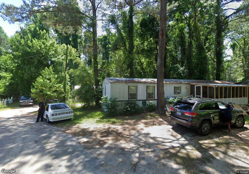
124 Little St Rockingham, NC 28379
Estimated Value: $82,170 - $122,000
--
Bed
--
Bath
980
Sq Ft
$100/Sq Ft
Est. Value
About This Home
This home is located at 124 Little St, Rockingham, NC 28379 and is currently estimated at $97,543, approximately $99 per square foot. 124 Little St is a home with nearby schools including West Rockingham Elementary School, Rockingham Middle School, and Ashley Chapel Educational Center.
Ownership History
Date
Name
Owned For
Owner Type
Purchase Details
Closed on
Jan 1, 1988
Bought by
Sweeney Elijah
Current Estimated Value
Create a Home Valuation Report for This Property
The Home Valuation Report is an in-depth analysis detailing your home's value as well as a comparison with similar homes in the area
Home Values in the Area
Average Home Value in this Area
Purchase History
| Date | Buyer | Sale Price | Title Company |
|---|---|---|---|
| Sweeney Elijah | -- | -- |
Source: Public Records
Tax History Compared to Growth
Tax History
| Year | Tax Paid | Tax Assessment Tax Assessment Total Assessment is a certain percentage of the fair market value that is determined by local assessors to be the total taxable value of land and additions on the property. | Land | Improvement |
|---|---|---|---|---|
| 2025 | $21 | $2,543 | $2,543 | $0 |
| 2024 | $22 | $2,543 | $2,543 | $0 |
| 2023 | $37 | $2,030 | $2,030 | $0 |
| 2022 | $158 | $2,030 | $2,030 | $0 |
| 2021 | $157 | $2,030 | $2,030 | $0 |
| 2020 | $156 | $2,030 | $2,030 | $0 |
| 2019 | $156 | $2,030 | $2,030 | $0 |
| 2018 | $157 | $2,030 | $2,030 | $0 |
| 2016 | $159 | $2,030 | $2,030 | $0 |
| 2014 | -- | $3,927 | $1,927 | $2,000 |
Source: Public Records
Map
Nearby Homes
- 00 Lincoln St
- 628 Midway Rd
- TBD Galestown Rd
- 2 Galestown Rd
- 187 Cartledge Creek Rd
- 125 Barrett St
- 329 Silver Grove Church Rd
- 350 Lake Rd
- 112 Marilyn Ave
- TBD Midway Rd
- 0 Midway Rd
- 35 Bunker St
- 120 Parker St
- 0 N Randolph St
- 0 U S Route 1
- 305 River Rd Unit 3
- 232 Farmstead Ct
- 110 Ponds Ln
- 0 Route 1
- 107 Rockingham Rd