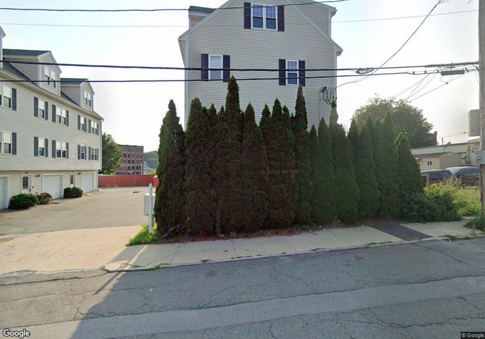
124 Locust St Haverhill, MA 01830
Downtown Haverhill NeighborhoodEstimated Value: $441,000 - $446,000
3
Beds
3
Baths
1,375
Sq Ft
$322/Sq Ft
Est. Value
About This Home
This home is located at 124 Locust St, Haverhill, MA 01830 and is currently estimated at $443,191, approximately $322 per square foot. 124 Locust St is a home located in Essex County with nearby schools including Dr. Paul Nettle Middle School.
Ownership History
Date
Name
Owned For
Owner Type
Purchase Details
Closed on
Apr 1, 2005
Sold by
Deluca Michael G
Bought by
Trebicka Arjan
Current Estimated Value
Home Financials for this Owner
Home Financials are based on the most recent Mortgage that was taken out on this home.
Original Mortgage
$199,500
Interest Rate
5.61%
Mortgage Type
Purchase Money Mortgage
Create a Home Valuation Report for This Property
The Home Valuation Report is an in-depth analysis detailing your home's value as well as a comparison with similar homes in the area
Home Values in the Area
Average Home Value in this Area
Purchase History
| Date | Buyer | Sale Price | Title Company |
|---|---|---|---|
| Trebicka Arjan | $210,000 | -- |
Source: Public Records
Mortgage History
| Date | Status | Borrower | Loan Amount |
|---|---|---|---|
| Open | Trebicka Arjan | $185,000 | |
| Closed | Trebicka Arjan | $199,500 |
Source: Public Records
Tax History Compared to Growth
Tax History
| Year | Tax Paid | Tax Assessment Tax Assessment Total Assessment is a certain percentage of the fair market value that is determined by local assessors to be the total taxable value of land and additions on the property. | Land | Improvement |
|---|---|---|---|---|
| 2025 | $4,237 | $395,600 | $0 | $395,600 |
| 2024 | $4,025 | $378,300 | $0 | $378,300 |
| 2023 | $3,895 | $349,300 | $0 | $349,300 |
| 2022 | $3,732 | $293,400 | $0 | $293,400 |
| 2021 | $3,697 | $275,100 | $0 | $275,100 |
| 2020 | $3,445 | $253,300 | $0 | $253,300 |
| 2019 | $2,962 | $212,300 | $0 | $212,300 |
| 2018 | $2,916 | $204,500 | $0 | $204,500 |
| 2017 | $2,625 | $175,100 | $0 | $175,100 |
| 2016 | $2,330 | $151,700 | $0 | $151,700 |
| 2015 | $2,329 | $151,700 | $0 | $151,700 |
Source: Public Records
Map
Nearby Homes
- 23 Lewis St
- 8 Dustin St
- 18-22 Essex St Unit 22
- 19 Washington St Unit 2
- 19 Washington St Unit 5
- 17 Vine St
- 24 Washington St Unit 402
- 5 Kimball St
- 2 Washington St
- 2 Washington St Unit 201
- 52-58 Washington St Unit BC
- 80 Wingate St Unit 4C
- 80 Wingate St Unit 3C
- 11 York St Unit 11
- 9 York St Unit 9
- 25 Portland St
- 48 Portland St
- 151 Franklin St
- 4 Michael Anthony Rd
- 2 Michael Anthony Rd
- 122 Locust St
- 122 Locust St Unit 6,2
- 122 Locust St Unit 4
- 118 Locust St
- 116 Locust St
- 116 Locust St Unit 116
- 116 Locust St Unit 5,2
- 120 Locust St
- 120 Locust St Unit 3
- 194 Winter St
- 170 Winter St Unit 172
- 166 Winter St Unit 1F
- 166 Winter St Unit 2F
- 166 Winter St Unit 2R
- 166 Winter St
- 97 Locust St
- 24 Grand Ave
- 20 Grand Ave
- 31 B Orchard St Unit B
- 165 Winter St