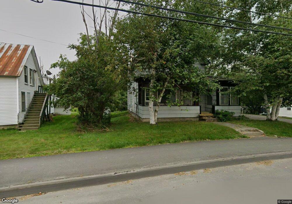
124 Main St Eustis, ME 04936
Estimated Value: $161,000 - $292,000
3
Beds
2
Baths
968
Sq Ft
$204/Sq Ft
Est. Value
About This Home
This home is located at 124 Main St, Eustis, ME 04936 and is currently estimated at $197,922, approximately $204 per square foot. 124 Main St is a home with nearby schools including Stratton Elementary School.
Ownership History
Date
Name
Owned For
Owner Type
Purchase Details
Closed on
Jul 24, 2025
Sold by
Humphries Mark E
Bought by
Humphries Caitlin S and Smith Matthew J
Current Estimated Value
Purchase Details
Closed on
Mar 8, 2006
Sold by
Childers Dennis G and Hansen-Childers Judith
Bought by
Humphries Mark E
Home Financials for this Owner
Home Financials are based on the most recent Mortgage that was taken out on this home.
Original Mortgage
$73,000
Interest Rate
10%
Mortgage Type
Commercial
Create a Home Valuation Report for This Property
The Home Valuation Report is an in-depth analysis detailing your home's value as well as a comparison with similar homes in the area
Purchase History
| Date | Buyer | Sale Price | Title Company |
|---|---|---|---|
| Humphries Caitlin S | $164,000 | -- | |
| Humphries Caitlin S | $164,000 | -- | |
| Humphries Mark E | -- | -- | |
| Humphries Mark E | -- | -- | |
| Humphries Mark E | -- | -- |
Source: Public Records
Mortgage History
| Date | Status | Borrower | Loan Amount |
|---|---|---|---|
| Previous Owner | Humphries Mark E | $75,400 | |
| Previous Owner | Humphries Mark E | $73,000 |
Source: Public Records
Tax History
| Year | Tax Paid | Tax Assessment Tax Assessment Total Assessment is a certain percentage of the fair market value that is determined by local assessors to be the total taxable value of land and additions on the property. | Land | Improvement |
|---|---|---|---|---|
| 2024 | $1,608 | $183,800 | $25,900 | $157,900 |
| 2023 | $1,642 | $183,500 | $25,000 | $158,500 |
| 2022 | $1,316 | $138,500 | $25,000 | $113,500 |
| 2021 | $1,388 | $107,600 | $20,000 | $87,600 |
| 2020 | $1,345 | $107,600 | $20,000 | $87,600 |
| 2019 | $5,170 | $108,000 | $20,000 | $88,000 |
| 2018 | $1,419 | $108,300 | $20,000 | $88,300 |
| 2017 | $1,408 | $108,300 | $20,000 | $88,300 |
| 2016 | $1,387 | $108,600 | $20,000 | $88,600 |
| 2015 | $1,439 | $109,000 | $20,000 | $89,000 |
| 2014 | -- | $109,400 | $20,000 | $89,400 |
| 2009 | -- | $102,400 | $0 | $0 |
Source: Public Records
Map
Nearby Homes
- 186 Main St
- 9 Tranquility Ln
- 14 Dam Rd
- 12 Bog Rd
- 11 Porcupine Trail
- 27 Peabody Rd
- 27 Reed Rd
- 81 B Red Pine Ln
- 6-01 Eustis Ridge Rd
- 60&66 Gravel Pit Rd
- 484 Eustis Ridge Rd
- 64 Ip Rd
- 233 Porter Nadeau Rd
- 95-4 Lot D Porter Nadeau Rd
- 54 Eustis Village Rd
- 59 Eustis Village Rd
- 118 Glidden Rd
- 1480 Arnold Trail
- 42 Rabbit Hollow Rd
- 4004 Bigelow Station
Your Personal Tour Guide
Ask me questions while you tour the home.