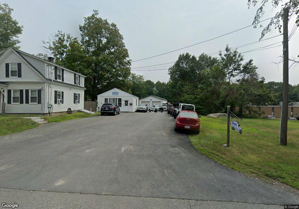
124 Main St Northborough, MA 01532
Estimated Value: $847,725
--
Bed
2
Baths
1,856
Sq Ft
$457/Sq Ft
Est. Value
About This Home
This home is located at 124 Main St, Northborough, MA 01532 and is currently estimated at $847,725, approximately $456 per square foot. 124 Main St is a home located in Worcester County with nearby schools including Marguerite E. Peaslee Elementary School, Robert E. Melican Middle School, and Algonquin Regional High School.
Ownership History
Date
Name
Owned For
Owner Type
Purchase Details
Closed on
Jul 30, 2002
Sold by
Lamy Prop Inc
Bought by
124 Main St Rt and Curtis Andrew J
Current Estimated Value
Purchase Details
Closed on
Oct 20, 2000
Sold by
Shumway Helen L
Bought by
Lamy Properties Inc
Home Financials for this Owner
Home Financials are based on the most recent Mortgage that was taken out on this home.
Original Mortgage
$170,000
Interest Rate
7.88%
Mortgage Type
Commercial
Create a Home Valuation Report for This Property
The Home Valuation Report is an in-depth analysis detailing your home's value as well as a comparison with similar homes in the area
Home Values in the Area
Average Home Value in this Area
Purchase History
| Date | Buyer | Sale Price | Title Company |
|---|---|---|---|
| 124 Main St Rt | $337,500 | -- | |
| Lamy Properties Inc | $192,000 | -- |
Source: Public Records
Mortgage History
| Date | Status | Borrower | Loan Amount |
|---|---|---|---|
| Previous Owner | Lamy Properties Inc | $170,000 |
Source: Public Records
Tax History Compared to Growth
Tax History
| Year | Tax Paid | Tax Assessment Tax Assessment Total Assessment is a certain percentage of the fair market value that is determined by local assessors to be the total taxable value of land and additions on the property. | Land | Improvement |
|---|---|---|---|---|
| 2025 | $8,519 | $597,800 | $249,100 | $348,700 |
| 2024 | $7,666 | $536,800 | $201,600 | $335,200 |
| 2023 | $7,460 | $504,400 | $190,200 | $314,200 |
| 2022 | $7,200 | $436,600 | $181,100 | $255,500 |
| 2021 | $6,946 | $405,700 | $164,500 | $241,200 |
| 2020 | $6,950 | $402,900 | $164,500 | $238,400 |
| 2019 | $6,894 | $402,000 | $164,500 | $237,500 |
| 2018 | $6,751 | $388,200 | $160,300 | $227,900 |
| 2017 | $6,351 | $365,200 | $154,900 | $210,300 |
| 2016 | $5,992 | $349,000 | $151,500 | $197,500 |
| 2015 | $9,053 | $541,100 | $314,500 | $226,600 |
| 2014 | $8,738 | $526,700 | $314,500 | $212,200 |
Source: Public Records
Map
Nearby Homes
- 26 Maple St
- 85 Hudson St Unit 85
- 6 Silas Dr
- 6 Vanessa Dr
- 14 Vanessa Dr
- 59 School St Unit A-14
- 5 Swan View Common Dr
- 86 Whitney St
- 71 Summer St
- 13 Deacon St
- 90 W Main St
- 89 W Main St
- 39 Pleasant St Unit B19
- 39 Pleasant St Unit C5
- 132 W Main St
- 19 Crestwood Dr Unit 19
- 129 Bartlett St
- 185-187 South St
- 198 South St
- 223 South St
- 130 Main St
- 121 Main St
- 119 Main St
- 121 Main St Unit 121 2
- 125 Main St
- 123 Main St
- 115 Main St
- 115 Main St Unit 115
- 115 Main St Unit 115, 3
- 117 Main St
- 20 Brigham St
- 1 Stratton Way
- 109 Main St
- 24 Brigham St
- 15 Brigham St
- 107 Main St
- 6 Maple St Unit 205
- 6 Maple St Unit 103
- 6 Maple St Unit 2 B
- 6 Maple St Unit 2