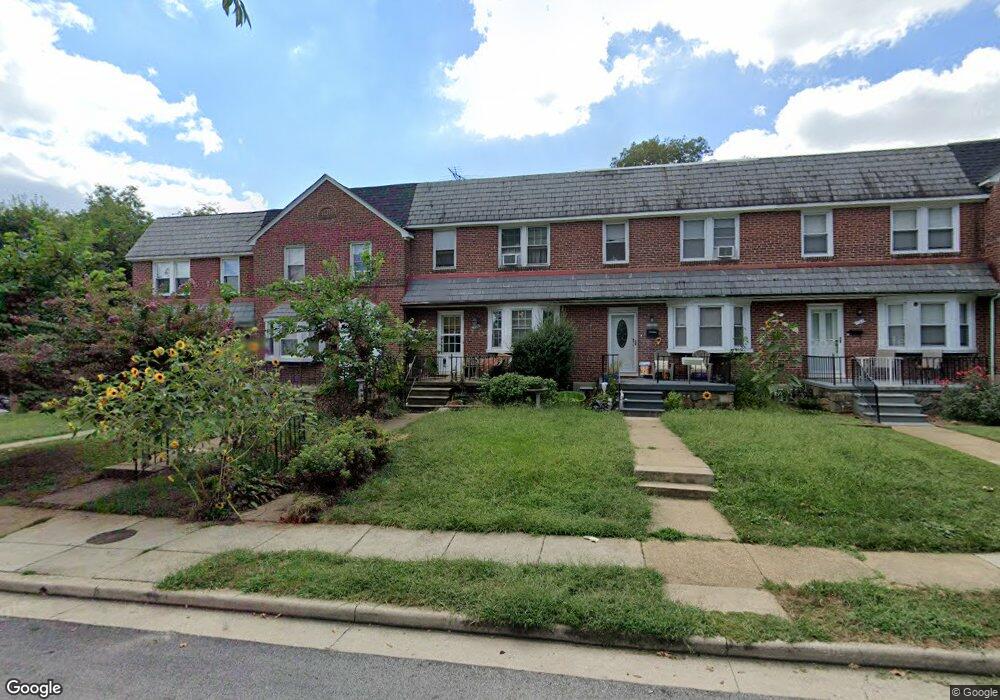
124 Malbrook Rd Baltimore, MD 21229
Estimated Value: $210,592 - $310,000
Studio
2
Baths
1,280
Sq Ft
$218/Sq Ft
Est. Value
About This Home
This home is located at 124 Malbrook Rd, Baltimore, MD 21229 and is currently estimated at $279,398, approximately $218 per square foot. 124 Malbrook Rd is a home located in Baltimore County with nearby schools including Westowne Elementary, Arbutus Middle School, and Catonsville High School.
Ownership History
Date
Name
Owned For
Owner Type
Purchase Details
Closed on
Jun 2, 2003
Sold by
Owens Michael S
Bought by
Owens Michael S
Current Estimated Value
Purchase Details
Closed on
May 2, 1994
Sold by
Ruth Dolores A
Bought by
Owens Michael S
Home Financials for this Owner
Home Financials are based on the most recent Mortgage that was taken out on this home.
Original Mortgage
$85,129
Interest Rate
7.7%
Create a Home Valuation Report for This Property
The Home Valuation Report is an in-depth analysis detailing your home's value as well as a comparison with similar homes in the area
Home Values in the Area
Average Home Value in this Area
Purchase History
| Date | Buyer | Sale Price | Title Company |
|---|---|---|---|
| Owens Michael S | -- | -- | |
| Owens Michael S | $85,000 | -- |
Source: Public Records
Mortgage History
| Date | Status | Borrower | Loan Amount |
|---|---|---|---|
| Previous Owner | Owens Michael S | $85,129 |
Source: Public Records
Tax History
| Year | Tax Paid | Tax Assessment Tax Assessment Total Assessment is a certain percentage of the fair market value that is determined by local assessors to be the total taxable value of land and additions on the property. | Land | Improvement |
|---|---|---|---|---|
| 2025 | $2,952 | $178,300 | $60,000 | $118,300 |
| 2024 | $2,952 | $188,800 | $60,000 | $128,800 |
| 2023 | $1,420 | $178,267 | $0 | $0 |
| 2022 | $2,648 | $167,733 | $0 | $0 |
| 2021 | $2,407 | $157,200 | $60,000 | $97,200 |
| 2020 | $1,862 | $153,667 | $0 | $0 |
| 2019 | $1,820 | $150,133 | $0 | $0 |
| 2018 | $2,350 | $146,600 | $48,700 | $97,900 |
| 2017 | $2,260 | $145,867 | $0 | $0 |
| 2016 | $1,701 | $145,133 | $0 | $0 |
| 2015 | $1,701 | $144,400 | $0 | $0 |
| 2014 | $1,701 | $144,400 | $0 | $0 |
Source: Public Records
Map
Nearby Homes
- 10 Mardrew Rd
- 425 Overbrook Rd
- 241 Medwick Garth E
- 410 Lambeth Rd
- 619 Aldershot Rd
- 402 Westgate Rd
- 6100 Frederick Ave
- 513 Stamford Rd
- 4 N Belle Grove Rd
- 809 Braeside Rd
- 6 Cromarty Rd
- 127 Cherrydell Rd
- 603 Stamford Rd
- 331 Whitfield Rd
- 6313 Frederick Rd
- 24 Edmondson Ridge Rd
- 312 Small Ct
- 34 Dunmore Rd
- 6125 Mount Ridge Rd
- 27 Somerset Rd
- 122 Malbrook Rd
- 126 Malbrook Rd
- 120 Malbrook Rd
- 118 Malbrook Rd
- 200 Westshire Rd
- 116 Malbrook Rd
- 202 Westshire Rd
- 204 Westshire Rd
- 206 Westshire Rd
- 300 Westowne Rd
- 110 Malbrook Rd
- 208 Westshire Rd
- 302 Westowne Rd
- 210 Westshire Rd
- 108 Malbrook Rd
- 304 Westowne Rd
- 212 Westshire Rd
- 306 Westowne Rd
- 102 Malbrook Rd
- 214 Westshire Rd
Your Personal Tour Guide
Ask me questions while you tour the home.