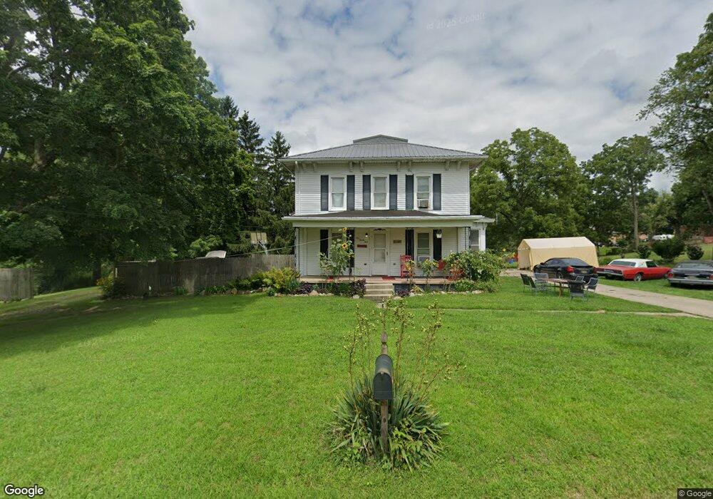
124 Mason St Addison, MI 49220
Estimated Value: $185,000 - $232,000
3
Beds
1
Bath
2,200
Sq Ft
$94/Sq Ft
Est. Value
About This Home
This home is located at 124 Mason St, Addison, MI 49220 and is currently estimated at $207,559, approximately $94 per square foot. 124 Mason St is a home located in Lenawee County with nearby schools including Addison Elementary School, Addison Middle School, and Addison High School.
Ownership History
Date
Name
Owned For
Owner Type
Purchase Details
Closed on
Mar 1, 2019
Sold by
Lenawee County Of
Bought by
Michael Regina
Current Estimated Value
Purchase Details
Closed on
Jul 21, 2010
Sold by
Bank Of New York
Bought by
Michael Regina
Purchase Details
Closed on
Feb 25, 2010
Sold by
Troyer Vaughn
Bought by
The Bank Of New York
Purchase Details
Closed on
Apr 12, 2007
Sold by
Troyer Vaughn
Bought by
Troyer Vaughn and Troyer Elizabeth Everett
Create a Home Valuation Report for This Property
The Home Valuation Report is an in-depth analysis detailing your home's value as well as a comparison with similar homes in the area
Home Values in the Area
Average Home Value in this Area
Purchase History
| Date | Buyer | Sale Price | Title Company |
|---|---|---|---|
| Michael Regina | $1,570 | None Available | |
| Michael Regina | $36,000 | None Available | |
| The Bank Of New York | $103,581 | None Available | |
| Troyer Vaughn | -- | None Available |
Source: Public Records
Tax History Compared to Growth
Tax History
| Year | Tax Paid | Tax Assessment Tax Assessment Total Assessment is a certain percentage of the fair market value that is determined by local assessors to be the total taxable value of land and additions on the property. | Land | Improvement |
|---|---|---|---|---|
| 2025 | $1,133 | $98,500 | $0 | $0 |
| 2024 | $2,035 | $57,700 | $0 | $0 |
| 2023 | $1,088 | $57,700 | $0 | $0 |
| 2022 | $1,004 | $52,700 | $0 | $0 |
| 2021 | $1,725 | $44,100 | $0 | $0 |
| 2020 | $2,386 | $47,500 | $0 | $0 |
| 2019 | $112,536 | $47,500 | $0 | $0 |
| 2018 | $1,328 | $46,794 | $0 | $0 |
| 2017 | $1,293 | $42,720 | $0 | $0 |
| 2016 | $1,282 | $34,426 | $0 | $0 |
| 2014 | -- | $41,969 | $0 | $0 |
Source: Public Records
Map
Nearby Homes
- 135 S Steer St
- 236 S Steer St
- 305 N Steer St
- 6482 Sorby Hwy
- 5875 U S 127
- 13820 N Adams Rd
- 9010 U S 127
- 0
- VL Manitou Beach Road Proposed
- 0 Manitou Beach Rd Lot B
- 9254 Cherry Point Rd
- 360 Park St
- 348 Lenawee St
- 9265 Devils Lake Hwy
- 1100 Elm Blk St
- 8676 Cherry Point Dr
- 8484 N Rollin Hwy
- 15858 Lelah Ln
- 400 Manitou Rd
- 5087 Townley Hwy
- 200 S Steer St
- 196 S Steer St
- 202 S Steer St
- 202 S Steer St Unit House
- 15 Mason
- 215 S Steer St
- 204 S Steer St
- 210 S Steer St Unit US 127
- 210 S Steer St Unit US 12
- 100 Mason St Unit BLK
- 223 S Steer St
- 231 S Steer St
- 200 W Main St Unit BLK
- 200 W Main St
- 0 Mason Unit 4009496
- 0 Mason Unit 4009500
- 0 Mason Unit 950894
- 0 Mason Unit 950890
- 237 S Steer St
- 230 S Steer St