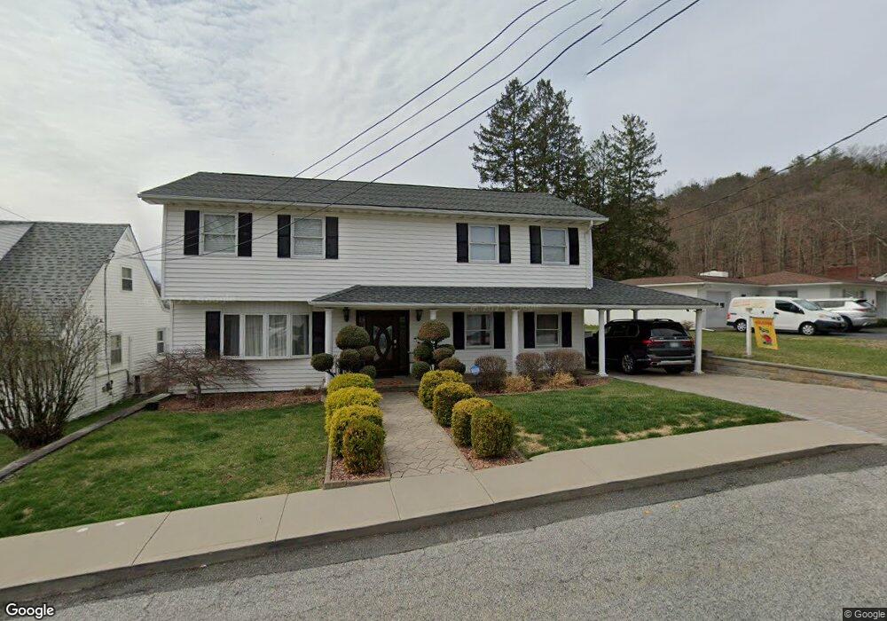
124 Mohawk St Port Jervis, NY 12771
Estimated Value: $370,000 - $411,000
3
Beds
4
Baths
2,184
Sq Ft
$180/Sq Ft
Est. Value
About This Home
This home is located at 124 Mohawk St, Port Jervis, NY 12771 and is currently estimated at $393,823, approximately $180 per square foot. 124 Mohawk St is a home located in Orange County with nearby schools including Port Jervis High School and New Life Christian Day School.
Ownership History
Date
Name
Owned For
Owner Type
Purchase Details
Closed on
Mar 7, 2022
Sold by
Cannon Anthony
Bought by
Cannon Anthony and Cannon Julia
Current Estimated Value
Purchase Details
Closed on
Jun 18, 1999
Sold by
City Of Port Jervis
Bought by
Cannon Anthony
Home Financials for this Owner
Home Financials are based on the most recent Mortgage that was taken out on this home.
Original Mortgage
$74,690
Interest Rate
7.19%
Purchase Details
Closed on
May 6, 1999
Sold by
Calvario Anne
Bought by
City Of Port Jervis New York
Home Financials for this Owner
Home Financials are based on the most recent Mortgage that was taken out on this home.
Original Mortgage
$74,690
Interest Rate
7.19%
Create a Home Valuation Report for This Property
The Home Valuation Report is an in-depth analysis detailing your home's value as well as a comparison with similar homes in the area
Home Values in the Area
Average Home Value in this Area
Purchase History
| Date | Buyer | Sale Price | Title Company |
|---|---|---|---|
| Cannon Anthony | -- | None Available | |
| Cannon Anthony | $77,000 | -- | |
| City Of Port Jervis New York | -- | -- |
Source: Public Records
Mortgage History
| Date | Status | Borrower | Loan Amount |
|---|---|---|---|
| Previous Owner | Cannon Anthony | $74,690 |
Source: Public Records
Tax History Compared to Growth
Tax History
| Year | Tax Paid | Tax Assessment Tax Assessment Total Assessment is a certain percentage of the fair market value that is determined by local assessors to be the total taxable value of land and additions on the property. | Land | Improvement |
|---|---|---|---|---|
| 2024 | $5,248 | $73,100 | $7,500 | $65,600 |
| 2023 | $5,248 | $73,100 | $7,500 | $65,600 |
| 2022 | $6,706 | $73,100 | $7,500 | $65,600 |
| 2021 | $5,805 | $73,100 | $7,500 | $65,600 |
| 2020 | $5,062 | $73,100 | $7,500 | $65,600 |
| 2019 | $726 | $73,100 | $7,500 | $65,600 |
| 2018 | $7,296 | $73,100 | $7,500 | $65,600 |
| 2017 | $4,676 | $73,100 | $7,500 | $65,600 |
| 2016 | $6,409 | $73,100 | $7,500 | $65,600 |
| 2015 | -- | $73,100 | $7,500 | $65,600 |
| 2014 | -- | $73,100 | $7,500 | $65,600 |
Source: Public Records
Map
Nearby Homes
- 118 Ryan St
- 1 Van Ave
- 100 N Orange St
- 75 Orange St
- 201 N Orange St Unit 207
- 29 Maiden Ln
- 18 Hornbeck Ave
- 17 Brooklyn St
- 25 Bruce St
- 4 Catherine St
- 20 Kingston Ave
- 39 Reservoir Ave
- 701 United States Route 209
- 14 Division St
- 3 Delaware St
- 4 Elizabeth St
- 21 Delaware St
- 39 Church St Unit 4
- 39 Church St Unit 3
- 42 Sussex St