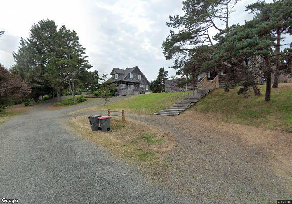
124 N Marion Ave Seaside, OR 97138
Estimated Value: $1,055,000 - $1,446,000
4
Beds
3
Baths
1,898
Sq Ft
$632/Sq Ft
Est. Value
About This Home
This home is located at 124 N Marion Ave, Seaside, OR 97138 and is currently estimated at $1,199,234, approximately $631 per square foot. 124 N Marion Ave is a home located in Clatsop County with nearby schools including Seaside High School.
Ownership History
Date
Name
Owned For
Owner Type
Purchase Details
Closed on
May 25, 2011
Sold by
Schroeder Katherine J
Bought by
Cap Three Llc
Current Estimated Value
Purchase Details
Closed on
Oct 29, 2010
Sold by
Mitchell Mary C and Zehrung Mary
Bought by
Schroeder Katherine J
Home Financials for this Owner
Home Financials are based on the most recent Mortgage that was taken out on this home.
Original Mortgage
$400,000
Interest Rate
4.33%
Mortgage Type
New Conventional
Create a Home Valuation Report for This Property
The Home Valuation Report is an in-depth analysis detailing your home's value as well as a comparison with similar homes in the area
Home Values in the Area
Average Home Value in this Area
Purchase History
| Date | Buyer | Sale Price | Title Company |
|---|---|---|---|
| Cap Three Llc | -- | None Available | |
| Schroeder Katherine J | $688,800 | Ticor Title Ins Co |
Source: Public Records
Mortgage History
| Date | Status | Borrower | Loan Amount |
|---|---|---|---|
| Previous Owner | Schroeder Katherine J | $400,000 |
Source: Public Records
Tax History Compared to Growth
Tax History
| Year | Tax Paid | Tax Assessment Tax Assessment Total Assessment is a certain percentage of the fair market value that is determined by local assessors to be the total taxable value of land and additions on the property. | Land | Improvement |
|---|---|---|---|---|
| 2024 | $5,555 | $485,676 | -- | -- |
| 2023 | $5,399 | $471,531 | $0 | $0 |
| 2022 | $5,237 | $457,798 | $0 | $0 |
| 2021 | $5,346 | $444,465 | $0 | $0 |
| 2020 | $5,157 | $431,520 | $0 | $0 |
| 2019 | $5,024 | $418,952 | $0 | $0 |
| 2018 | $4,843 | $406,751 | $0 | $0 |
| 2017 | $4,714 | $394,905 | $0 | $0 |
| 2016 | $4,072 | $383,404 | $203,210 | $180,194 |
| 2015 | $3,938 | $372,238 | $197,292 | $174,946 |
| 2014 | $3,744 | $361,397 | $0 | $0 |
| 2013 | -- | $287,396 | $0 | $0 |
Source: Public Records
Map
Nearby Homes
- 1396 N Ocean Ave
- 0 Wellington Ave Unit 25-48
- 0 Wellington Ave Unit 1202
- 196 Dylan Ct
- Lots 25-26 5th St
- 1265 D St
- 766 Neacoxie Blvd
- 924 Little Beach Dr
- 856 Neacoxie Blvd
- 856 Neacoxie Blvd Unit 311
- 714 7th St
- 101 13th St Unit 209
- 415 Spruce Ave
- 782 Woodland Ct
- 0 5th St
- 1065 Picture Place
- 1054 Picture Place
- 1238 N Marion Ave Unit 467
- 1238 N Marion Ave Unit 470
- 1238 N Marion Ave
- 124 S Marion
- 161 S Ocean Ave
- 104 S Marion Ave
- 123 S Ocean Ave
- 52 S Marion Ave
- 61 S Ocean Ave
- 183 S Ocean Ave
- 223 Pacific Way
- 321 Pacific Way
- 201 S Ocean Ave
- 235 S Ocean Ave
- 235 S Ocean Ave
- 08100 Nita
- 233 S Ocean Ave
- 8100 Nita Adj To 400 A Unit 35-36
- 194 S Ocean Ave
- 365 Pacific Way
- 158 Pacific Way
- 158 Pacific Way Unit 463
- 220 Nita Ave