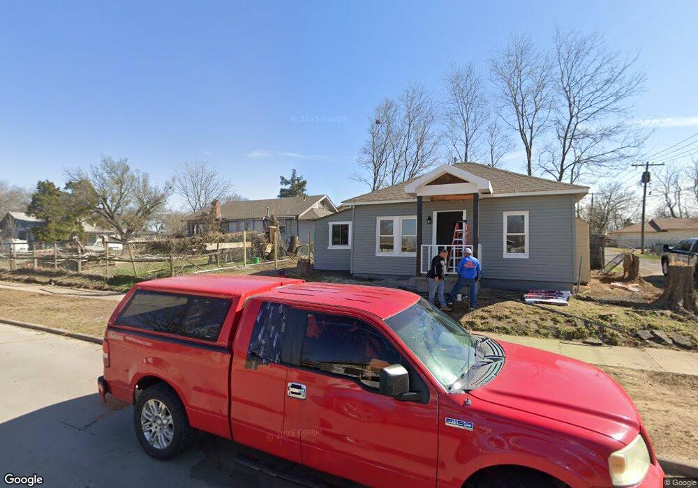
124 N Zunis Ave Tulsa, OK 74110
Kendall-Whittier NeighborhoodEstimated Value: $172,929 - $223,000
--
Bed
--
Bath
1,366
Sq Ft
$138/Sq Ft
Est. Value
About This Home
This home is located at 124 N Zunis Ave, Tulsa, OK 74110 and is currently estimated at $188,982, approximately $138 per square foot. 124 N Zunis Ave is a home with nearby schools including Sequoyah Elementary School, Monroe Demonstration Academy, and McLain High School of Science and Technology.
Ownership History
Date
Name
Owned For
Owner Type
Purchase Details
Closed on
Nov 9, 2017
Sold by
Tulsa Habitat For Humanity Inc
Bought by
Tung Vung Lian and Win Mya
Current Estimated Value
Home Financials for this Owner
Home Financials are based on the most recent Mortgage that was taken out on this home.
Original Mortgage
$126,000
Outstanding Balance
$105,526
Interest Rate
3.83%
Mortgage Type
Purchase Money Mortgage
Estimated Equity
$83,456
Purchase Details
Closed on
Mar 11, 2016
Sold by
Brower Esperanza
Bought by
Tulsa Habitat For Humanity Inc
Create a Home Valuation Report for This Property
The Home Valuation Report is an in-depth analysis detailing your home's value as well as a comparison with similar homes in the area
Home Values in the Area
Average Home Value in this Area
Purchase History
| Date | Buyer | Sale Price | Title Company |
|---|---|---|---|
| Tung Vung Lian | $126,000 | Tulsa Abstract & Title Co | |
| Tulsa Habitat For Humanity Inc | -- | None Available |
Source: Public Records
Mortgage History
| Date | Status | Borrower | Loan Amount |
|---|---|---|---|
| Open | Tung Vung Lian | $126,000 |
Source: Public Records
Tax History Compared to Growth
Tax History
| Year | Tax Paid | Tax Assessment Tax Assessment Total Assessment is a certain percentage of the fair market value that is determined by local assessors to be the total taxable value of land and additions on the property. | Land | Improvement |
|---|---|---|---|---|
| 2024 | $1,685 | $13,704 | $742 | $12,962 |
| 2023 | $1,685 | $14,276 | $850 | $13,426 |
| 2022 | $1,714 | $12,860 | $919 | $11,941 |
| 2021 | $1,698 | $12,860 | $919 | $11,941 |
| 2020 | $1,675 | $12,860 | $919 | $11,941 |
| 2019 | $1,762 | $12,860 | $919 | $11,941 |
| 2018 | $1,766 | $12,860 | $919 | $11,941 |
| 2017 | $136 | $990 | $990 | $0 |
| 2016 | $80 | $594 | $594 | $0 |
| 2015 | $76 | $693 | $693 | $0 |
| 2014 | $72 | $693 | $693 | $0 |
Source: Public Records
Map
Nearby Homes
- 53 N Gillette Ave Unit 9
- 56 N Atlanta Ave
- 2524 E Admiral Ct
- 115 S Xanthus Ave
- 105 S Wheeling Ave
- 1616 E Admiral Place
- 1026 N Utica Ave
- 1747 E Latimer Place
- 2624 E Admiral Blvd
- 2628 E Admiral Blvd
- 333 S Zunis Ave
- 119 N Columbia Ave
- 835 N Columbia Ave
- 1535 E 2nd St S
- 2532 E 4th St
- 2732 E 1st St
- 2812 E Admiral Ct
- 2819 E Admiral Place
- 812 N Delaware Place
- 2823 E 1st St
- 128 N Zunis Ave
- 120 N Zunis Ave
- 116 N Zunis Ave
- 2112 E Haskell St
- 112 N Zunis Ave
- 123 N Yorktown Ave
- 127 N Yorktown Ave
- 119 N Yorktown Ave
- 115 N Yorktown Ave
- 123 N Zunis Ave
- 131 N Zunis Ave
- 127 N Zunis Ave
- 119 N Zunis Ave
- 111 N Yorktown Ave
- 115 N Zunis Ave
- 2119 E Haskell St
- 2115 E Haskell St
- 702 N Zunis Ave
- 111 N Zunis Ave
- 2212 E Haskell St